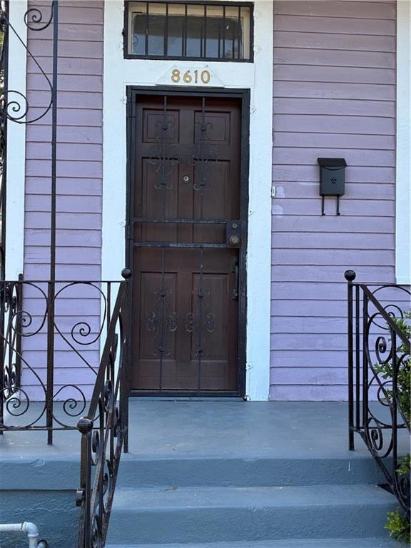
8610 Belfast St New Orleans, LA 70118
Hollygrove Neighborhood
1
Bed
1
Bath
1,200
Sq Ft
3,615
Sq Ft Lot
Highlights
- Porch
- Property is in very good condition
- Fenced
- Central Heating and Cooling System
- Rectangular Lot
About This Home
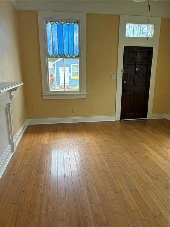
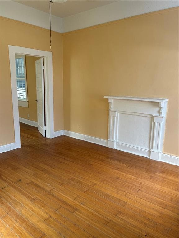
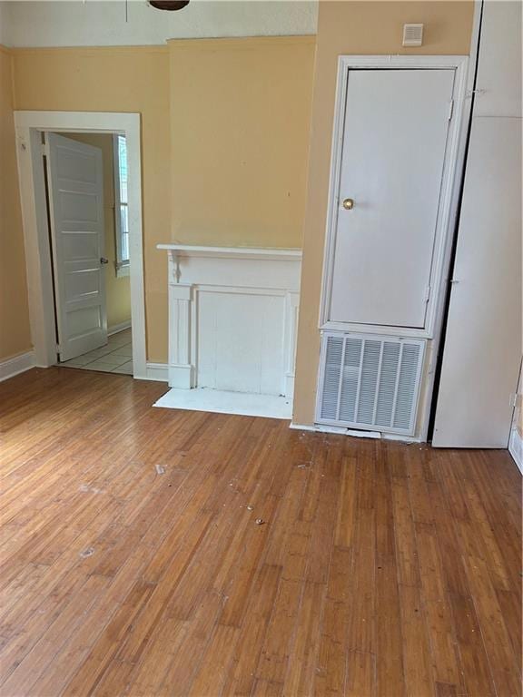
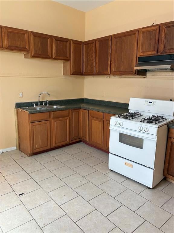
One bedroom single home with large den, inside washer/dryer hook-ups, no carpet, fenced in yard for security, no vouchers, no pets accepted.
Listing Agent
C-21 Richard Berry & Assoc,Inc License #000048580 Listed on: 08/27/2025
Home Details
Home Type
- Single Family
Est. Annual Taxes
- $1,345
Year Built
- Built in 1920
Lot Details
- Lot Dimensions are 30x120
- Fenced
- Rectangular Lot
- Property is in very good condition
Parking
- Carport
Home Design
- Raised Foundation
- Vinyl Siding
Interior Spaces
- 1,200 Sq Ft Home
- 1-Story Property
- Range
- Washer and Dryer Hookup
Bedrooms and Bathrooms
- 1 Bedroom
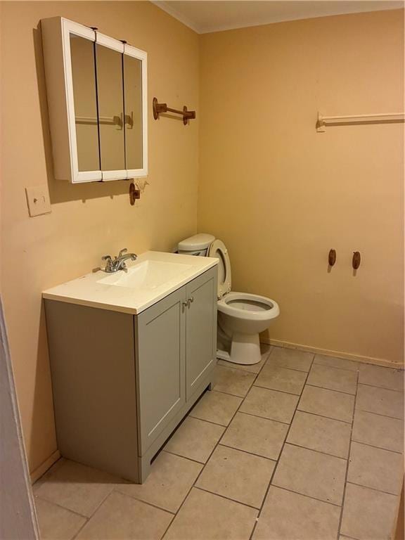
- 1 Full Bathroom
Home Security
- Carbon Monoxide Detectors
- Fire and Smoke Detector
Utilities
- Central Heating and Cooling System
- Cable TV Available
Additional Features
- Porch
- City Lot
Community Details
- Breed Restrictions
Listing and Financial Details
- Security Deposit $1,000
- Tenant pays for electricity, gas, water
- Assessor Parcel Number 716323515
Map
Source: ROAM MLS
MLS Number: 2518888
APN: 7-16-3-235-15
Nearby Homes
- 8620 Apricot St
- 8610 Apricot St
- 2520 Leonidas St
- 8605 Nelson St
- 8611 Nelson St
- 2520 Monroe St Unit B
- 2500 Monroe St
- 8403 Apricot St
- 2417 Eagle St
- 2830 Eagle St
- 2936 Eagle St
- 8428 S Claiborne Ave
- 2323 Leonidas St Unit The Sage Suite
- 8841 S Claiborne Ave Unit C
- 2317 Joliet St
- 8205 Nelson St Unit A
- 8428 Oleander St
- 8537 Forshey St Unit 8539
- 8328 Forshey St Unit 2
- 3315 Leonidas St Unit 3315
