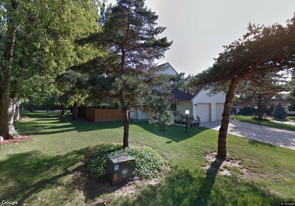
8612 Holly Ln Urbandale, IA 50322
Estimated Value: $171,000 - $185,000
2
Beds
3
Baths
959
Sq Ft
$187/Sq Ft
Est. Value
About This Home
This home is located at 8612 Holly Ln, Urbandale, IA 50322 and is currently estimated at $178,972, approximately $186 per square foot. 8612 Holly Ln is a home located in Polk County with nearby schools including Urbandale Middle School, Urbandale High School, and St Pius X School.
Ownership History
Date
Name
Owned For
Owner Type
Purchase Details
Closed on
Jun 24, 2003
Sold by
Dale Cheryl D
Bought by
Waddell Todd R and Waddell Karen S
Current Estimated Value
Home Financials for this Owner
Home Financials are based on the most recent Mortgage that was taken out on this home.
Original Mortgage
$48,500
Outstanding Balance
$20,829
Interest Rate
5.51%
Mortgage Type
Purchase Money Mortgage
Estimated Equity
$158,143
Purchase Details
Closed on
Apr 10, 2001
Sold by
Munzenmaier Cecelia M
Bought by
Dale Cheryl D
Home Financials for this Owner
Home Financials are based on the most recent Mortgage that was taken out on this home.
Original Mortgage
$79,050
Interest Rate
11.5%
Create a Home Valuation Report for This Property
The Home Valuation Report is an in-depth analysis detailing your home's value as well as a comparison with similar homes in the area
Home Values in the Area
Average Home Value in this Area
Purchase History
| Date | Buyer | Sale Price | Title Company |
|---|---|---|---|
| Waddell Todd R | $105,000 | -- | |
| Dale Cheryl D | $92,500 | -- |
Source: Public Records
Mortgage History
| Date | Status | Borrower | Loan Amount |
|---|---|---|---|
| Open | Waddell Todd R | $48,500 | |
| Previous Owner | Dale Cheryl D | $79,050 |
Source: Public Records
Tax History Compared to Growth
Tax History
| Year | Tax Paid | Tax Assessment Tax Assessment Total Assessment is a certain percentage of the fair market value that is determined by local assessors to be the total taxable value of land and additions on the property. | Land | Improvement |
|---|---|---|---|---|
| 2025 | $3,136 | $196,600 | $24,600 | $172,000 |
| 2024 | $3,136 | $173,100 | $21,400 | $151,700 |
| 2023 | $3,244 | $173,100 | $21,400 | $151,700 |
| 2022 | $3,206 | $151,200 | $19,000 | $132,200 |
| 2021 | $3,196 | $151,200 | $19,000 | $132,200 |
| 2020 | $3,142 | $143,000 | $19,000 | $124,000 |
| 2019 | $2,754 | $143,000 | $19,000 | $124,000 |
| 2018 | $2,654 | $119,800 | $16,900 | $102,900 |
| 2017 | $2,460 | $119,800 | $16,900 | $102,900 |
| 2016 | $2,400 | $109,100 | $16,500 | $92,600 |
| 2015 | $2,400 | $109,100 | $16,500 | $92,600 |
| 2014 | $2,238 | $105,000 | $17,900 | $87,100 |
Source: Public Records
Map
Nearby Homes
- 4221 90th St
- 8626 Alpine Dr Unit D
- 8641 Alpine Dr Unit E
- 8220 Twana Dr
- 4480 87th St Unit 10
- 8914 Valdez Dr
- 4473 89th St
- 4460 90th St
- 9107 Tanglewood Dr
- 4117 83rd St
- 8501 Airline Ave
- 8505 Airline Ave
- 4529 91st St
- 4608 83rd St
- 4719 84th St Unit A
- 8119 Goodman Dr
- 8217 Oakwood Dr
- 3900 Rolling Green Dr
- 4708 89th St
- 8523 Hickory Ln
- 8608 Holly Ln
- 8613 Clover Ln
- 8609 Holly Ln
- 8617 Clover Ln
- 8609 Clover Ln
- 8604 Holly Ln
- 8701 Ginger Ln
- 8605 Holly Ln
- 8605 Clover Ln
- 8705 Ginger Ln
- 8608 Snowberry Ln
- 8705 Clover Ln
- 8700 Snapdragon Ln
- 8604 Snowberry Ln
- 8709 Ginger Ln
- 8708 Ginger Ln
- 8704 Snapdragon Ln
- 8708 Snapdragon Ln
- 8713 Ginger Ln
- 8613 Snowberry Ln