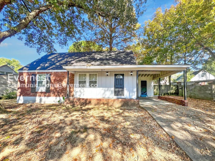

8614 Bunker Hill Dr Southaven, MS 38671
About This Home
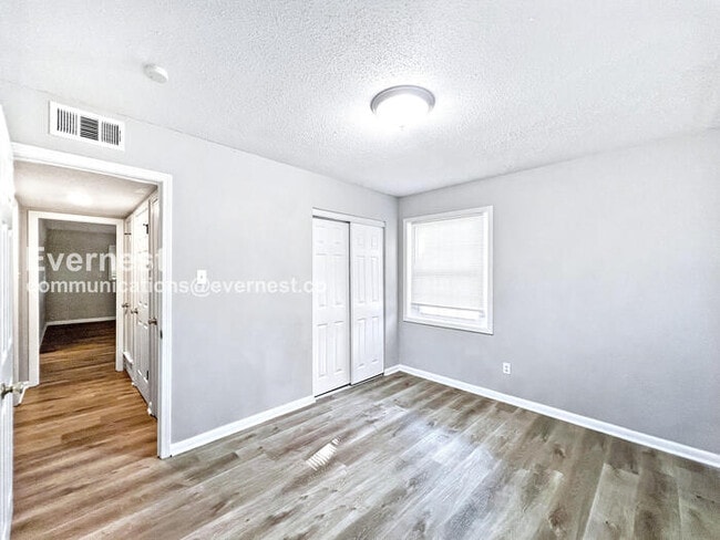
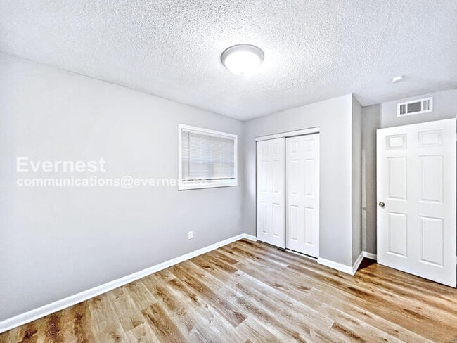
This charming single-family home features 4 bedrooms and 2 bathrooms, perfect for those seeking comfort and convenience. Enjoy the privacy of a fenced yard and the convenience of carport parking.
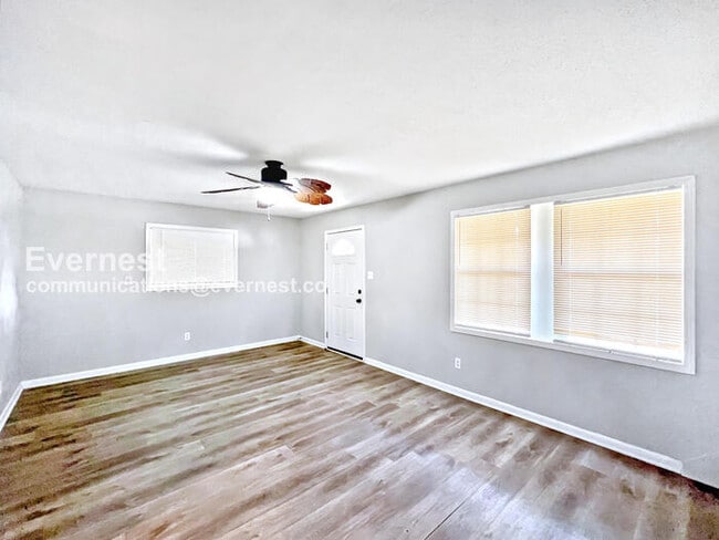
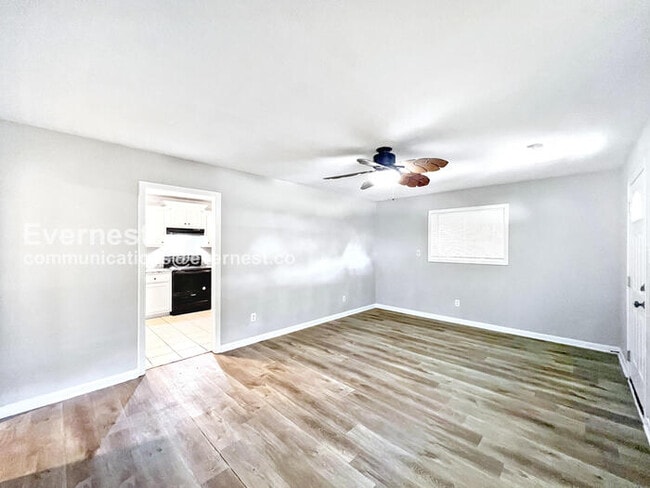
- Ceiling fans for added comfort
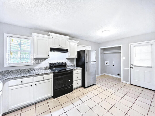
- Modern kitchen with dishwasher and electric stove
- Washer/dryer hookups for easy laundry
- Forced air and central heating
Located in a peaceful neighborhood, perfect for easy access to local amenities and transportation.
1 Gig internet service for $65.95/month. Please confirm service availability with our team before activation.
Pets: Yes to dogs and cats.
Residents are responsible for all other utilities.
Application; administration and additional fees may apply.
Pet fees and pet rent may apply.
All residents will be enrolled in the Resident Benefits Package (RBP) and the Building Protection Plan, which includes credit building, HVAC air filter delivery (for applicable properties), utility setup assistance at move-in, on-demand pest control, and much more! Contact your leasing agent for more information. A security deposit will be required before signing a lease.
The first person to pay the deposit and fees will have the opportunity to move forward with a lease. You must be approved to pay the deposit and fees.
Beware of scammers! Please contact Evernest Property Management at before leasing. Evernest will never request you to pay with Cash App, Zelle, Facebook, or any third party money transfer system.
Contact us to schedule a showing.

Map
- 8590 Cedar Cir W
- 1383 Ranger Dr
- 1242 Brandywine Dr
- 8694 Bunker Hill Dr
- 1596 Hickory Dr
- 8913 Whitworth St
- 1591 Brookhaven Dr
- 8667 Chesterfield Dr
- 8699 Chesterfield Dr
- 8524 Farmington Cove
- 1690 Desoto Cove
- 1821 Tad Cove
- 8628 Kinard Cove
- 8237 Chesterfield Dr
- 1734 Brookhaven Dr
- 1896 Southaven Cir N
- 1582 Vicksburg Dr
- 816 Accomack Cove
- 761 Farmington Dr N
- 8505 Southaven Cir W
- 8398 Hickory Cove
- 1731 Carla Cove
- 1821 Vaught Cir
- 8605 Kinard Cove
- 8377 Whitehead Cove
- 1722 Northfield Dr
- 1582 Custer Dr
- 1329 Annesdale Dr
- 7764 Auburn Cove
- 7689 Ragland Place
- 7650 Coral Meadows Dr
- 1645 Kilarney Ave
- 500 Rasco Rd
- 1561 Winfield Rd
- 7900 Rocky Creek Blvd
- 7590 Amhurst Cove
- 1764 Dorchester Dr
- 8230 Cedarbrook Dr
- 1265 Winfield Rd
- 8105 Elmbrook Dr