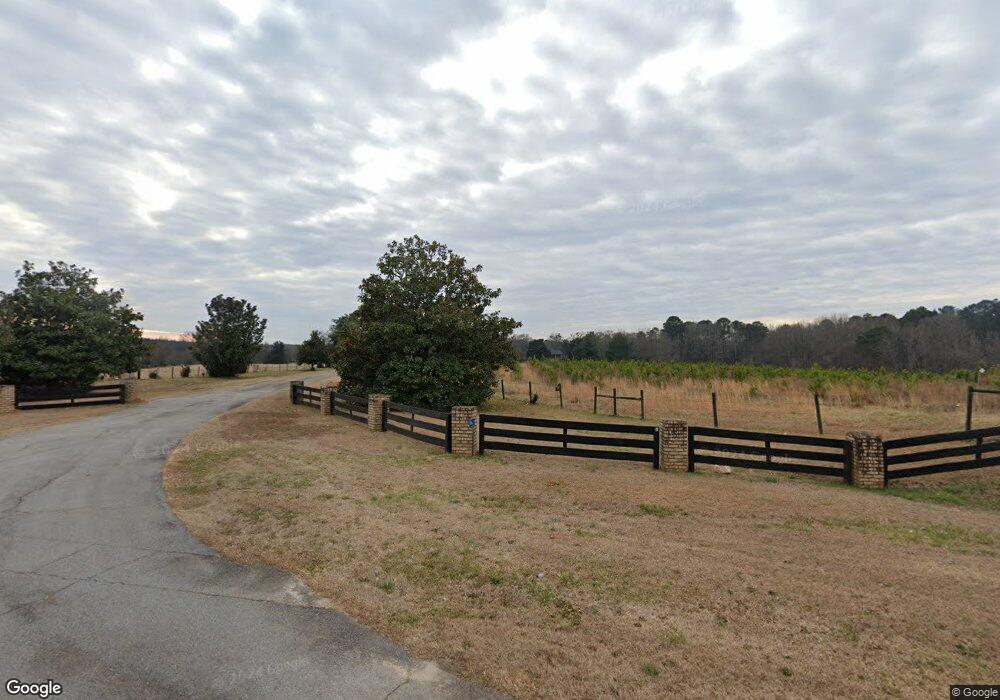
862 Fairplay Dr Social Circle, GA 30025
Estimated Value: $565,000 - $861,919
--
Bed
1
Bath
3,809
Sq Ft
$179/Sq Ft
Est. Value
About This Home
This home is located at 862 Fairplay Dr, Social Circle, GA 30025 and is currently estimated at $680,730, approximately $178 per square foot. 862 Fairplay Dr is a home located in Walton County with nearby schools including Social Circle Primary School, Social Circle Elementary School, and Social Circle Middle School.
Ownership History
Date
Name
Owned For
Owner Type
Purchase Details
Closed on
Jan 30, 2023
Sold by
Preston Patricia Phillips
Bought by
Pinehurst Homes Llc
Current Estimated Value
Home Financials for this Owner
Home Financials are based on the most recent Mortgage that was taken out on this home.
Original Mortgage
$1,190,420
Outstanding Balance
$179,077
Interest Rate
6.31%
Mortgage Type
Mortgage Modification
Estimated Equity
$501,653
Purchase Details
Closed on
Nov 3, 2017
Sold by
Preston John Troy
Bought by
Preston Patricia Phillips
Create a Home Valuation Report for This Property
The Home Valuation Report is an in-depth analysis detailing your home's value as well as a comparison with similar homes in the area
Home Values in the Area
Average Home Value in this Area
Purchase History
| Date | Buyer | Sale Price | Title Company |
|---|---|---|---|
| Pinehurst Homes Llc | $650,000 | -- | |
| Preston Patricia Phillips | -- | -- |
Source: Public Records
Mortgage History
| Date | Status | Borrower | Loan Amount |
|---|---|---|---|
| Open | Pinehurst Homes Llc | $1,190,420 |
Source: Public Records
Tax History Compared to Growth
Tax History
| Year | Tax Paid | Tax Assessment Tax Assessment Total Assessment is a certain percentage of the fair market value that is determined by local assessors to be the total taxable value of land and additions on the property. | Land | Improvement |
|---|---|---|---|---|
| 2024 | $9,755 | $274,236 | $104,760 | $169,476 |
| 2023 | $9,595 | $265,356 | $99,600 | $165,756 |
| 2022 | $1,753 | $251,836 | $93,160 | $158,676 |
| 2021 | $1,583 | $209,716 | $72,400 | $137,316 |
| 2020 | $1,543 | $197,276 | $62,880 | $134,396 |
| 2019 | $1,537 | $178,836 | $55,880 | $122,956 |
| 2018 | $1,516 | $178,836 | $55,880 | $122,956 |
| 2017 | $6,059 | $144,996 | $51,920 | $93,076 |
| 2016 | $1,437 | $130,864 | $43,960 | $86,904 |
| 2015 | $1,397 | $128,664 | $50,560 | $78,104 |
| 2014 | $1,365 | $119,756 | $0 | $0 |
Source: Public Records
Map
Nearby Homes
- 0 Thurman Baccus Rd Unit 10438526
- 190 Orwell Dr
- 341 Boxwood St
- 684 N Cherokee Rd
- 1302 N Cherokee Rd
- 228 Oak Dr NE
- 133 Dove Landing
- 304 Dogwood Ave
- 415 Dove Ln
- 278 Woodfin
- 339 Woodfin Way
- 345 Woodfin Way
- 330 Orwell Dr
- 1013 Amber Stapp Studdard Rd
- 310 Crossroads Dr
- 246 Orwell Dr
- 127 Holly St NE
- 135 N Dogwood Ave
- 271 Orwell Dr
- 862 Fairplay Dr
- 870 Fairplay Dr
- 895 Fairplay Dr
- 895 Fairplay Dr
- 890 Fairplay Dr
- 865 Fairplay Dr NE
- 888 Fairplay Dr NE
- 0 Fairplay Dr Unit 8245980
- 0 Fairplay Dr Unit 8246403
- 0 Fairplay Dr Unit 7096881
- 0 Fairplay Dr Unit 8544184
- 0 Fairplay Dr Unit 7145242
- 0 Fairplay Dr Unit 7096848
- 0 Fairplay Dr Unit 3282482
- 0 Fairplay Dr Unit 3144006
- 0 Fairplay Dr Unit 7555458
- 0 Fairplay Dr
- 757 Fairplay Dr
- 504 Ronthor Dr
- 755 Fairplay Dr