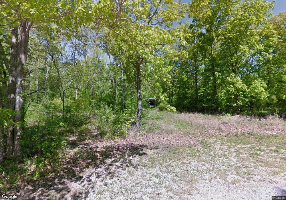
862 Parrish Ln Columbia, TN 38401
Hopewell NeighborhoodEstimated Value: $440,000 - $837,000
--
Bed
2
Baths
2,102
Sq Ft
$317/Sq Ft
Est. Value
About This Home
This home is located at 862 Parrish Ln, Columbia, TN 38401 and is currently estimated at $666,282, approximately $316 per square foot. 862 Parrish Ln is a home located in Maury County with nearby schools including Culleoka Unit School, Agathos Classical School, and Columbia Christian Academy.
Ownership History
Date
Name
Owned For
Owner Type
Purchase Details
Closed on
Jul 25, 2017
Sold by
Rawdon Carl
Bought by
Lee Mark A and Lee Cheryl A
Current Estimated Value
Home Financials for this Owner
Home Financials are based on the most recent Mortgage that was taken out on this home.
Original Mortgage
$42,719
Interest Rate
3.91%
Mortgage Type
Commercial
Purchase Details
Closed on
Nov 6, 2006
Sold by
Whitworth Charles Joshua and Coleman Vanessa Renee
Bought by
Rawdon Carl
Home Financials for this Owner
Home Financials are based on the most recent Mortgage that was taken out on this home.
Original Mortgage
$55,723
Interest Rate
6.27%
Mortgage Type
Unknown
Purchase Details
Closed on
Oct 25, 1974
Bought by
Whitworth Charles
Create a Home Valuation Report for This Property
The Home Valuation Report is an in-depth analysis detailing your home's value as well as a comparison with similar homes in the area
Home Values in the Area
Average Home Value in this Area
Purchase History
| Date | Buyer | Sale Price | Title Company |
|---|---|---|---|
| Lee Mark A | $55,000 | Title And Escrow Of Lawrance | |
| Rawdon Carl | $55,000 | None Available | |
| Whitworth Charles | -- | -- |
Source: Public Records
Mortgage History
| Date | Status | Borrower | Loan Amount |
|---|---|---|---|
| Closed | Lee Mark A | $42,719 | |
| Previous Owner | Rawdon Carl | $55,723 |
Source: Public Records
Tax History Compared to Growth
Tax History
| Year | Tax Paid | Tax Assessment Tax Assessment Total Assessment is a certain percentage of the fair market value that is determined by local assessors to be the total taxable value of land and additions on the property. | Land | Improvement |
|---|---|---|---|---|
| 2024 | $2,128 | $111,400 | $13,225 | $98,175 |
| 2023 | $2,128 | $111,400 | $13,225 | $98,175 |
| 2022 | $1,953 | $102,275 | $4,100 | $98,175 |
| 2021 | $1,953 | $75,250 | $3,300 | $71,950 |
| 2020 | $1,683 | $75,250 | $3,300 | $71,950 |
| 2019 | $1,284 | $75,250 | $3,300 | $71,950 |
| 2018 | $74 | $3,300 | $3,300 | $0 |
| 2017 | $75 | $2,650 | $2,650 | $0 |
| 2016 | $75 | $2,650 | $2,650 | $0 |
| 2015 | $69 | $2,650 | $2,650 | $0 |
| 2014 | $69 | $2,650 | $2,650 | $0 |
Source: Public Records
Map
Nearby Homes
- 21 Peyton Place
- 25 Sarah Ct
- 17 Peyton Place
- 18 Peyton Place
- 16 Peyton Place
- 24 Sarah Ct
- 19 Peyton Place
- 1066 Peyton Place
- 827 Old Lewisburg Hwy
- 2600 Sherman Way
- 1509 Bradshaw Dr
- 0 Horizon Way Unit RTC2769904
- 1504 Potter Dr
- 211 Hanson Ln
- 2529 Precast Dr
- 202 Hanson Ln
- 3155 Rolling Brook Dr
- 3157 Rolling Brook Dr
- 3149 Rolling Brook Dr
- 3147 Rolling Brook Dr
- 890 Parrish Ln
- 871 Parrish Ln
- 0 Bear Creek
- 848 Parrish Ln
- 768 New Lewisburg Hwy
- 867 Mooresville Pike
- 871 Mooresville Pike
- 871 Mooresville Pike Unit Henry lyles
- 758 New Lewisburg Hwy
- 758 New Lewisburg Hwy
- 774 New Lewisburg Hwy
- 762 New Lewisburg Hwy
- 756 New Lewisburg Hwy
- 780 New Lewisburg Hwy
- 845 Mooresville Pike
- 740 New Lewisburg Hwy
- 724 New Lewisburg Hwy
- 927 Mooresville Pike
- 718 New Lewisburg Hwy
- 825 Mooresville Pike
