8620 Sanderling Dr Manassas, VA 20110
Old Town Manassas NeighborhoodEstimated Value: $460,000 - $504,000
3
Beds
3
Baths
1,416
Sq Ft
$339/Sq Ft
Est. Value
About This Home
This home is located at 8620 Sanderling Dr, Manassas, VA 20110 and is currently estimated at $479,399, approximately $338 per square foot. 8620 Sanderling Dr is a home located in Manassas City with nearby schools including Baldwin Elementary School, Mayfield Intermediate School, and Grace E. Metz Middle School.
Ownership History
Date
Name
Owned For
Owner Type
Purchase Details
Closed on
Jul 27, 1998
Sold by
Devibiss David D and Devibiss Laura W
Bought by
Tocker Saul C and Tocker Laurice J
Current Estimated Value
Home Financials for this Owner
Home Financials are based on the most recent Mortgage that was taken out on this home.
Original Mortgage
$136,650
Outstanding Balance
$26,445
Interest Rate
6.99%
Mortgage Type
FHA
Estimated Equity
$452,954
Create a Home Valuation Report for This Property
The Home Valuation Report is an in-depth analysis detailing your home's value as well as a comparison with similar homes in the area
Home Values in the Area
Average Home Value in this Area
Purchase History
| Date | Buyer | Sale Price | Title Company |
|---|---|---|---|
| Tocker Saul C | $138,950 | -- |
Source: Public Records
Mortgage History
| Date | Status | Borrower | Loan Amount |
|---|---|---|---|
| Open | Tocker Saul C | $136,650 |
Source: Public Records
Tax History
| Year | Tax Paid | Tax Assessment Tax Assessment Total Assessment is a certain percentage of the fair market value that is determined by local assessors to be the total taxable value of land and additions on the property. | Land | Improvement |
|---|---|---|---|---|
| 2025 | $5,569 | $442,000 | $130,000 | $312,000 |
| 2024 | $5,569 | $412,100 | $130,000 | $282,100 |
| 2023 | $4,728 | $375,200 | $125,000 | $250,200 |
| 2022 | $4,563 | $340,000 | $108,500 | $231,500 |
| 2021 | $4,347 | $304,200 | $97,000 | $207,200 |
| 2020 | $4,247 | $290,900 | $94,000 | $196,900 |
| 2019 | $4,110 | $277,700 | $91,500 | $186,200 |
| 2018 | $3,856 | $264,100 | $87,000 | $177,100 |
| 2017 | -- | $250,400 | $87,000 | $163,400 |
| 2016 | $3,628 | $258,600 | $0 | $0 |
| 2015 | -- | $253,700 | $87,000 | $166,700 |
| 2014 | -- | $0 | $0 | $0 |
Source: Public Records
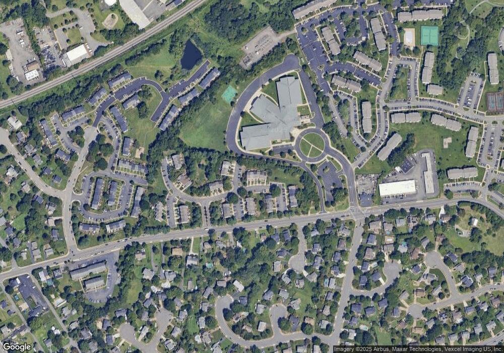
Map
Nearby Homes
- 8600 Sanderling Dr
- 8759 Deblanc Place
- 8770 Deblanc Place
- 8591 Signal Hill Rd
- 8463 Crozier Ct Unit 104
- 9576 Jayhawk Terrace Unit 301
- 9562 Cannoneer Ct Unit 203
- 8376 Buttress Ln Unit 302
- 8374 Buttress Ln Unit 202
- 8383 Buttress Ln Unit 302
- 8510 Clearridge Ln
- 9552 Cannoneer Ct Unit 201
- 9232 Prescott Ave
- 8941 Quarry Rd
- 8956 Center St
- 8261 Knight Station Way
- 8600 Liberty Trail Unit 102
- 8191 Lone Oak Ct
- 9200 Azure Ct Unit 201
- 8280 Clay Ln
- 8618 Sanderling Dr
- 8622 Sanderling Dr
- 8616 Sanderling Dr
- 8614 Sanderling Dr
- 8612 Sanderling Dr
- 9511 Brigantine Ln
- 8609 Sanderling Dr
- 9506 Brigantine Ln
- 9504 Brigantine Ln
- 9513 Brigantine Ln
- 9502 Brigantine Ln
- 9500 Brigantine Ln
- 8607 Sanderling Dr
- 9515 Brigantine Ln
- 8624 Sanderling Dr
- 8605 Sanderling Dr
- 9517 Brigantine Ln
- 8603 Sanderling Dr
- 8626 Sanderling Dr
- 9519 Brigantine Ln
Your Personal Tour Guide
Ask me questions while you tour the home.