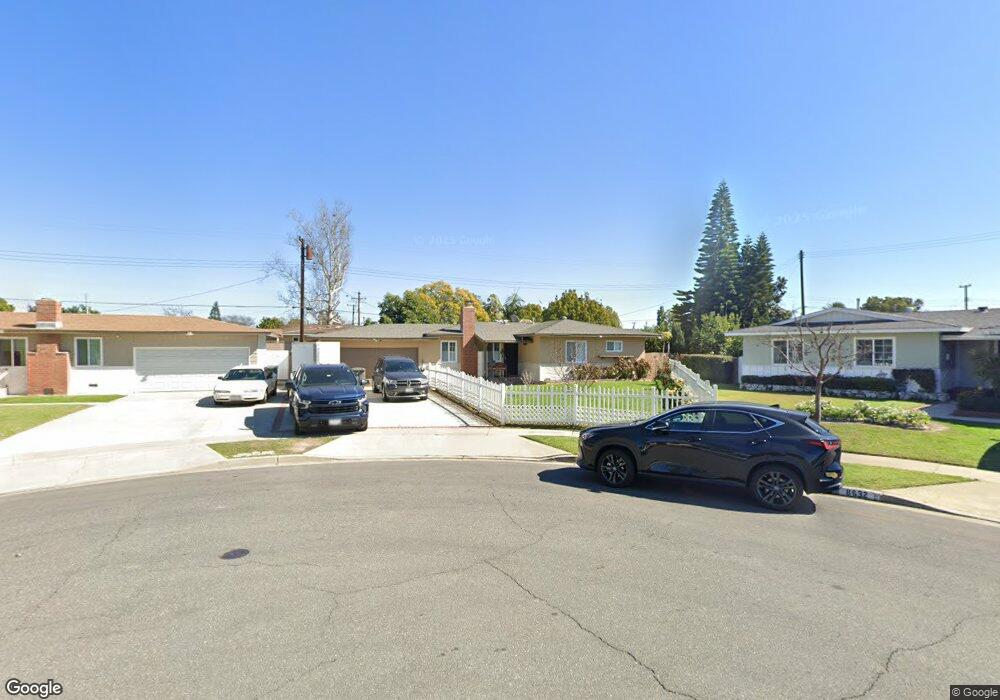
8622 Cherry Cir Buena Park, CA 90620
Estimated Value: $848,000 - $931,000
3
Beds
2
Baths
1,174
Sq Ft
$760/Sq Ft
Est. Value
About This Home
This home is located at 8622 Cherry Cir, Buena Park, CA 90620 and is currently estimated at $892,757, approximately $760 per square foot. 8622 Cherry Cir is a home located in Orange County with nearby schools including Glen H. Dysinger Sr. Elementary School, Dale Jr High School, and Savanna High School.
Ownership History
Date
Name
Owned For
Owner Type
Purchase Details
Closed on
Jan 12, 2010
Sold by
Muckey Richard L and Muckey Michelle N
Bought by
Reyes Joey and Reyes Elaine
Current Estimated Value
Home Financials for this Owner
Home Financials are based on the most recent Mortgage that was taken out on this home.
Original Mortgage
$407,483
Interest Rate
5.25%
Mortgage Type
FHA
Purchase Details
Closed on
Sep 9, 2003
Sold by
Whitaker Dominique M
Bought by
Muckey Richard L and Muckey Michelle N
Home Financials for this Owner
Home Financials are based on the most recent Mortgage that was taken out on this home.
Original Mortgage
$296,000
Interest Rate
5.98%
Mortgage Type
Purchase Money Mortgage
Create a Home Valuation Report for This Property
The Home Valuation Report is an in-depth analysis detailing your home's value as well as a comparison with similar homes in the area
Home Values in the Area
Average Home Value in this Area
Purchase History
| Date | Buyer | Sale Price | Title Company |
|---|---|---|---|
| Reyes Joey | $415,000 | Chicago Title Company | |
| Muckey Richard L | $370,000 | Landamerica Commonwealth Tit |
Source: Public Records
Mortgage History
| Date | Status | Borrower | Loan Amount |
|---|---|---|---|
| Previous Owner | Reyes Joey | $407,483 | |
| Previous Owner | Muckey Richard L | $296,000 |
Source: Public Records
Tax History
| Year | Tax Paid | Tax Assessment Tax Assessment Total Assessment is a certain percentage of the fair market value that is determined by local assessors to be the total taxable value of land and additions on the property. | Land | Improvement |
|---|---|---|---|---|
| 2025 | $6,205 | $535,683 | $442,839 | $92,844 |
| 2024 | $6,205 | $525,180 | $434,156 | $91,024 |
| 2023 | $6,053 | $514,883 | $425,643 | $89,240 |
| 2022 | $5,978 | $504,788 | $417,297 | $87,491 |
| 2021 | $5,894 | $494,891 | $409,115 | $85,776 |
| 2020 | $5,860 | $489,817 | $404,920 | $84,897 |
| 2019 | $5,713 | $480,213 | $396,980 | $83,233 |
| 2018 | $5,610 | $470,798 | $389,197 | $81,601 |
| 2017 | $5,433 | $461,567 | $381,566 | $80,001 |
| 2016 | $5,331 | $452,517 | $374,084 | $78,433 |
| 2015 | $5,272 | $445,720 | $368,465 | $77,255 |
| 2014 | $5,007 | $436,989 | $361,247 | $75,742 |
Source: Public Records
Map
Nearby Homes
- 2758 W Stockton Ave
- 8367 Mango Way
- 8452 Stanton Ave
- 2943 W Lincoln Ave
- 7884 Adams Way
- 2770 W Lincoln Ave Unit 29A
- 2770 W Lincoln Ave Unit 55
- 109 S Laxore St Unit 303
- 109 S Laxore St Unit 306
- 107 S Laxore St Unit 408
- 199 N Magnolia Ave Unit B
- 7720 Crescent Ave
- 216 S Ridgeway St
- 8072 Woodland Dr Unit 31
- 231 S Laxore St
- 927 N Magnolia Ave
- 2942 W Floyd Ave
- 211 S Beach Blvd Unit 92
- 211 S Beach Blvd Unit 72
- 211 S Beach Blvd Unit 13
- 8632 Cherry Cir
- 8612 Cherry Cir
- 8637 Kendor Dr
- 8625 Kendor Dr
- 8649 Kendor Dr
- 8613 Kendor Dr
- 8638 Cedar Dr
- 8664 Chestnut Cir
- 8602 Cherry Cir
- 8661 Kendor Dr
- 8598 Cedar Dr
- 8601 Kendor Dr
- 8674 Chestnut Cir
- 8660 Cedar Dr
- 8673 Kendor Dr
- 8586 Cedar Dr
- 8640 Kendor Dr
- 8571 Kendor Dr
- 8631 Cedar Dr
- 8684 Chestnut Cir