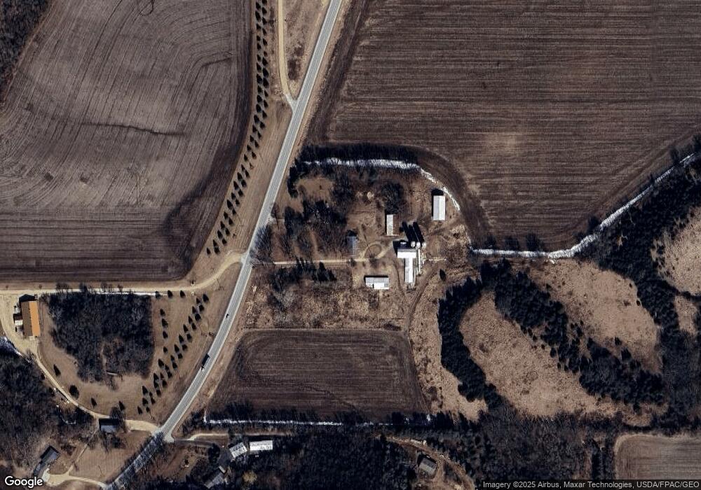
8623 Highway 63 N Rochester, MN 55906
Estimated Value: $595,000
5
Beds
2
Baths
1,920
Sq Ft
$310/Sq Ft
Est. Value
About This Home
This home is located at 8623 Highway 63 N, Rochester, MN 55906 and is currently estimated at $595,000, approximately $309 per square foot. 8623 Highway 63 N is a home located in Olmsted County with nearby schools including Gage Elementary School, Century Senior High School, and Greene Valley School.
Ownership History
Date
Name
Owned For
Owner Type
Purchase Details
Closed on
May 10, 2018
Sold by
Banitt Brian Brian
Current Estimated Value
Purchase Details
Closed on
Feb 6, 2012
Sold by
Banitt Arlene Mary
Bought by
Banitt Brian John
Create a Home Valuation Report for This Property
The Home Valuation Report is an in-depth analysis detailing your home's value as well as a comparison with similar homes in the area
Home Values in the Area
Average Home Value in this Area
Purchase History
| Date | Buyer | Sale Price | Title Company |
|---|---|---|---|
| -- | $500,000 | -- | |
| The Javon R Bea Revocable Trust | $500,000 | Title Services Inc | |
| Banitt Brian John | -- | None Available |
Source: Public Records
Mortgage History
| Date | Status | Borrower | Loan Amount |
|---|---|---|---|
| Closed | Banitt Brian John | $0 |
Source: Public Records
Tax History Compared to Growth
Tax History
| Year | Tax Paid | Tax Assessment Tax Assessment Total Assessment is a certain percentage of the fair market value that is determined by local assessors to be the total taxable value of land and additions on the property. | Land | Improvement |
|---|---|---|---|---|
| 2024 | $7,088 | $545,200 | $532,000 | $13,200 |
| 2023 | $5,326 | $351,700 | $292,700 | $59,000 |
| 2022 | $5,017 | $293,900 | $234,900 | $59,000 |
| 2021 | $4,776 | $249,400 | $190,400 | $59,000 |
| 2020 | $5,325 | $249,400 | $190,400 | $59,000 |
| 2019 | $3,418 | $249,400 | $190,400 | $59,000 |
| 2018 | $3,433 | $21,900 | $21,900 | $0 |
| 2017 | $3,482 | $271,300 | $212,300 | $59,000 |
| 2016 | $3,604 | $282,600 | $223,600 | $59,000 |
| 2015 | $3,428 | $282,600 | $223,600 | $59,000 |
| 2014 | $3,648 | $522,400 | $463,400 | $59,000 |
| 2012 | -- | $453,800 | $394,300 | $59,500 |
Source: Public Records
Map
Nearby Homes
- TBD County Road 121 NE
- TBD Salley Ridge (L4b1 Phase 2) Ln NE
- TBD Salley Ridge (L2b1 Phase 2) Ln NE
- 10482 11th Ave NE
- 499 73rd St NW
- 1057 Ridge Crest Ln NW
- 8426 11th Ave NW
- xxxx (Parcel 3) White Bridge Rd NE
- xxxx (Parcel 2) White Bridge Rd NE
- xxx White Bridge Rd NE
- 7000 Halifax Ln NW
- 583 Oak Valley Ln NW
- 7414 Skyward Ln NW
- Mckinley Plan at Hadley Hills
- Vanderbilt Plan at Hadley Hills
- Sinclair Plan at Hadley Hills
- Lewis Plan at Hadley Hills
- 6480 55th Ave NE
- 1151 Skypoint Dr NW
- 6518 W River Rd NW
- 8623 Highway 63 N
- 8641 Highway 63 N
- 8450 Highway 63 N
- 8427 Highway 63 N
- 8921 Highway 63 N
- 8945 Us Highway 63
- 8945 8945 Highway 63 N
- 8945 Us Highway 63
- 8945 Highway 63 N
- 8945 Highway 63 N
- 8320 Highway 63 N
- 9013 30th Ave NE
- 2650 First Born Rd NE
- 9048 30th Ave NE
- 2420 First Born Rd NE
- 9231 Highway 63 N
- 8105 Highway 63 N
- 9309 Highway 63 N
- 2708 County 121 Rd NE
- TBD 75th St NW