8629 Dewey Rd Emmett, ID 83617
Gem County NeighborhoodEstimated Value: $806,615 - $1,160,000
4
Beds
4
Baths
2,965
Sq Ft
$345/Sq Ft
Est. Value
About This Home
This home is located at 8629 Dewey Rd, Emmett, ID 83617 and is currently estimated at $1,023,904, approximately $345 per square foot. 8629 Dewey Rd is a home located in Gem County with nearby schools including Shadow Butte Elementary School.
Ownership History
Date
Name
Owned For
Owner Type
Purchase Details
Closed on
Dec 9, 2019
Sold by
Alder Todd M
Bought by
Alder Todd M and Alder Tyann S
Current Estimated Value
Home Financials for this Owner
Home Financials are based on the most recent Mortgage that was taken out on this home.
Original Mortgage
$287,989
Interest Rate
3.75%
Mortgage Type
New Conventional
Purchase Details
Closed on
Feb 6, 2009
Sold by
Alder Todd M and Alder Tyann S
Bought by
Alder Todd M
Home Financials for this Owner
Home Financials are based on the most recent Mortgage that was taken out on this home.
Original Mortgage
$197,000
Interest Rate
5.01%
Mortgage Type
New Conventional
Create a Home Valuation Report for This Property
The Home Valuation Report is an in-depth analysis detailing your home's value as well as a comparison with similar homes in the area
Home Values in the Area
Average Home Value in this Area
Purchase History
| Date | Buyer | Sale Price | Title Company |
|---|---|---|---|
| Alder Todd M | -- | Pioneer Title Co Of Gem C | |
| Alder Todd M | -- | -- |
Source: Public Records
Mortgage History
| Date | Status | Borrower | Loan Amount |
|---|---|---|---|
| Closed | Alder Todd M | $287,989 | |
| Closed | Alder Todd M | $197,000 |
Source: Public Records
Tax History Compared to Growth
Tax History
| Year | Tax Paid | Tax Assessment Tax Assessment Total Assessment is a certain percentage of the fair market value that is determined by local assessors to be the total taxable value of land and additions on the property. | Land | Improvement |
|---|---|---|---|---|
| 2024 | $1,833 | $776,632 | $279,736 | $496,896 |
| 2023 | $1,559 | $783,566 | $0 | $0 |
| 2021 | $2,292 | $618,385 | $148,392 | $469,993 |
| 2020 | $2,202 | $453,802 | $97,025 | $356,777 |
| 2019 | $2,239 | $438,643 | $72,700 | $365,943 |
| 2018 | $2,124 | $379,804 | $61,200 | $318,604 |
| 2017 | $2,263 | $342,470 | $58,600 | $283,870 |
| 2016 | $2,231 | $317,800 | $53,600 | $264,200 |
| 2015 | $2,253 | $310,840 | $48,500 | $262,340 |
| 2014 | $2,253 | $272,660 | $46,000 | $226,660 |
Source: Public Records
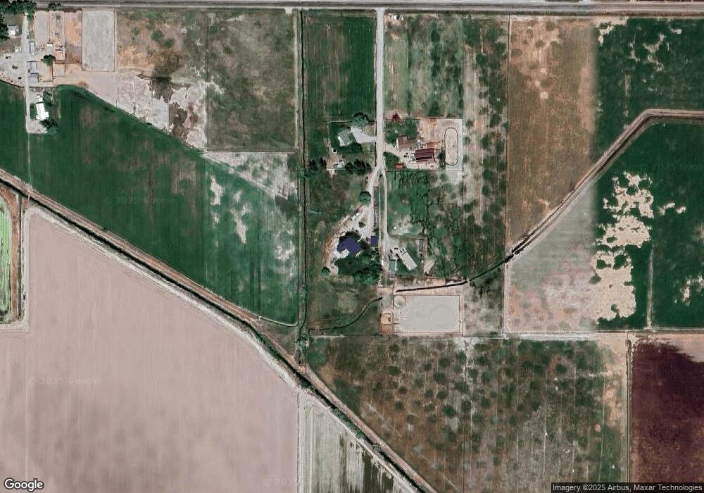
Map
Nearby Homes
- 8627 Dewey Rd
- TBD Dewey Rd
- 2635 Berglund Rd
- 2670 Berglund Rd
- 2625 Berglund Rd
- 9350 Dewey Rd
- 9400 Bill Burns Rd
- 2333 Berglund Rd
- 1XXX Bishop Rd
- 7202 W Highway 52
- 2195 Bishop Rd
- 9731 Bill Burns Rd
- 1415 Morehouse Rd
- 2777 Bowman Rd
- 9177 Brill Rd
- 9221 Brill Rd
- 2798 Hanna Ave
- 1334 Morehouse Rd
- 3512 Bowman Rd
- 3617 Bowman Rd