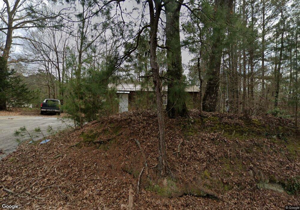
863 Owens Rd Calhoun, LA 71225
Estimated Value: $160,000 - $299,768
4
Beds
2
Baths
384
Sq Ft
$626/Sq Ft
Est. Value
About This Home
This home is located at 863 Owens Rd, Calhoun, LA 71225 and is currently estimated at $240,442, approximately $626 per square foot. 863 Owens Rd is a home with nearby schools including Calhoun Elementary School, Central Elementary School, and Calhoun Middle School.
Ownership History
Date
Name
Owned For
Owner Type
Purchase Details
Closed on
Jul 31, 2020
Sold by
Hubbard Todd I and Hubbard Elizabeth R
Bought by
Hughes Michael A and Reae-Martindale Taylor
Current Estimated Value
Purchase Details
Closed on
Nov 14, 2005
Sold by
Cascio Ronnie Gene and Cascio Sharon Faye Parker
Bought by
Hubbard Tod Lan and Hubbard Elizabeth Rose Myers
Home Financials for this Owner
Home Financials are based on the most recent Mortgage that was taken out on this home.
Original Mortgage
$129,540
Interest Rate
6.04%
Mortgage Type
New Conventional
Create a Home Valuation Report for This Property
The Home Valuation Report is an in-depth analysis detailing your home's value as well as a comparison with similar homes in the area
Purchase History
| Date | Buyer | Sale Price | Title Company |
|---|---|---|---|
| Hughes Michael A | $226,000 | None Available | |
| Hubbard Tod Lan | $127,000 | None Available |
Source: Public Records
Mortgage History
| Date | Status | Borrower | Loan Amount |
|---|---|---|---|
| Previous Owner | Hubbard Tod Lan | $129,540 |
Source: Public Records
Tax History
| Year | Tax Paid | Tax Assessment Tax Assessment Total Assessment is a certain percentage of the fair market value that is determined by local assessors to be the total taxable value of land and additions on the property. | Land | Improvement |
|---|---|---|---|---|
| 2025 | $725 | $6,990 | $3,476 | $3,514 |
| 2024 | $725 | $4,405 | $3,476 | $929 |
| 2023 | $733 | $4,302 | $3,476 | $826 |
| 2022 | $308 | $3,476 | $3,476 | $0 |
| 2021 | $312 | $3,476 | $3,476 | $0 |
| 2020 | $312 | $3,476 | $3,476 | $0 |
| 2019 | $1,011 | $11,285 | $617 | $10,668 |
| 2018 | $339 | $11,285 | $617 | $10,668 |
| 2017 | $1,011 | $11,285 | $617 | $10,668 |
| 2016 | $1,010 | $11,269 | $601 | $10,668 |
| 2015 | $337 | $11,269 | $601 | $10,668 |
| 2014 | $337 | $11,269 | $601 | $10,668 |
| 2013 | $336 | $11,269 | $601 | $10,668 |
Source: Public Records
Map
Nearby Homes
- 185 Ray Chapman Rd
- 00 Indian Orchard Ln
- 193 Purdy Place
- 156 Laney Crocker Rd E
- 00 Connie Walters Rd
- 385 Ashley Griggs Rd
- 26 Ashley Griggs Rd
- 181 Calhoun Loop Rd
- 1206 Griggs Rd
- 333 Highway 151 S
- 219 Chief Ln
- 283 Crocker Rd
- 0 Luebenia Rd Unit 205254
- 211 Thorn Dr Unit Thorn Drive
- 235 Chief Ln
- 143 Simba Ln
- 195 Simba Ln
- 194 Simba Ln
- 193 Simba Ln
- 131 Simba Ln
- 847 Owens Rd
- 846 Owens Rd
- 135 Ray Chapman Rd
- 112 Ray Chapman Rd
- 864 Owens Rd
- 807 Owens Rd
- 931 Owens Rd
- 765 Owens Rd
- 202 Ray Chapman Rd
- 938 Owens Rd
- 143 Bill Banks Rd
- 169 Bill Banks Rd
- 735 Owens Rd
- 233 Bill Banks Rd
- 257 Ray Chapman Rd
- 000 Bill Banks Rd
- 3925 Highway 80 W
- 713 Owens Rd
- 0 Owens St
- 714 Owens Rd
Your Personal Tour Guide
Ask me questions while you tour the home.