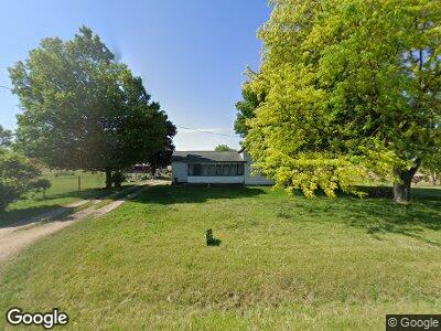
863 W Colon Rd Bronson, MI 49028
Estimated Value: $106,000 - $159,000
--
Bed
--
Bath
--
Sq Ft
3.25
Acres
About This Home
This home is located at 863 W Colon Rd, Bronson, MI 49028 and is currently estimated at $131,146. 863 W Colon Rd is a home located in Branch County with nearby schools including Anderson Elementary School, Ryan Elementary School, and Bronson Junior/Senior High School.
Ownership History
Date
Name
Owned For
Owner Type
Purchase Details
Closed on
Dec 8, 2021
Sold by
Herman Philip M and Herman Alicia S
Bought by
Herman Curtis D
Current Estimated Value
Home Financials for this Owner
Home Financials are based on the most recent Mortgage that was taken out on this home.
Original Mortgage
$36,100
Interest Rate
3.09%
Mortgage Type
New Conventional
Purchase Details
Closed on
Nov 26, 2003
Sold by
Noga Brenda L
Bought by
Herman Philip M
Home Financials for this Owner
Home Financials are based on the most recent Mortgage that was taken out on this home.
Original Mortgage
$61,400
Interest Rate
5.25%
Mortgage Type
Purchase Money Mortgage
Create a Home Valuation Report for This Property
The Home Valuation Report is an in-depth analysis detailing your home's value as well as a comparison with similar homes in the area
Home Values in the Area
Average Home Value in this Area
Purchase History
| Date | Buyer | Sale Price | Title Company |
|---|---|---|---|
| Herman Curtis D | $56,000 | Branch Cnty Abstract & Ttl I | |
| Herman Philip M | $61,400 | Chicago Title |
Source: Public Records
Mortgage History
| Date | Status | Borrower | Loan Amount |
|---|---|---|---|
| Open | Herman Curtis D | $62,000 | |
| Closed | Herman Curtis | $10,000 | |
| Closed | Herman Curtis D | $36,100 | |
| Previous Owner | Herman Philip M | $61,400 |
Source: Public Records
Tax History Compared to Growth
Tax History
| Year | Tax Paid | Tax Assessment Tax Assessment Total Assessment is a certain percentage of the fair market value that is determined by local assessors to be the total taxable value of land and additions on the property. | Land | Improvement |
|---|---|---|---|---|
| 2024 | $337 | $51,200 | $0 | $0 |
| 2023 | $337 | $49,000 | $0 | $0 |
| 2022 | $337 | $48,600 | $0 | $0 |
| 2021 | -- | $46,600 | $0 | $0 |
| 2020 | -- | $38,500 | $0 | $0 |
| 2019 | -- | $33,900 | $0 | $0 |
| 2018 | -- | $31,900 | $0 | $0 |
| 2017 | -- | $33,900 | $0 | $0 |
| 2016 | -- | $35,078 | $0 | $0 |
| 2015 | -- | $26,721 | $0 | $0 |
| 2014 | -- | $26,994 | $0 | $0 |
| 2013 | -- | $28,289 | $0 | $0 |
Source: Public Records
Map
Nearby Homes
- 363 Cove Resort Dr
- 0 Langwell Rd Unit 50169256
- 130 Osborn Rd
- 850 Horkey Rd
- 737 N Matteson St
- 235 N Douglas St
- 150 Washington St
- 124 W Clay St
- 219 West St
- 140 W Clay St
- 521 W Chicago St
- 59178 Nora Dr
- 640 S Walker St
- 440 Sprung Lake Dr
- 60180 S Burr Oak Rd
- 58560 Willow Dr
- 307 Broadway St
- 33290 Oak Leaf Trail
- 234 S Snow Prairie Rd
- 1115 Heights Dr
- 863 W Colon Rd
- 10011 Fischer's Hideaway
- 878 W Colon Rd
- 11451 Moser Dr
- 10981 Moser Dr
- 391 Moser Dr
- 395 Moser Dr
- 838 W Colon Rd
- 373 Moser Dr
- 0 Moser Unit 15055896
- 0 Moser Unit 62019058634
- 0 Moser Unit G21544003
- o Moser Dr
- 0 Moser Unit 2442273
- 0 Moser Unit 2442278
- 0 Moser Unit 2442267
- 0 Moser Unit 2442276
- 0 Moser Unit 2442264
- 0 Moser Unit 2442256
- 0 Moser Unit 2442270