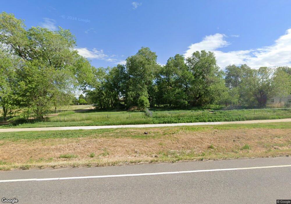
8631 Niwot Rd Niwot, CO 80503
Niwot NeighborhoodEstimated Value: $692,000 - $950,000
2
Beds
2
Baths
1,256
Sq Ft
$617/Sq Ft
Est. Value
About This Home
This home is located at 8631 Niwot Rd, Niwot, CO 80503 and is currently estimated at $774,423, approximately $616 per square foot. 8631 Niwot Rd is a home located in Boulder County with nearby schools including Niwot Elementary School, Sunset Middle School, and Niwot High School.
Ownership History
Date
Name
Owned For
Owner Type
Purchase Details
Closed on
Jul 23, 2025
Sold by
Mayne Patricia A and Mayne Patrick A
Bought by
Patrick A Mayne Revocable Trust
Current Estimated Value
Purchase Details
Closed on
Apr 10, 1995
Sold by
Kazi Tsede and Rosen Joy
Bought by
Mayne Patricia A
Home Financials for this Owner
Home Financials are based on the most recent Mortgage that was taken out on this home.
Original Mortgage
$141,300
Interest Rate
8.48%
Purchase Details
Closed on
Jun 28, 1993
Bought by
Mayne Patricia A
Purchase Details
Closed on
Nov 10, 1986
Bought by
Mayne Patricia A
Purchase Details
Closed on
Oct 30, 1978
Bought by
Mayne Patricia A
Create a Home Valuation Report for This Property
The Home Valuation Report is an in-depth analysis detailing your home's value as well as a comparison with similar homes in the area
Home Values in the Area
Average Home Value in this Area
Purchase History
| Date | Buyer | Sale Price | Title Company |
|---|---|---|---|
| Patrick A Mayne Revocable Trust | -- | None Listed On Document | |
| Mayne Patricia A | $157,000 | -- | |
| Mayne Patricia A | $117,000 | -- | |
| Mayne Patricia A | $88,000 | -- | |
| Mayne Patricia A | $55,000 | -- |
Source: Public Records
Mortgage History
| Date | Status | Borrower | Loan Amount |
|---|---|---|---|
| Previous Owner | Mayne Patricia A | $141,300 |
Source: Public Records
Tax History Compared to Growth
Tax History
| Year | Tax Paid | Tax Assessment Tax Assessment Total Assessment is a certain percentage of the fair market value that is determined by local assessors to be the total taxable value of land and additions on the property. | Land | Improvement |
|---|---|---|---|---|
| 2025 | $3,795 | $43,644 | $30,981 | $12,663 |
| 2024 | $3,795 | $43,644 | $30,981 | $12,663 |
| 2023 | $3,745 | $44,897 | $28,723 | $19,859 |
| 2022 | $2,990 | $36,001 | $25,979 | $10,022 |
| 2021 | $3,029 | $37,037 | $26,727 | $10,310 |
| 2020 | $2,788 | $34,714 | $19,663 | $15,051 |
| 2019 | $2,743 | $34,714 | $19,663 | $15,051 |
| 2018 | $3,201 | $32,422 | $14,688 | $17,734 |
| 2017 | $3,014 | $35,843 | $16,238 | $19,605 |
| 2016 | $2,827 | $29,771 | $18,786 | $10,985 |
| 2015 | $2,693 | $22,551 | $5,970 | $16,581 |
| 2014 | $2,099 | $22,551 | $5,970 | $16,581 |
Source: Public Records
Map
Nearby Homes
- 8568 Foxhaven Dr
- 8536 Foxhaven Ct
- 6851 Goldbranch Dr
- 8840 Niwot Rd
- 8461 Pawnee Ln
- 6816 Goldbranch Dr
- 8896 Niwot Rd
- 8576 Niwot Meadow Farm Rd
- 7204 Spring Creek Cir
- 8836 Marathon Rd
- 7220 Spring Creek Cir
- 8400 Sawtooth Ln
- 8748 Skyland Dr
- 8392 Niwot Meadow Farm Rd
- 6668 Walker Ct
- 8942 Comanche Rd
- 7196 Christopher Ct
- 7284 Dry Creek Rd
- 8180 Dry Creek Cir
- 6541 Legend Ridge Trail
