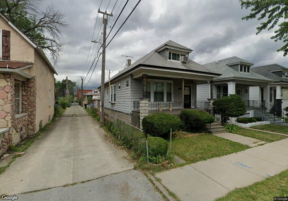
8632 S Union Ave Chicago, IL 60620
Auburn Gresham NeighborhoodEstimated Value: $112,000 - $160,000
2
Beds
1
Bath
968
Sq Ft
$144/Sq Ft
Est. Value
About This Home
This home is located at 8632 S Union Ave, Chicago, IL 60620 and is currently estimated at $139,401, approximately $144 per square foot. 8632 S Union Ave is a home located in Cook County with nearby schools including Ryder Elementary Math & Sci Spec School, Emil G. Hirsch Metropolitan High School, and Hansberry College Prep.
Ownership History
Date
Name
Owned For
Owner Type
Purchase Details
Closed on
Oct 24, 2020
Sold by
Sakkos Dino and Sakkos Spiri
Bought by
Karakaya Ceyda
Current Estimated Value
Purchase Details
Closed on
Jan 28, 2005
Sold by
Coats Scott Rosie
Bought by
Spiri Sakkos Dino and Spiri Sakkos
Home Financials for this Owner
Home Financials are based on the most recent Mortgage that was taken out on this home.
Original Mortgage
$109,250
Interest Rate
5.83%
Mortgage Type
Unknown
Purchase Details
Closed on
Aug 1, 1999
Sold by
Pate Mary Sidney
Bought by
Scott Mickey and Coats Scott Rosie
Home Financials for this Owner
Home Financials are based on the most recent Mortgage that was taken out on this home.
Original Mortgage
$80,750
Interest Rate
7.68%
Create a Home Valuation Report for This Property
The Home Valuation Report is an in-depth analysis detailing your home's value as well as a comparison with similar homes in the area
Home Values in the Area
Average Home Value in this Area
Purchase History
| Date | Buyer | Sale Price | Title Company |
|---|---|---|---|
| Karakaya Ceyda | $75,000 | Chicago Title | |
| Spiri Sakkos Dino | $115,000 | Git | |
| Scott Mickey | $85,000 | -- |
Source: Public Records
Mortgage History
| Date | Status | Borrower | Loan Amount |
|---|---|---|---|
| Previous Owner | Spiri Sakkos Dino | $109,250 | |
| Previous Owner | Scott Mickey | $80,750 |
Source: Public Records
Tax History Compared to Growth
Tax History
| Year | Tax Paid | Tax Assessment Tax Assessment Total Assessment is a certain percentage of the fair market value that is determined by local assessors to be the total taxable value of land and additions on the property. | Land | Improvement |
|---|---|---|---|---|
| 2024 | $1,793 | $9,501 | $3,563 | $5,938 |
| 2023 | $1,748 | $8,501 | $2,813 | $5,688 |
| 2022 | $1,748 | $8,501 | $2,813 | $5,688 |
| 2021 | $1,709 | $8,499 | $2,812 | $5,687 |
| 2020 | $2,244 | $10,075 | $2,812 | $7,263 |
| 2019 | $2,225 | $11,072 | $2,812 | $8,260 |
| 2018 | $2,187 | $11,072 | $2,812 | $8,260 |
| 2017 | $1,908 | $8,863 | $2,437 | $6,426 |
| 2016 | $1,775 | $8,863 | $2,437 | $6,426 |
| 2015 | $1,624 | $8,863 | $2,437 | $6,426 |
| 2014 | $1,618 | $8,720 | $2,250 | $6,470 |
| 2013 | $1,586 | $8,720 | $2,250 | $6,470 |
Source: Public Records
Map
Nearby Homes
- 8636 S Union Ave
- 8629 S Union Ave
- 8616 S Emerald Ave
- 738 W 87th St
- 9001-9003 S Wallace St
- 8805 S Union Ave
- 8663 S Vincennes Ave
- 8447 S Gilbert Ct
- 8807 S Lowe Ave
- 8009 S Halsted St
- 8823 S Wallace St
- 8853 S Halsted St
- 8852 S Wallace St
- 8855 S Wallace St
- 8558 S Sangamon St
- 8546 S Sangamon St
- 8513 S Sangamon St
- 8913 S Lowe Ave
- 923 W 85th St
- 8926 S Lowe Ave
- 8630 S Union Ave
- 8626 S Union Ave
- 8624 S Union Ave
- 706 W 87th St
- 8620 S Union Ave
- 710 W 87th St
- 710 W 87th St
- 716 W 87th St
- 700 W 87th St
- 8633 S Emerald Ave
- 8629 S Emerald Ave
- 8618 S Union Ave
- 720 W 87th St
- 8637 S Union Ave
- 8623 S Emerald Ave
- 8616 S Union Ave
- 8633 S Union Ave
- 8619 S Emerald Ave
- 8625 S Union Ave