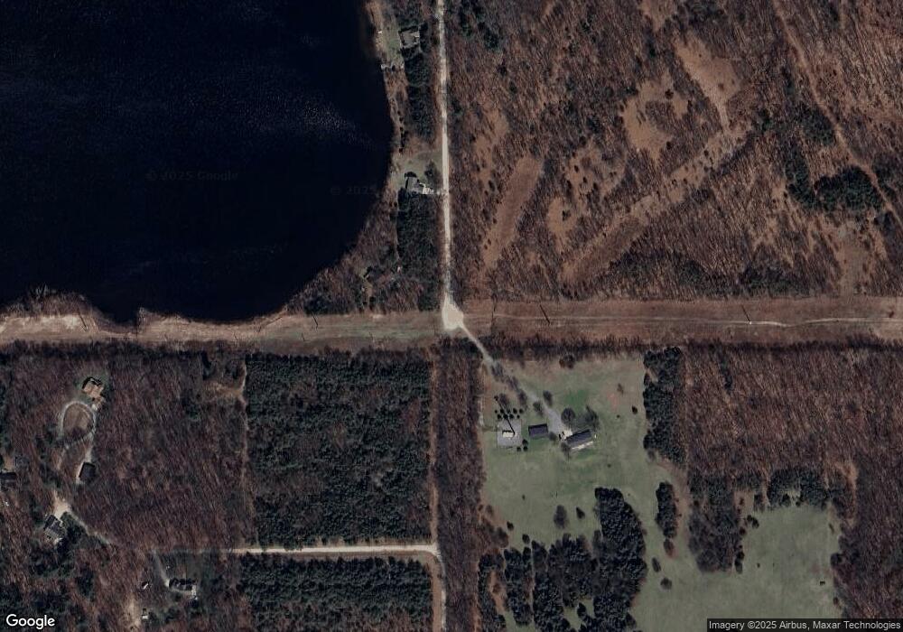
8633 Ranney Rd Belding, MI 48809
Estimated Value: $318,320 - $356,000
2
Beds
1
Bath
1,324
Sq Ft
$256/Sq Ft
Est. Value
About This Home
This home is located at 8633 Ranney Rd, Belding, MI 48809 and is currently estimated at $338,580, approximately $255 per square foot. 8633 Ranney Rd is a home located in Ionia County with nearby schools including Ellis Elementary School, Woodview Elementary School, and Belding Middle School.
Ownership History
Date
Name
Owned For
Owner Type
Purchase Details
Closed on
Sep 7, 2018
Sold by
Bagladi Michael and Bagladi Karen
Bought by
Pachulski Felix W and Pachulski Sheila J
Current Estimated Value
Home Financials for this Owner
Home Financials are based on the most recent Mortgage that was taken out on this home.
Original Mortgage
$199,200
Outstanding Balance
$173,356
Interest Rate
4.5%
Mortgage Type
Purchase Money Mortgage
Estimated Equity
$165,224
Purchase Details
Closed on
Jun 15, 2016
Sold by
Bryan C Higgins
Bought by
Bagladi Michael and Bagladi Karen
Home Financials for this Owner
Home Financials are based on the most recent Mortgage that was taken out on this home.
Original Mortgage
$218,500
Interest Rate
3.6%
Purchase Details
Closed on
Oct 14, 1999
Bought by
Higgins Bryan C and Higgins Becky J
Create a Home Valuation Report for This Property
The Home Valuation Report is an in-depth analysis detailing your home's value as well as a comparison with similar homes in the area
Home Values in the Area
Average Home Value in this Area
Purchase History
| Date | Buyer | Sale Price | Title Company |
|---|---|---|---|
| Pachulski Felix W | $249,000 | -- | |
| Bagladi Michael | -- | -- | |
| Higgins Bryan C | $127,800 | -- |
Source: Public Records
Mortgage History
| Date | Status | Borrower | Loan Amount |
|---|---|---|---|
| Open | Pachulski Felix W | $199,200 | |
| Previous Owner | Bagladi Michael | $218,500 | |
| Previous Owner | Bagladi Michael | -- |
Source: Public Records
Tax History Compared to Growth
Tax History
| Year | Tax Paid | Tax Assessment Tax Assessment Total Assessment is a certain percentage of the fair market value that is determined by local assessors to be the total taxable value of land and additions on the property. | Land | Improvement |
|---|---|---|---|---|
| 2025 | $3,886 | $148,900 | $7,300 | $141,600 |
| 2024 | $14 | $148,900 | $7,300 | $141,600 |
| 2023 | $1,292 | $121,100 | $5,600 | $115,500 |
| 2022 | $1,231 | $121,100 | $5,600 | $115,500 |
| 2021 | $3,435 | $114,600 | $5,600 | $109,000 |
| 2020 | $1,181 | $114,600 | $5,600 | $109,000 |
| 2019 | $755 | $108,000 | $3,700 | $104,300 |
| 2018 | $2,739 | $86,900 | $3,700 | $83,200 |
| 2017 | $933 | $86,900 | $3,700 | $83,200 |
| 2016 | $755 | $74,000 | $3,700 | $70,300 |
| 2015 | -- | $74,000 | $3,700 | $70,300 |
| 2014 | $786 | $71,400 | $6,700 | $64,700 |
Source: Public Records
Map
Nearby Homes
- 114 Vincent St
- 1305 W Ellis St
- 208 Leonard St
- 216 Leonard St
- 749 Moulton St
- 908 Moulton St
- 740 Crawford St
- 902 N York St
- 2160 W Ellis Parcel 6
- 2160 W Ellis Parcel 5
- 129 Midway St
- 2160 W Ellis Parcel 4
- 2160 W Ellis Parcel 2
- 2160 W Ellis Parcel 3
- Integrity 2060 Plan at Ellis Acres
- 7999 Sierra Dr
- 404 S Bridge St
- 322 Alderman St
- 7897 Sierra Dr
- 107 W Center St
- 9000 Ranney Rd
- 8625 Ranney Rd
- 8645 Ranney Rd
- 8519 Wildlife Trail
- 812 Thompson Ct
- 811 Thompson Ct
- 810 Thompson Ct
- 0 Ranney Rd
- 0 Ranney Rd
- Parcel B Ranney Rd
- 821 Wildlife Trail
- 804 Thompson Ct
- 806 Thompson Ct
- 0 Thompson Ct Unit LOT 1
- 809 Thompson Ct
- 812 Bradford Dr
- 808 Thompson Ct
- 807 Thompson Ct
- 810 Bradford Dr
- 815 Wildlife Trail
