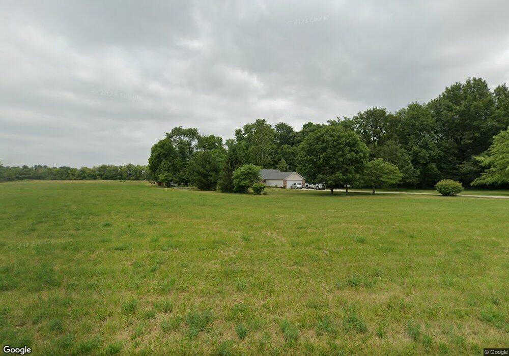
8634 Newcastle Rd Lafayette, IN 47905
Estimated Value: $411,000 - $588,343
4
Beds
1
Bath
2,596
Sq Ft
$192/Sq Ft
Est. Value
About This Home
This home is located at 8634 Newcastle Rd, Lafayette, IN 47905 and is currently estimated at $497,836, approximately $191 per square foot. 8634 Newcastle Rd is a home located in Tippecanoe County with nearby schools including James Cole Elementary School, Wainwright Middle School, and McCutcheon High School.
Ownership History
Date
Name
Owned For
Owner Type
Purchase Details
Closed on
Jun 2, 2023
Sold by
Crum Todd H and Crum Pamela J
Bought by
Todd H Crum And Pamela J Crum Joint Revocable
Current Estimated Value
Purchase Details
Closed on
Sep 12, 2001
Sold by
W H Long Enterprises Inc
Bought by
Crum Todd H and Crum Pamela J
Home Financials for this Owner
Home Financials are based on the most recent Mortgage that was taken out on this home.
Original Mortgage
$179,850
Interest Rate
6.88%
Mortgage Type
VA
Create a Home Valuation Report for This Property
The Home Valuation Report is an in-depth analysis detailing your home's value as well as a comparison with similar homes in the area
Home Values in the Area
Average Home Value in this Area
Purchase History
| Date | Buyer | Sale Price | Title Company |
|---|---|---|---|
| Todd H Crum And Pamela J Crum Joint Revocable | -- | None Listed On Document | |
| Crum Todd H | -- | -- |
Source: Public Records
Mortgage History
| Date | Status | Borrower | Loan Amount |
|---|---|---|---|
| Previous Owner | Crum Todd H | $179,850 |
Source: Public Records
Tax History Compared to Growth
Tax History
| Year | Tax Paid | Tax Assessment Tax Assessment Total Assessment is a certain percentage of the fair market value that is determined by local assessors to be the total taxable value of land and additions on the property. | Land | Improvement |
|---|---|---|---|---|
| 2024 | $3,190 | $426,300 | $62,000 | $364,300 |
| 2023 | $3,004 | $404,500 | $62,000 | $342,500 |
| 2022 | $2,926 | $358,200 | $62,000 | $296,200 |
| 2021 | $2,624 | $321,900 | $62,000 | $259,900 |
| 2020 | $2,301 | $297,800 | $62,000 | $235,800 |
| 2019 | $2,208 | $288,200 | $62,000 | $226,200 |
| 2018 | $2,062 | $275,400 | $62,000 | $213,400 |
| 2017 | $2,042 | $270,500 | $62,000 | $208,500 |
| 2016 | $2,013 | $269,500 | $62,000 | $207,500 |
| 2014 | $1,895 | $256,200 | $62,000 | $194,200 |
| 2013 | $1,962 | $252,500 | $62,000 | $190,500 |
Source: Public Records
Map
Nearby Homes
- 7916 E 700 S
- 7858 E 800 S
- 8900 Cornell Ct
- 5760 S 800 E
- 0 S 800 E Unit 202536919
- 9205 Yorktown St
- 7660 Beth Ann Ln
- 9600 E 450 S
- 10870 E State Road 38
- 7406 Combine Dr
- 7320 Combine Dr
- 7369 House St
- 3524 Collier Dr
- 3505 Goris Dr
- 3491 Goris Dr
- 3490 Goris Dr
- 4927 E 900 Rd S
- 3384 Goris Dr
- 4875 E 900 Rd S
- 8553 Valley Farm Rd
- 8631 Newcastle Rd
- 8758 Newcastle Rd
- 8451 Newcastle Rd
- 7700 Newcastle Rd
- 7250 S 900 E
- 8385 Newcastle Rd
- 8318 Newcastle Rd
- 7240 S 900 E
- 8779 E 680 St S
- 8434 Newcastle Rd
- 8430 Newcastle Rd
- 8237 Newcastle Rd
- 7546 S 900 E
- 8275 Newcastle Rd
- 8177 Newcastle Rd
- 0 E 680 S
- 8927 E 680 S
- 8925 E 680 S
- 8923 E 680 S
- 8049 Newcastle Rd