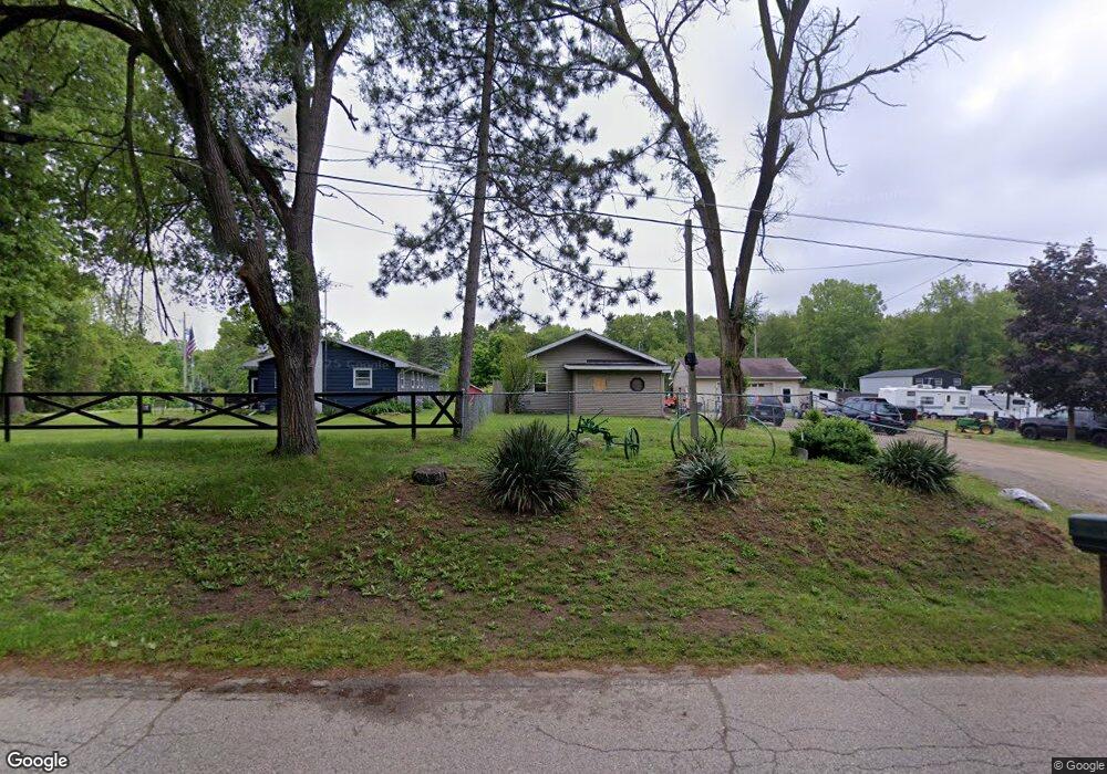
8635 Gorsline Rd Battle Creek, MI 49014
Estimated Value: $135,000 - $217,000
2
Beds
1
Bath
1,056
Sq Ft
$156/Sq Ft
Est. Value
About This Home
This home is located at 8635 Gorsline Rd, Battle Creek, MI 49014 and is currently estimated at $164,623, approximately $155 per square foot. 8635 Gorsline Rd is a home located in Calhoun County with nearby schools including Pennfield Dunlap Elementary School, Pennfield Purdy School, and Pennfield Middle School.
Ownership History
Date
Name
Owned For
Owner Type
Purchase Details
Closed on
Jan 19, 2007
Sold by
Rose Michael Ray and Rose Doris Jane
Bought by
Rose Melvin
Current Estimated Value
Create a Home Valuation Report for This Property
The Home Valuation Report is an in-depth analysis detailing your home's value as well as a comparison with similar homes in the area
Home Values in the Area
Average Home Value in this Area
Purchase History
| Date | Buyer | Sale Price | Title Company |
|---|---|---|---|
| Rose Melvin | $34 | None Listed On Document | |
| Rose Michael Ray | $20,000 | None Listed On Document | |
| Rose Melvin | $34 | None Listed On Document |
Source: Public Records
Tax History Compared to Growth
Tax History
| Year | Tax Paid | Tax Assessment Tax Assessment Total Assessment is a certain percentage of the fair market value that is determined by local assessors to be the total taxable value of land and additions on the property. | Land | Improvement |
|---|---|---|---|---|
| 2025 | $1,307 | $58,800 | $0 | $0 |
| 2024 | $595 | $50,500 | $0 | $0 |
| 2023 | $1,153 | $44,880 | $0 | $0 |
| 2022 | $540 | $40,210 | $0 | $0 |
| 2021 | $1,133 | $38,360 | $0 | $0 |
| 2020 | $1,114 | $33,620 | $0 | $0 |
| 2019 | $1,076 | $31,720 | $0 | $0 |
| 2018 | $991 | $29,430 | $3,440 | $25,990 |
| 2017 | $0 | $26,870 | $0 | $0 |
| 2016 | $0 | $26,410 | $0 | $0 |
| 2015 | -- | $27,750 | $12,445 | $15,305 |
| 2014 | -- | $24,320 | $12,445 | $11,875 |
Source: Public Records
Map
Nearby Homes
- 8671 Gorsline Rd
- 215 Pony Ave
- 1731 Capital Ave NE
- 0 Pickford Ave
- 114 Wanondoger Cir
- 0 Capital Ave NE
- 21 Bradley St
- 150 Pennbrook Trail
- 220 Pennbrook Trail
- 125 Sunset Blvd W
- 731 Roosevelt Ave E
- 110 Harriet Ln
- 955 Capital Ave NE
- 605 Westbrook Ave
- 31 Oxford St
- 52 Thorncroft Ave
- 9604 Natala Ln
- Integrity 1605 Plan at Loganwood Acres - North
- Integrity 1250 Plan at Loganwood Acres - North
- Elements 2390 Plan at Loganwood Acres - North
- 8631 Gorsline Rd
- 8631 N-Drive N
- 8659 Gorsline Rd
- 8655 Gorsline Rd
- 8671 Gorsline Rd Unit r
- 8761 Gorsline Rd
- 8761 Gorsline Rd Unit r
- 8751 Gorsline Rd
- 8566 Bellevue Rd
- 8562 Bellevue Rd
- 0 Gorsline Rd
- 8390 Bellevue Rd
- 8809 Gorsline Rd
- 8801 Gorsline Rd
- 8645 Bellevue Rd
- 8690 Bellevue Rd
- 8681 Bellevue Rd
- 8861 Gorsline Rd
- 8700 Bellevue Rd
- 8316 Bellevue Rd