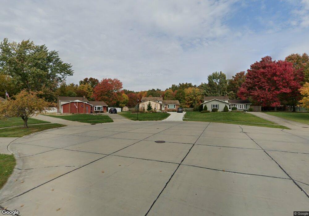
8636 Ashwood Dr Strongsville, OH 44149
Estimated Value: $303,525 - $322,000
3
Beds
2
Baths
1,896
Sq Ft
$166/Sq Ft
Est. Value
About This Home
This home is located at 8636 Ashwood Dr, Strongsville, OH 44149 and is currently estimated at $313,881, approximately $165 per square foot. 8636 Ashwood Dr is a home located in Cuyahoga County with nearby schools including Strongsville High School, St Mary School, and Sts Joseph & John Interparochial School.
Ownership History
Date
Name
Owned For
Owner Type
Purchase Details
Closed on
Aug 29, 1996
Sold by
Beck Linda L
Bought by
Adamczyk Loretta J
Current Estimated Value
Purchase Details
Closed on
Nov 14, 1989
Sold by
Collins Gene
Bought by
Beck Harry F
Purchase Details
Closed on
Oct 26, 1989
Sold by
Collins Gene and Collins Frances R
Bought by
Collins Gene
Purchase Details
Closed on
Dec 8, 1987
Sold by
Kerner Thomas E and Kerner Suzanne A
Bought by
Collins Gene and Collins Frances R
Purchase Details
Closed on
Jul 15, 1983
Sold by
Bednarz Cynthia A
Bought by
Kerner Thomas E and Kerner Suzanne A
Purchase Details
Closed on
May 25, 1983
Sold by
Cynthia A Steossner
Bought by
Bednarz Cynthia A
Purchase Details
Closed on
Sep 17, 1981
Sold by
Stoessner K F
Bought by
Cynthia A Steossner
Purchase Details
Closed on
Sep 16, 1977
Sold by
Bodnar Emery J and Bodnar Mary T
Bought by
Stoessner K F
Purchase Details
Closed on
Jan 1, 1975
Bought by
Bodnar Emery J and Bodnar Mary T
Create a Home Valuation Report for This Property
The Home Valuation Report is an in-depth analysis detailing your home's value as well as a comparison with similar homes in the area
Home Values in the Area
Average Home Value in this Area
Purchase History
| Date | Buyer | Sale Price | Title Company |
|---|---|---|---|
| Adamczyk Loretta J | $136,000 | -- | |
| Beck Harry F | $109,500 | -- | |
| Collins Gene | -- | -- | |
| Collins Gene | $95,900 | -- | |
| Kerner Thomas E | $78,000 | -- | |
| Bednarz Cynthia A | -- | -- | |
| Cynthia A Steossner | -- | -- | |
| Stoessner K F | $66,500 | -- | |
| Bodnar Emery J | -- | -- |
Source: Public Records
Tax History Compared to Growth
Tax History
| Year | Tax Paid | Tax Assessment Tax Assessment Total Assessment is a certain percentage of the fair market value that is determined by local assessors to be the total taxable value of land and additions on the property. | Land | Improvement |
|---|---|---|---|---|
| 2024 | $4,289 | $91,350 | $18,410 | $72,940 |
| 2023 | $4,660 | $74,420 | $15,580 | $58,840 |
| 2022 | $4,626 | $74,410 | $15,580 | $58,840 |
| 2021 | $4,589 | $74,410 | $15,580 | $58,840 |
| 2020 | $4,253 | $61,010 | $12,780 | $48,230 |
| 2019 | $4,128 | $174,300 | $36,500 | $137,800 |
| 2018 | $3,747 | $61,010 | $12,780 | $48,230 |
| 2017 | $3,894 | $58,700 | $12,220 | $46,480 |
| 2016 | $3,862 | $58,700 | $12,220 | $46,480 |
| 2015 | $5,771 | $58,700 | $12,220 | $46,480 |
| 2014 | $5,771 | $56,990 | $11,870 | $45,120 |
Source: Public Records
Map
Nearby Homes
- 8627 Courtland Dr
- 8902 Lincolnshire Blvd
- 8036 Fair Rd
- 84 Sprague Rd
- 740 Fair St
- 243 Jananna Dr
- 8746 Barton Dr
- 9598 Pebble Brook Ln
- 104 Whitehall Dr
- 9829 Plum Brook Ln
- 458 Sprague Rd
- 148 Meadow Cir
- 9384 N Marks Rd
- 22300 Rock Creek Cir
- 0 Priem Rd
- 23004 Chandlers Ln Unit 109
- 10353 Oak Branch Trail
- 647 Tampico Ct Unit 7
- 23003 Chandlers Ln Unit 230
- 10001 N Marks Rd
- 8634 Ashwood Dr
- 8640 Ashwood Dr
- 8644 Ashwood Dr
- 22200 Cricket Ln
- 8648 Ashwood Dr
- 8396 Fair Rd
- 21998 Cricket Ln
- 8629 Ashwood Dr
- 8652 Ashwood Dr
- 21994 Cricket Ln
- 8631 Ashwood Dr
- 8656 Ashwood Dr
- 21995 Cricket Ln
- 21990 Cricket Ln
- 8629 Priem Rd
- 8671 Priem Rd
- 8635 Ashwood Dr
- 8589 Priem Rd
- 8713 Priem Rd
- 8549 Priem Rd