8636 Razor Creek Dr Shepherd, MT 59079
Estimated Value: $424,022 - $701,000
4
Beds
2
Baths
3,084
Sq Ft
$178/Sq Ft
Est. Value
About This Home
This home is located at 8636 Razor Creek Dr, Shepherd, MT 59079 and is currently estimated at $548,256, approximately $177 per square foot. 8636 Razor Creek Dr is a home located in Yellowstone County with nearby schools including Shepherd Elementary School, Shepherd Middle School, and Shepherd High School.
Ownership History
Date
Name
Owned For
Owner Type
Purchase Details
Closed on
Oct 17, 2022
Sold by
Martinson Bryan L and Martinson Leah K
Bought by
Cederberg Levi
Current Estimated Value
Home Financials for this Owner
Home Financials are based on the most recent Mortgage that was taken out on this home.
Original Mortgage
$379,905
Outstanding Balance
$363,637
Interest Rate
5.66%
Mortgage Type
New Conventional
Estimated Equity
$184,619
Purchase Details
Closed on
Jul 31, 2008
Sold by
Dotson Chris A and Dotson Karen M
Bought by
Martinson Bryan L and Martinson Leah K
Home Financials for this Owner
Home Financials are based on the most recent Mortgage that was taken out on this home.
Original Mortgage
$196,721
Interest Rate
6.41%
Mortgage Type
FHA
Create a Home Valuation Report for This Property
The Home Valuation Report is an in-depth analysis detailing your home's value as well as a comparison with similar homes in the area
Home Values in the Area
Average Home Value in this Area
Purchase History
| Date | Buyer | Sale Price | Title Company |
|---|---|---|---|
| Cederberg Levi | -- | First Montana Title Company | |
| Martinson Bryan L | -- | St |
Source: Public Records
Mortgage History
| Date | Status | Borrower | Loan Amount |
|---|---|---|---|
| Open | Cederberg Levi | $379,905 | |
| Previous Owner | Martinson Bryan L | $196,721 |
Source: Public Records
Tax History Compared to Growth
Tax History
| Year | Tax Paid | Tax Assessment Tax Assessment Total Assessment is a certain percentage of the fair market value that is determined by local assessors to be the total taxable value of land and additions on the property. | Land | Improvement |
|---|---|---|---|---|
| 2025 | $3,120 | $408,900 | $46,312 | $362,588 |
| 2024 | $3,120 | $361,800 | $40,188 | $321,612 |
| 2023 | $3,174 | $361,800 | $40,188 | $321,612 |
| 2022 | $2,200 | $234,000 | $0 | $0 |
| 2021 | $2,317 | $234,000 | $0 | $0 |
| 2020 | $2,416 | $236,400 | $0 | $0 |
| 2019 | $2,006 | $236,400 | $0 | $0 |
| 2018 | $2,113 | $235,000 | $0 | $0 |
| 2017 | $1,881 | $235,000 | $0 | $0 |
| 2016 | $2,154 | $255,900 | $0 | $0 |
| 2015 | $2,135 | $255,900 | $0 | $0 |
| 2014 | $1,660 | $105,947 | $0 | $0 |
Source: Public Records
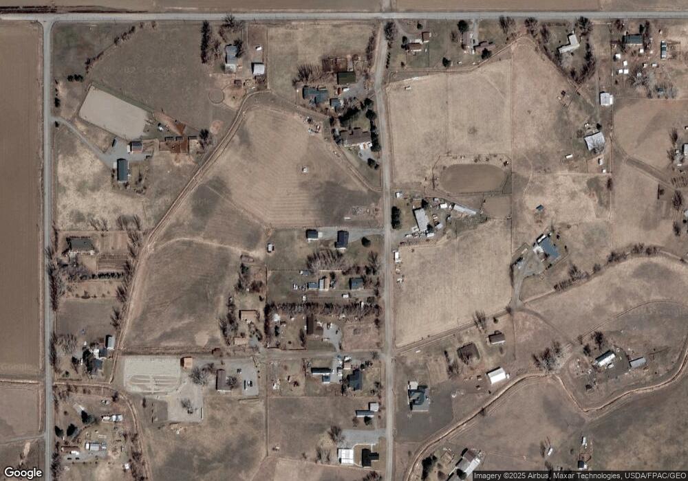
Map
Nearby Homes
- 6835 Eagle Bend Blvd
- 6732 Pinto Dr
- 7500 Eagle Bend Blvd
- 8700 Fox Run
- 5652 Bengston Rd
- 8020 Wade St
- 9705 Shepherd Rd
- 5358 Yeoman Rd
- 7133 Mustang Rd
- 10550 Reno Ln
- 4935 Lewies Way
- 10052 Floating Island Way
- 4820 Maribrooke Rd
- 5840,5850,5904 Lunder Ln
- TBD 12 Mile Rd
- 2573 Road 8
- 2573 N 8th Rd
- 0 Great Northern Unit 354449
- 3863 Glenn Edward Rd
- 7306 Kendra Lynn Dr
- 8624 Razor Creek Dr
- 8624 Razor Creek Dr
- 8641 Razor Creek Dr
- 6735 Bret Ln W
- 8716 Razor Creek Dr
- 6707 Bret Ln W
- 8588 Razor Creek Dr
- 8730 Razor Creek Dr
- 6802 Bret Ln E
- 6743 Razor Cir
- 6838 Bret Ln E
- 6708 Bret Ln W
- TBD Razor Cir
- 6745 Razor Cir
- 6741 Razor Cir
- 0 Razor Cir
- 6910 Bret Ln E
- 6810 Church Rd
- 6742 Razor Cir
- 6828 Church Rd