8637 Augusta Rd Moss Point, MS 39562
Estimated Value: $142,000 - $225,803
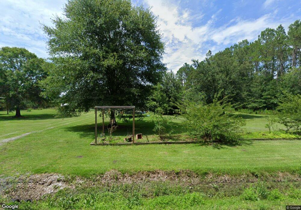
About This Home
This home is located at 8637 Augusta Rd, Moss Point, MS 39562 and is currently estimated at $185,268, approximately $115 per square foot. 8637 Augusta Rd is a home located in Jackson County with nearby schools including East Central Lower Elementary School, East Central Upper Elementary School, and East Central Middle School.
Ownership History
We collect this data history from publicly available records. To have your information removed, we recommend requesting removal directly through your county’s website.
Purchase Details
Purchase Details
Purchase History
We collect this data history from publicly available records. To have your information removed, we recommend requesting removal directly through your county’s website.
| Date | Buyer | Sale Price | Title Company |
|---|---|---|---|
| -- | None Listed On Document | ||
| -- | None Listed On Document | ||
| -- | None Listed On Document | ||
| -- | None Listed On Document |
Tax History
We collect this data history from publicly available records. To have your information removed, we recommend requesting removal directly through your county’s website.
| Year | Tax Paid | Tax Assessment Tax Assessment Total Assessment is a certain percentage of the fair market value that is determined by local assessors to be the total taxable value of land and additions on the property. | Land | Improvement |
|---|---|---|---|---|
| 2025 | $1,081 | $11,624 | $3,083 | $8,541 |
| 2024 | $1,081 | $16,786 | $4,502 | $12,284 |
| 2023 | $2,015 | $16,786 | $4,502 | $12,284 |
| 2022 | $1,005 | $11,190 | $3,001 | $8,189 |
| 2021 | $1,011 | $11,247 | $3,001 | $8,246 |
| 2020 | $970 | $10,513 | $2,728 | $7,785 |
| 2019 | $956 | $10,513 | $2,728 | $7,785 |
| 2018 | $616 | $7,524 | $2,728 | $4,796 |
| 2017 | $632 | $7,524 | $2,728 | $4,796 |
| 2016 | $595 | $7,524 | $2,728 | $4,796 |
| 2015 | $571 | $71,800 | $27,280 | $44,520 |
| 2014 | $570 | $7,404 | $2,728 | $4,676 |
| 2013 | $537 | $7,314 | $2,728 | $4,586 |
Map
- 13915 Ann Rd
- 14004 Ann Rd
- 14015 Lily Orchard Rd
- 14208 Lily Orchard Rd
- 13111 Maida Hurd Rd
- 0 Ms-613 Hwy Unit 4107607
- 0 Ms-613 Hwy Unit 4107612
- 0 Perry St
- 13704 Coleman St
- 6312 Bond Hill Rd
- 0 Nhn Forts Lake Rd
- 0 Forts Lake Rd Unit 3365580
- 0 Forts Lake Rd Unit 4145179
- 0 Forts Lake Rd Unit 3365577
- 0 Greenfields Rd Unit 4149793
- 12205 Deer Cir
- 0 Constitution
- 0 Rayford Shumock Rd Unit 24406728
- 0 Rayford Shumock Rd Unit 4121875
- 11804 Ormond Rd
- 8833 Augusta Rd
- 8845 Augusta Rd
- 1.64 Acres Augusta Rd
- 8800 Augusta Rd
- 13708 Ann Rd
- 8636 Augusta Rd
- 8851 Augusta Rd
- 8549 Augusta Rd
- 8844 Augusta Rd
- 8609 Augusta Rd
- 13900 Ann Rd
- 8900 Augusta Rd
- 8908 Augusta Rd
- 8536 Augusta Rd
- 000 Augusta Dr
- 0 Ann St
- 0 Augusta Rd
- 8927 Prairiebrook Rd
- 9000 Augusta Rd
- 9001 Prairiebrook Rd
Ask me questions while you tour the home.