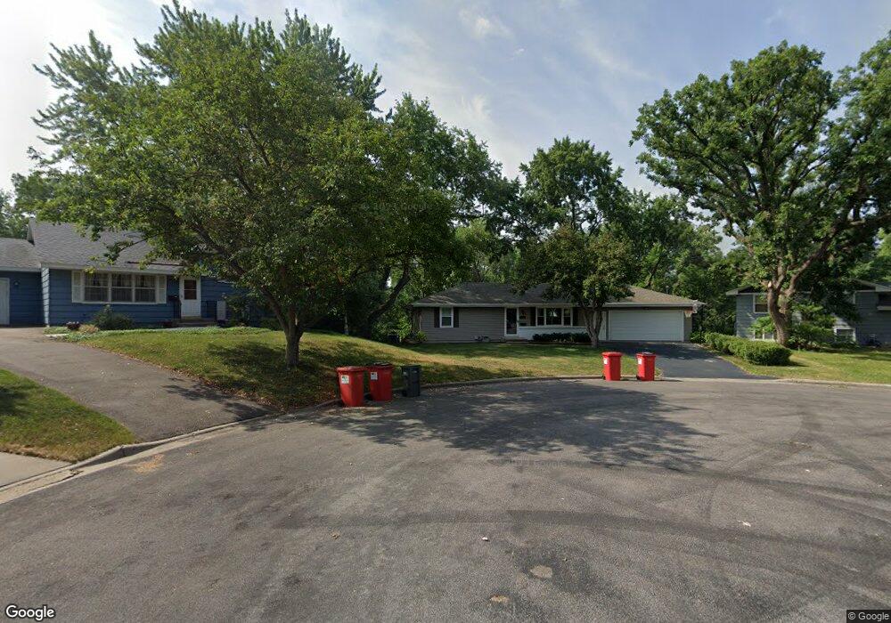
8637 Poplar Bridge Curve Bloomington, MN 55437
West Bloomington NeighborhoodEstimated Value: $373,000 - $423,000
3
Beds
2
Baths
1,035
Sq Ft
$382/Sq Ft
Est. Value
About This Home
This home is located at 8637 Poplar Bridge Curve, Bloomington, MN 55437 and is currently estimated at $395,433, approximately $382 per square foot. 8637 Poplar Bridge Curve is a home located in Hennepin County with nearby schools including Poplar Bridge Elementary School, Oak Grove Middle School, and Jefferson Senior High School.
Ownership History
Date
Name
Owned For
Owner Type
Purchase Details
Closed on
Sep 3, 2015
Sold by
Swenson Travis John
Bought by
Swenson Gina Marie
Current Estimated Value
Purchase Details
Closed on
Dec 15, 2004
Sold by
Loken Kurtis D and Barney Loken Brenda A
Bought by
Swenson Gina M and Swenson Travis T
Purchase Details
Closed on
Oct 15, 1999
Sold by
Young Glen W and Young Catherine A
Bought by
Loken Kurtis D and Barney Loken Brenda Ann
Create a Home Valuation Report for This Property
The Home Valuation Report is an in-depth analysis detailing your home's value as well as a comparison with similar homes in the area
Home Values in the Area
Average Home Value in this Area
Purchase History
| Date | Buyer | Sale Price | Title Company |
|---|---|---|---|
| Swenson Gina Marie | -- | Attorney | |
| Swenson Gina M | $239,900 | -- | |
| Loken Kurtis D | $176,500 | -- |
Source: Public Records
Tax History Compared to Growth
Tax History
| Year | Tax Paid | Tax Assessment Tax Assessment Total Assessment is a certain percentage of the fair market value that is determined by local assessors to be the total taxable value of land and additions on the property. | Land | Improvement |
|---|---|---|---|---|
| 2024 | $4,541 | $361,200 | $140,900 | $220,300 |
| 2023 | $4,460 | $372,900 | $152,600 | $220,300 |
| 2022 | $4,270 | $371,600 | $155,600 | $216,000 |
| 2021 | $3,822 | $338,200 | $149,000 | $189,200 |
| 2020 | $3,910 | $308,400 | $142,100 | $166,300 |
| 2019 | $3,310 | $306,700 | $142,100 | $164,600 |
| 2018 | $3,302 | $259,600 | $138,100 | $121,500 |
| 2017 | $3,096 | $240,500 | $128,400 | $112,100 |
| 2016 | $3,158 | $233,400 | $121,400 | $112,000 |
| 2015 | $3,028 | $217,300 | $116,800 | $100,500 |
| 2014 | -- | $203,600 | $113,200 | $90,400 |
Source: Public Records
Map
Nearby Homes
- 4533 W 85th St
- 8441 Irwin Rd Unit 202
- 8441 Irwin Rd Unit 110
- 4617 Southmore Dr
- 8549 Irwin Rd Unit 239
- 9018 Kell Cir
- 4109 W 84th St
- 3816 W 84th St
- 8516 Zenith Cir S
- 8408 Rich Ave S
- 3770 Towndale Dr
- 4824 W 82nd St
- 5300 Mount Normandale Dr
- 8140 Abbott Ave S
- 9116 Vincent Ave S
- 8225 Xerxes Ave S
- 8141 York Ave S
- 8019 Xerxes Ave S Unit 202
- 8117 Xerxes Cir
- 8549 Russell Ave S
- 8639 Poplar Bridge Curve
- 8635 Poplar Bridge Curve
- 8633 Poplar Bridge Curve
- 8641 Poplar Bridge Curve
- 8631 Poplar Bridge Curve
- 8643 Poplar Bridge Curve
- 4316 W 89th St
- 8717 Morris Rd
- 8629 Poplar Bridge Curve
- 8709 Morris Rd
- 8630 Poplar Bridge Curve
- 4400 W 89th St
- 4408 W 89th St
- 8701 Morris Rd
- 8725 Morris Rd
- 8640 Poplar Bridge Curve
- 8626 Poplar Bridge Curve
- 4308 W 89th St
- 4416 W 89th St
- 8627 Poplar Bridge Curve