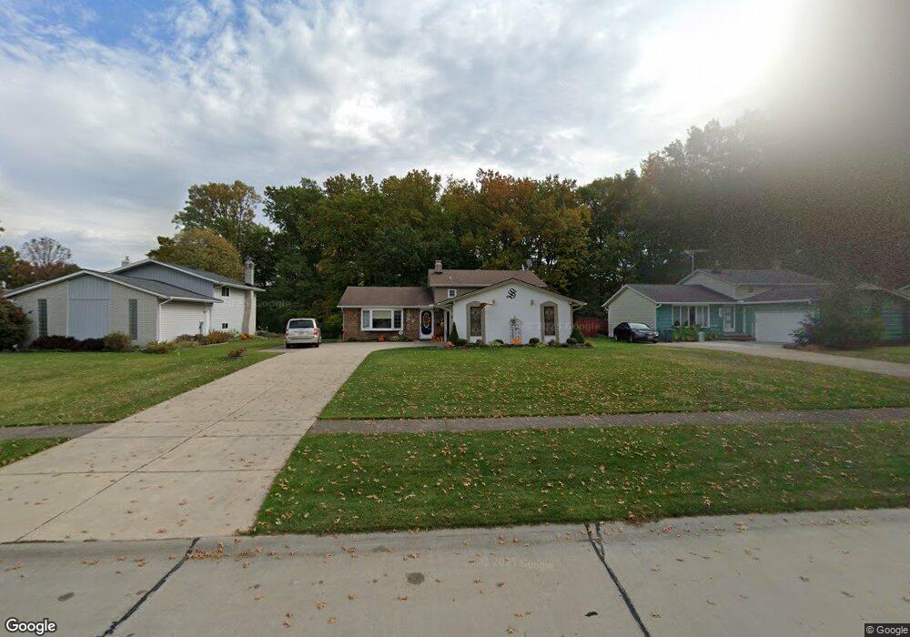
8639 Ashwood Dr Strongsville, OH 44149
Estimated Value: $313,406 - $335,000
3
Beds
2
Baths
1,984
Sq Ft
$163/Sq Ft
Est. Value
About This Home
This home is located at 8639 Ashwood Dr, Strongsville, OH 44149 and is currently estimated at $323,852, approximately $163 per square foot. 8639 Ashwood Dr is a home located in Cuyahoga County with nearby schools including Strongsville High School, Sts Joseph & John Interparochial School, and St Mary Of The Falls School.
Ownership History
Date
Name
Owned For
Owner Type
Purchase Details
Closed on
Apr 12, 1985
Sold by
Susan K Fenner
Bought by
Stacho Judy L
Current Estimated Value
Purchase Details
Closed on
Jan 6, 1983
Sold by
Fenner Donald R
Bought by
Susan K Fenner
Purchase Details
Closed on
Aug 18, 1976
Sold by
Powers Powers D D and Powers June
Bought by
Fenner Donald R
Purchase Details
Closed on
Jan 1, 1975
Bought by
Powers Powers D and Powers June
Create a Home Valuation Report for This Property
The Home Valuation Report is an in-depth analysis detailing your home's value as well as a comparison with similar homes in the area
Home Values in the Area
Average Home Value in this Area
Purchase History
| Date | Buyer | Sale Price | Title Company |
|---|---|---|---|
| Stacho Judy L | $73,900 | -- | |
| Susan K Fenner | -- | -- | |
| Fenner Donald R | $59,500 | -- | |
| Powers Powers D | -- | -- |
Source: Public Records
Tax History Compared to Growth
Tax History
| Year | Tax Paid | Tax Assessment Tax Assessment Total Assessment is a certain percentage of the fair market value that is determined by local assessors to be the total taxable value of land and additions on the property. | Land | Improvement |
|---|---|---|---|---|
| 2024 | $3,808 | $90,895 | $20,440 | $70,455 |
| 2023 | $4,009 | $73,190 | $17,290 | $55,900 |
| 2022 | $4,006 | $73,190 | $17,290 | $55,900 |
| 2021 | $3,974 | $73,190 | $17,290 | $55,900 |
| 2020 | $3,573 | $59,990 | $14,180 | $45,820 |
| 2019 | $3,468 | $171,400 | $40,500 | $130,900 |
| 2018 | $3,147 | $59,990 | $14,180 | $45,820 |
| 2017 | $3,769 | $56,810 | $13,580 | $43,230 |
| 2016 | $3,680 | $55,930 | $13,580 | $42,350 |
| 2015 | $3,623 | $55,930 | $13,580 | $42,350 |
| 2014 | $3,623 | $54,290 | $13,200 | $41,090 |
Source: Public Records
Map
Nearby Homes
- 8627 Courtland Dr
- 8902 Lincolnshire Blvd
- 8036 Fair Rd
- 84 Sprague Rd
- 740 Fair St
- 9829 Plum Brook Ln
- 8746 Barton Dr
- 9598 Pebble Brook Ln
- 243 Jananna Dr
- 104 Whitehall Dr
- 22300 Rock Creek Cir
- 458 Sprague Rd
- 0 Priem Rd
- 148 Meadow Cir
- 9384 N Marks Rd
- 10353 Oak Branch Trail
- 21355 Hickory Branch Trail
- 10001 N Marks Rd
- 23004 Chandlers Ln Unit 109
- 21176 Hickory Branch Trail
- 8635 Ashwood Dr
- 8643 Ashwood Dr
- 8647 Ashwood Dr
- 8631 Ashwood Dr
- 21995 Cricket Ln
- 8651 Ashwood Dr
- 8629 Ashwood Dr
- 8650 Courtland Dr
- 21991 Cricket Ln
- 8646 Courtland Dr
- 8658 Courtland Dr
- 8660 Ashwood Dr
- 8656 Ashwood Dr
- 8655 Ashwood Dr
- 8666 Ashwood Dr
- 8652 Ashwood Dr
- 21987 Cricket Ln
- 8664 Courtland Dr
- 8668 Ashwood Dr
- 8642 Courtland Dr