Estimated Value: $287,000 - $365,000
4
Beds
3
Baths
2,184
Sq Ft
$153/Sq Ft
Est. Value
About This Home
This home is located at 864 Creston Dr, Byram, MS 39272 and is currently estimated at $333,338, approximately $152 per square foot. 864 Creston Dr is a home with nearby schools including Gary Road Elementary School, Gary Road Intermediate School, and Byram Middle School.
Ownership History
Date
Name
Owned For
Owner Type
Purchase Details
Closed on
Oct 25, 2021
Sold by
Vintage Home Builders Inc
Bought by
Turner Lanitra S and Sims Derrick B
Current Estimated Value
Home Financials for this Owner
Home Financials are based on the most recent Mortgage that was taken out on this home.
Original Mortgage
$277,777
Outstanding Balance
$253,600
Interest Rate
2.88%
Mortgage Type
Purchase Money Mortgage
Estimated Equity
$79,738
Create a Home Valuation Report for This Property
The Home Valuation Report is an in-depth analysis detailing your home's value as well as a comparison with similar homes in the area
Home Values in the Area
Average Home Value in this Area
Purchase History
| Date | Buyer | Sale Price | Title Company |
|---|---|---|---|
| Turner Lanitra S | -- | None Available |
Source: Public Records
Mortgage History
| Date | Status | Borrower | Loan Amount |
|---|---|---|---|
| Open | Turner Lanitra S | $277,777 |
Source: Public Records
Tax History
| Year | Tax Paid | Tax Assessment Tax Assessment Total Assessment is a certain percentage of the fair market value that is determined by local assessors to be the total taxable value of land and additions on the property. | Land | Improvement |
|---|---|---|---|---|
| 2025 | $5,048 | $23,376 | $3,000 | $20,376 |
| 2024 | $5,048 | $34,184 | $4,500 | $29,684 |
| 2023 | $5,048 | $34,184 | $4,500 | $29,684 |
| 2022 | $5,259 | $34,184 | $4,500 | $29,684 |
| 2021 | $342 | $2,250 | $2,250 | $0 |
| 2020 | $337 | $2,250 | $2,250 | $0 |
| 2019 | $335 | $2,250 | $2,250 | $0 |
| 2018 | $335 | $2,250 | $2,250 | $0 |
| 2017 | $329 | $2,250 | $2,250 | $0 |
| 2016 | $329 | $2,250 | $2,250 | $0 |
| 2015 | $329 | $2,250 | $2,250 | $0 |
| 2014 | $325 | $2,250 | $2,250 | $0 |
Source: Public Records
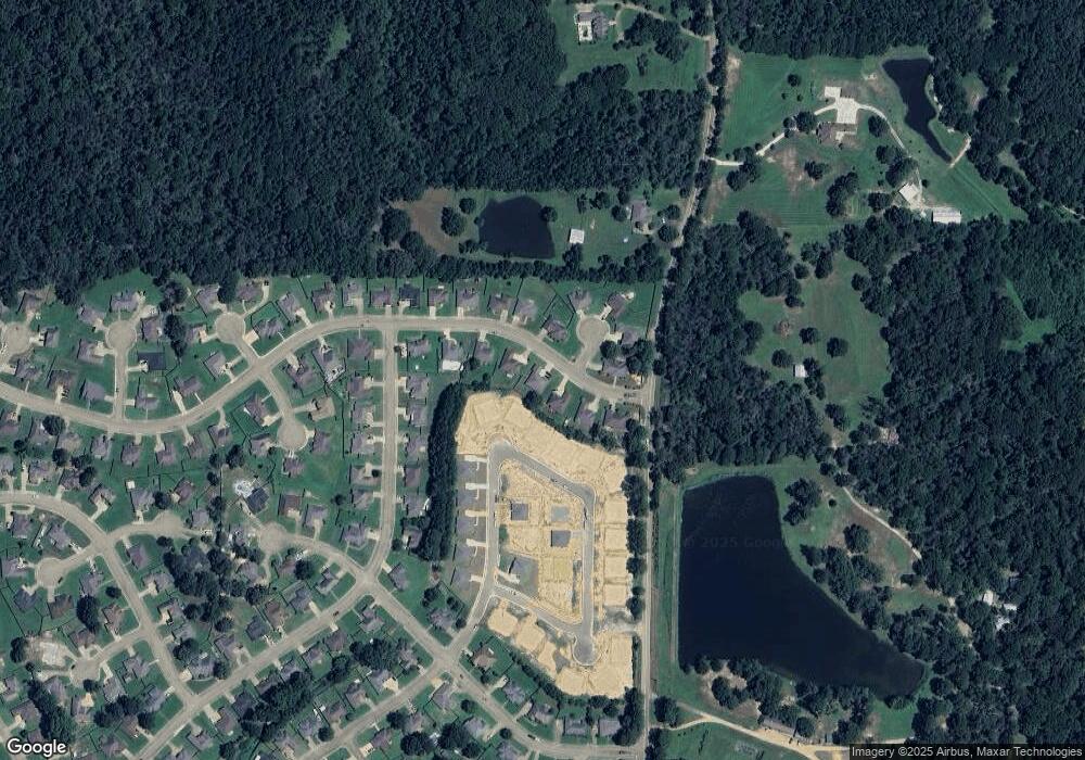
Map
Nearby Homes
- 260 Raulston Dr
- 256 Raulston Dr
- 252 Raulston Dr
- 244 Raulston Dr
- 224 Raulston Dr
- 220 Raulston Dr
- 217 Raulston Dr
- 0000 Henderson Rd
- 4299 Henderson Rd
- 807 Meadow Way Cove
- 702 Meadow View Cove
- A1 Meadow Dr
- 0 Meadow Dr Unit 4124531
- 0 Henderson Rd Unit 4126215
- 0 Shady Brook Cove Unit 4082616
- 316 Southhaven Dr
- 73 Dianne Cove
- 724 Forest Woods Dr
- 108 Forest Lake Dr
- 737 Forest Woods Dr Unit 48
- 508 Huntington Dr
- 504 Huntington Dr
- 500 Huntington Dr
- 505 Huntington Dr
- 509 Huntington Dr
- 517 Huntington Dr
- 513 Huntington Dr
- 512 Huntington Dr
- 501 Huntington Dr
- 409 Kingston Cove
- 304 Barrington Cove
- 516 Huntington Dr
- 405 Kingston Cove
- 495 Huntington Dr
- 408 Kingston Cove
- 300 Barrington Cove
- 214 Barrington Dr
- 404 Kingston Cove
- 301 Barrington Cove
- 848 Creston Dr
Your Personal Tour Guide
Ask me questions while you tour the home.