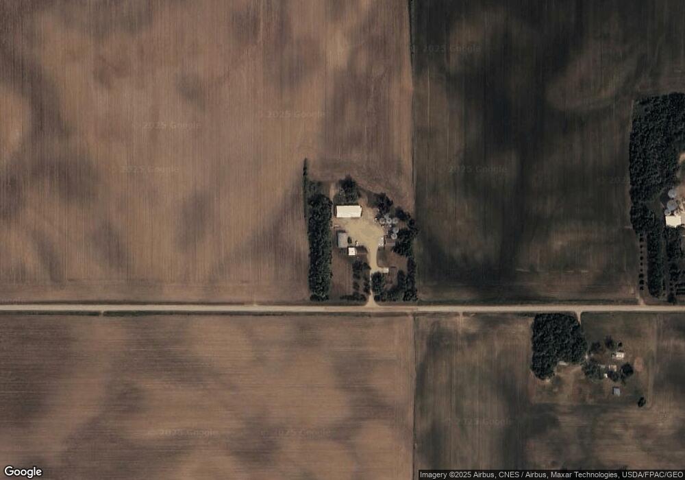
86464 190th St Albert Lea, MN 56007
Estimated Value: $357,000 - $730,079
3
Beds
5
Baths
2,036
Sq Ft
$267/Sq Ft
Est. Value
About This Home
This home is located at 86464 190th St, Albert Lea, MN 56007 and is currently estimated at $543,540, approximately $266 per square foot. 86464 190th St is a home located in Freeborn County with nearby schools including Banfield Elementary School, Ellis Middle School, and I.J. Holton Intermediate School.
Create a Home Valuation Report for This Property
The Home Valuation Report is an in-depth analysis detailing your home's value as well as a comparison with similar homes in the area
Home Values in the Area
Average Home Value in this Area
Tax History Compared to Growth
Tax History
| Year | Tax Paid | Tax Assessment Tax Assessment Total Assessment is a certain percentage of the fair market value that is determined by local assessors to be the total taxable value of land and additions on the property. | Land | Improvement |
|---|---|---|---|---|
| 2025 | $3,676 | $700,000 | $373,500 | $326,500 |
| 2024 | $3,308 | $694,800 | $383,400 | $311,400 |
| 2023 | $3,378 | $640,600 | $370,000 | $270,600 |
| 2022 | $3,350 | $580,200 | $296,600 | $283,600 |
| 2021 | $3,386 | $490,800 | $248,300 | $242,500 |
| 2020 | $3,262 | $482,900 | $249,500 | $233,400 |
| 2019 | $3,008 | $482,900 | $249,500 | $233,400 |
| 2018 | $2,644 | $0 | $0 | $0 |
| 2016 | $2,462 | $0 | $0 | $0 |
| 2015 | $2,274 | $0 | $0 | $0 |
| 2014 | $2,398 | $0 | $0 | $0 |
| 2012 | $2,492 | $0 | $0 | $0 |
Source: Public Records
Map
Nearby Homes
- 86571 County Road 46
- TBD 850th Ave
- 303 County Road 13
- 102 W Main St
- 401 Noland Ave
- 86389 245th St
- TBD 902 Avenue
- 80880 County Road 46
- 23520 902nd Ave
- 1706 31st St SW
- 15913 810th Ave
- 3007 15th Ave SW
- 650 33rd St NW
- 1301 28th St SW
- 1007 28th St SW
- 1703D Carriage Home Dr SW
- 707 26th St SW
- 405 27th Dr NW
- 602 27th Dr NW
- 403 27th Dr NW