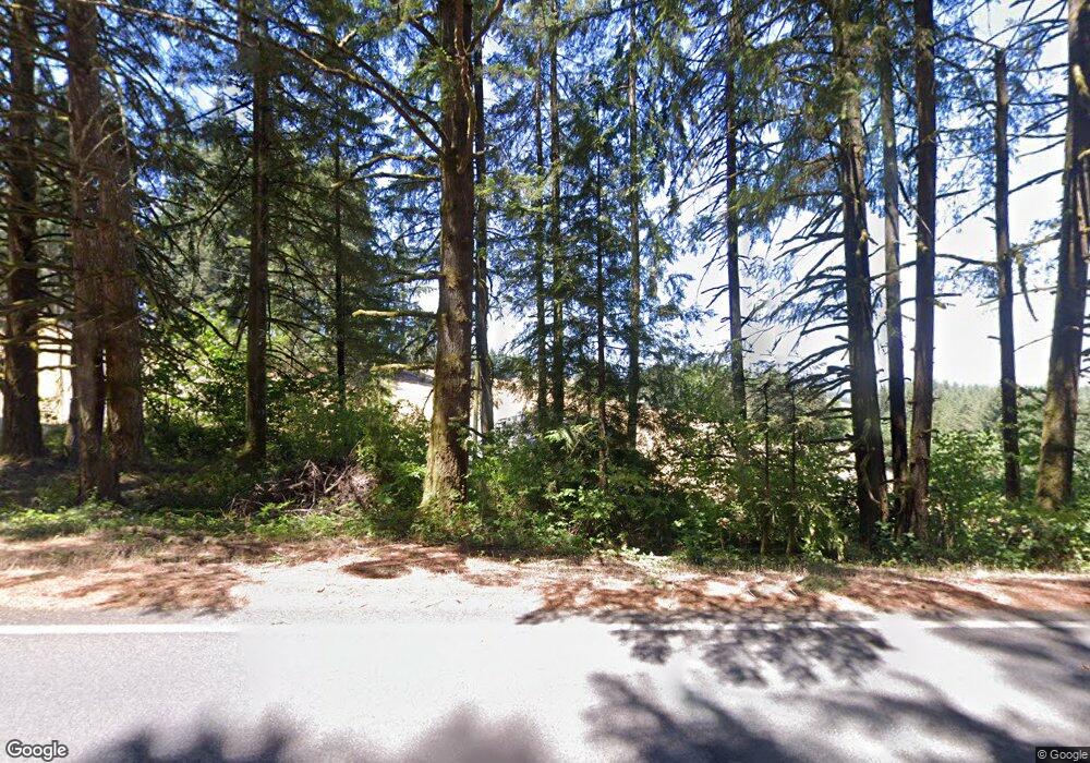
86466 Central Rd Eugene, OR 97402
Estimated Value: $531,000 - $689,000
4
Beds
3
Baths
2,464
Sq Ft
$254/Sq Ft
Est. Value
About This Home
This home is located at 86466 Central Rd, Eugene, OR 97402 and is currently estimated at $624,984, approximately $253 per square foot. 86466 Central Rd is a home located in Lane County with nearby schools including Applegate Elementary School and Crow Middle/High School.
Ownership History
Date
Name
Owned For
Owner Type
Purchase Details
Closed on
Dec 14, 2012
Sold by
Holmes Suzanne
Bought by
Parker Colt and Parker Jenna R
Current Estimated Value
Home Financials for this Owner
Home Financials are based on the most recent Mortgage that was taken out on this home.
Original Mortgage
$216,836
Outstanding Balance
$149,696
Interest Rate
3.37%
Mortgage Type
New Conventional
Estimated Equity
$475,288
Purchase Details
Closed on
Oct 31, 2005
Sold by
Carter Roy Allan
Bought by
Holmes Suzanne
Home Financials for this Owner
Home Financials are based on the most recent Mortgage that was taken out on this home.
Original Mortgage
$200,000
Interest Rate
5.3%
Mortgage Type
Fannie Mae Freddie Mac
Create a Home Valuation Report for This Property
The Home Valuation Report is an in-depth analysis detailing your home's value as well as a comparison with similar homes in the area
Home Values in the Area
Average Home Value in this Area
Purchase History
| Date | Buyer | Sale Price | Title Company |
|---|---|---|---|
| Parker Colt | $212,500 | Cascade Title Company | |
| Holmes Suzanne | $250,000 | Cascade Title Co |
Source: Public Records
Mortgage History
| Date | Status | Borrower | Loan Amount |
|---|---|---|---|
| Open | Parker Colt | $216,836 | |
| Previous Owner | Holmes Suzanne | $200,000 |
Source: Public Records
Tax History Compared to Growth
Tax History
| Year | Tax Paid | Tax Assessment Tax Assessment Total Assessment is a certain percentage of the fair market value that is determined by local assessors to be the total taxable value of land and additions on the property. | Land | Improvement |
|---|---|---|---|---|
| 2025 | $3,137 | $238,689 | -- | -- |
| 2024 | $3,037 | $231,737 | -- | -- |
| 2023 | $3,037 | $224,988 | $0 | $0 |
| 2022 | $2,863 | $218,435 | $0 | $0 |
| 2021 | $2,724 | $212,073 | $0 | $0 |
| 2020 | $2,614 | $205,897 | $0 | $0 |
| 2019 | $2,523 | $199,900 | $0 | $0 |
| 2018 | $2,452 | $188,425 | $0 | $0 |
| 2017 | $2,285 | $188,425 | $0 | $0 |
| 2016 | $1,980 | $182,937 | $0 | $0 |
| 2015 | $1,930 | $177,609 | $0 | $0 |
| 2014 | $1,899 | $172,436 | $0 | $0 |
Source: Public Records
Map
Nearby Homes
- 86230 Territorial Hwy
- 86104 Sells View Dr
- 25346 Wheaton Ln
- 87206 Greenridge Dr
- 24763 Sturtevant Dr
- 27067 Pickens Rd
- 87313 Chinquapin Loop
- 24531 Vaughn Rd
- 25454 Perkins Rd
- 25780 Perkins Rd
- 0 Battle Creek Rd
- 24333 Vaughn Rd
- 87624 Territorial Rd
- 24247 Vaughn Rd
- 87729 Blek Dr
- 87810 Norman Ave
- 0 0 Huston Rd
- 24934 Westfield Ave
- 87932 Erdman Way
- 87744 8th St Unit Lot 14
- 86436 Central Rd
- 86405 Central Rd
- 25670 Mayola Ln
- 86364 Central Rd
- 25656 Mayola Ln
- 86336 Central Rd
- 86499 Central Rd
- 86487 Central Rd
- 86510 Central Rd
- 86501 Central Rd
- 86375 Territorial Hwy
- 25600 Mayola Ln
- 86562 Central Rd
- 0 Central Rd
- 86381 Territorial Hwy
- 86381 Territorial Hwy
- 86598 Central Rd
- 86233 Territorial Hwy
- 86349 Territorial Rd
- 0 Territorial Hwy Unit 2000103
