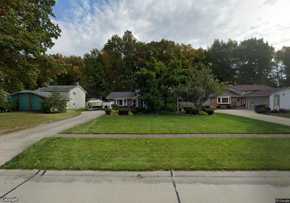
8647 Ashwood Dr Strongsville, OH 44149
Estimated Value: $310,905 - $343,000
3
Beds
2
Baths
1,960
Sq Ft
$166/Sq Ft
Est. Value
About This Home
This home is located at 8647 Ashwood Dr, Strongsville, OH 44149 and is currently estimated at $324,976, approximately $165 per square foot. 8647 Ashwood Dr is a home located in Cuyahoga County with nearby schools including Strongsville High School, St Mary School, and Sts Joseph & John Interparochial School.
Ownership History
Date
Name
Owned For
Owner Type
Purchase Details
Closed on
Jul 2, 2004
Sold by
Sawyer Thomas R and Sawyer Becky Ann
Bought by
Butler Crystal L
Current Estimated Value
Home Financials for this Owner
Home Financials are based on the most recent Mortgage that was taken out on this home.
Original Mortgage
$100,000
Outstanding Balance
$50,448
Interest Rate
6.37%
Mortgage Type
Purchase Money Mortgage
Estimated Equity
$274,528
Purchase Details
Closed on
Oct 31, 1983
Bought by
Sawyer Thomas R
Purchase Details
Closed on
Oct 11, 1983
Sold by
Davis Vernon O
Bought by
Continental Fed S&L Assoc
Purchase Details
Closed on
Feb 6, 1981
Sold by
Oswald Robert J and Oswald Marion N
Bought by
Davis Vernon O
Purchase Details
Closed on
Jan 1, 1975
Bought by
Oswald Robert J and Oswald Marion N
Create a Home Valuation Report for This Property
The Home Valuation Report is an in-depth analysis detailing your home's value as well as a comparison with similar homes in the area
Home Values in the Area
Average Home Value in this Area
Purchase History
| Date | Buyer | Sale Price | Title Company |
|---|---|---|---|
| Butler Crystal L | $154,000 | Signature Title | |
| Sawyer Thomas R | $77,500 | -- | |
| Verex Assurance Inc | -- | -- | |
| Continental Fed S&L Assoc | $60,000 | -- | |
| Davis Vernon O | $82,500 | -- | |
| Oswald Robert J | -- | -- |
Source: Public Records
Mortgage History
| Date | Status | Borrower | Loan Amount |
|---|---|---|---|
| Open | Butler Crystal L | $100,000 |
Source: Public Records
Tax History Compared to Growth
Tax History
| Year | Tax Paid | Tax Assessment Tax Assessment Total Assessment is a certain percentage of the fair market value that is determined by local assessors to be the total taxable value of land and additions on the property. | Land | Improvement |
|---|---|---|---|---|
| 2024 | $4,256 | $90,650 | $20,160 | $70,490 |
| 2023 | $4,279 | $68,330 | $17,050 | $51,280 |
| 2022 | $4,247 | $68,320 | $17,050 | $51,280 |
| 2021 | $4,214 | $68,320 | $17,050 | $51,280 |
| 2020 | $3,904 | $56,000 | $13,970 | $42,040 |
| 2019 | $3,790 | $160,000 | $39,900 | $120,100 |
| 2018 | $3,454 | $56,000 | $13,970 | $42,040 |
| 2017 | $3,532 | $53,240 | $13,370 | $39,870 |
| 2016 | $3,503 | $53,240 | $13,370 | $39,870 |
| 2015 | $3,401 | $53,240 | $13,370 | $39,870 |
| 2014 | $3,401 | $50,970 | $12,990 | $37,980 |
Source: Public Records
Map
Nearby Homes
- 8627 Courtland Dr
- 8902 Lincolnshire Blvd
- 8036 Fair Rd
- 9829 Plum Brook Ln
- 9598 Pebble Brook Ln
- 8746 Barton Dr
- 22300 Rock Creek Cir
- 84 Sprague Rd
- 0 Priem Rd
- 740 Fair St
- 10353 Oak Branch Trail
- 243 Jananna Dr
- 9384 N Marks Rd
- 104 Whitehall Dr
- 458 Sprague Rd
- 21355 Hickory Branch Trail
- 10001 N Marks Rd
- 148 Meadow Cir
- 21176 Hickory Branch Trail
- 9401 Pheasant Run Place
- 8651 Ashwood Dr
- 8643 Ashwood Dr
- 8655 Ashwood Dr
- 8639 Ashwood Dr
- 8658 Courtland Dr
- 8635 Ashwood Dr
- 8664 Courtland Dr
- 8659 Ashwood Dr
- 8650 Courtland Dr
- 8668 Ashwood Dr
- 8666 Ashwood Dr
- 22002 Jonathan Dr
- 8674 Ashwood Dr
- 8660 Ashwood Dr
- 8631 Ashwood Dr
- 21996 Jonathan Dr
- 8671 Ashwood Dr
- 8646 Courtland Dr
- 8678 Ashwood Dr
- 8656 Ashwood Dr