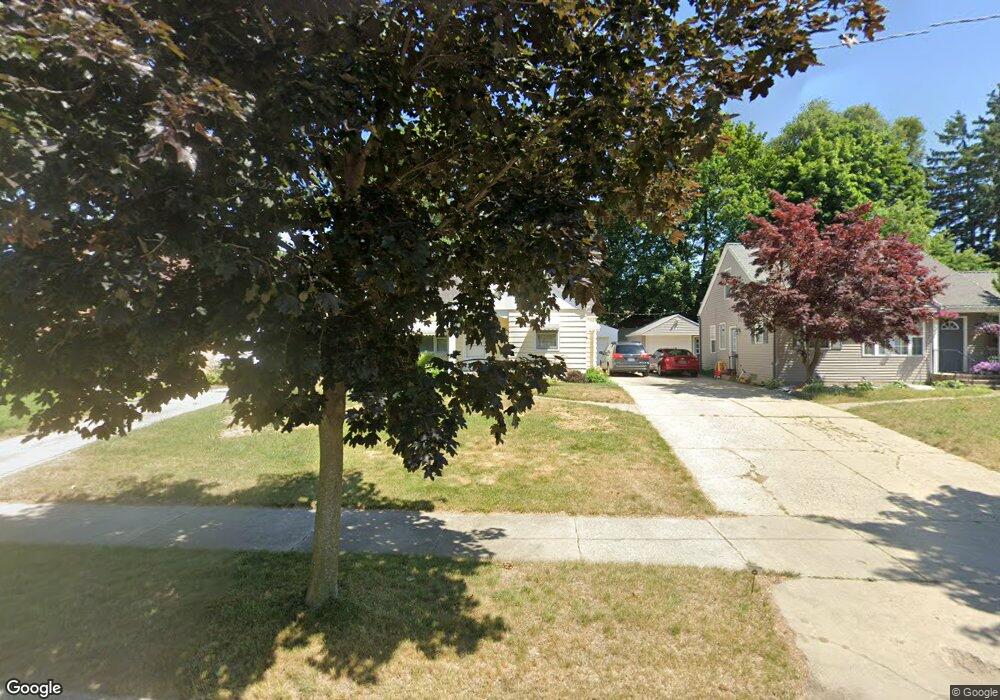
865 Dorroll St NE Grand Rapids, MI 49505
Creston NeighborhoodEstimated Value: $261,159 - $287,000
--
Bed
--
Bath
998
Sq Ft
$272/Sq Ft
Est. Value
About This Home
This home is located at 865 Dorroll St NE, Grand Rapids, MI 49505 and is currently estimated at $271,290, approximately $271 per square foot. 865 Dorroll St NE is a home located in Kent County with nearby schools including Riverside Middle School, Union High School, and All Saints Academy - Lower Campus.
Ownership History
Date
Name
Owned For
Owner Type
Purchase Details
Closed on
Jan 27, 2003
Sold by
Camburn Janet K and Koll Kenneth
Bought by
Camburn Janet K and Kinloch Margaret A
Current Estimated Value
Home Financials for this Owner
Home Financials are based on the most recent Mortgage that was taken out on this home.
Original Mortgage
$40,000
Interest Rate
4.25%
Mortgage Type
Purchase Money Mortgage
Purchase Details
Closed on
May 9, 1984
Create a Home Valuation Report for This Property
The Home Valuation Report is an in-depth analysis detailing your home's value as well as a comparison with similar homes in the area
Home Values in the Area
Average Home Value in this Area
Purchase History
| Date | Buyer | Sale Price | Title Company |
|---|---|---|---|
| Camburn Janet K | -- | Metropolitan Title Company | |
| Camburn Janet K | $100,000 | Metropolitan Title Company | |
| -- | $12,800 | -- |
Source: Public Records
Mortgage History
| Date | Status | Borrower | Loan Amount |
|---|---|---|---|
| Previous Owner | Camburn Janet K | $40,000 |
Source: Public Records
Tax History Compared to Growth
Tax History
| Year | Tax Paid | Tax Assessment Tax Assessment Total Assessment is a certain percentage of the fair market value that is determined by local assessors to be the total taxable value of land and additions on the property. | Land | Improvement |
|---|---|---|---|---|
| 2025 | $1,855 | $127,900 | $0 | $0 |
| 2024 | $1,855 | $118,500 | $0 | $0 |
| 2023 | $1,827 | $102,000 | $0 | $0 |
| 2022 | $1,735 | $88,300 | $0 | $0 |
| 2021 | $1,696 | $77,800 | $0 | $0 |
| 2020 | $1,622 | $71,900 | $0 | $0 |
| 2019 | $1,640 | $64,700 | $0 | $0 |
| 2018 | $1,640 | $59,400 | $0 | $0 |
| 2017 | $1,597 | $52,800 | $0 | $0 |
| 2016 | $1,616 | $48,300 | $0 | $0 |
| 2015 | $1,503 | $48,300 | $0 | $0 |
| 2013 | -- | $44,200 | $0 | $0 |
Source: Public Records
Map
Nearby Homes
- 861 Aberdeen St NE
- 778 Eleanor St NE
- 2471 Union Ave NE
- 2700 Plainfield Ave NE
- 2038 Melita Ave NE
- 1050 3 Mile Rd NE
- 465 Kenwood St NE
- 612 Woodridge St NE
- 2856 Cheney Ave NE
- 1245 Kelsey St NE
- 2818 Edgewood Ave NE
- 2019 Plainfield Ave NE
- 2100 Dawson Ave NE
- 2630 Oakwood Ave NE
- 2030 Sinclair Ave NE
- 1848 Emerald Ave NE
- 308 Sligh Blvd NE
- 2723 Oakwood Ave NE
- 1825 Meadowfield Dr NE
- 1335 Knapp St NE
- 869 Dorroll St NE
- 859 Dorroll St NE
- 875 Dorroll St NE
- 855 Dorroll St NE
- 862 Aberdeen St NE
- 858 Aberdeen St NE
- 868 Aberdeen St NE
- 881 Dorroll St NE
- 849 Dorroll St NE
- 854 Aberdeen St NE
- 874 Aberdeen St NE
- 866 Dorroll St NE
- 860 Dorroll St NE
- 848 Aberdeen St NE
- 845 Dorroll St NE
- 878 Aberdeen St NE
- 885 Dorroll St NE
- 872 Dorroll St NE
- 854 Dorroll St NE
- 844 Aberdeen St NE