865 Michael McLeod Mc Lain, MS 39456
Estimated Value: $112,000 - $139,000
Studio
--
Bath
1,094
Sq Ft
$114/Sq Ft
Est. Value
About This Home
This home is located at 865 Michael McLeod, Mc Lain, MS 39456 and is currently estimated at $124,333, approximately $113 per square foot. 865 Michael McLeod is a home with nearby schools including Greene County High School.
Create a Home Valuation Report for This Property
The Home Valuation Report is an in-depth analysis detailing your home's value as well as a comparison with similar homes in the area
Tax History
| Year | Tax Paid | Tax Assessment Tax Assessment Total Assessment is a certain percentage of the fair market value that is determined by local assessors to be the total taxable value of land and additions on the property. | Land | Improvement |
|---|---|---|---|---|
| 2025 | $453 | $5,076 | $0 | $0 |
| 2024 | $453 | $4,263 | $0 | $0 |
| 2023 | $378 | $4,303 | $0 | $0 |
| 2022 | $388 | $4,383 | $0 | $0 |
| 2021 | $393 | $4,423 | $0 | $0 |
| 2020 | $312 | $3,520 | $0 | $0 |
| 2019 | $316 | $3,552 | $0 | $0 |
| 2018 | $229 | $2,518 | $0 | $0 |
| 2017 | $2 | $2,536 | $0 | $0 |
| 2015 | $8 | $62 | $0 | $0 |
| 2014 | $14 | $114 | $0 | $0 |
| 2013 | -- | $105 | $0 | $0 |
Source: Public Records
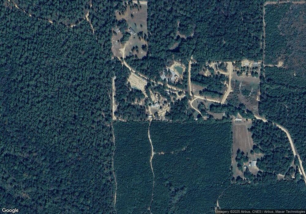
Map
Nearby Homes
- 0 Corbit Blvd Unit 4133748
- 10499 Highway 57
- 56 Mol Ac Jerico Loop
- 0 Hwy 57 Unit 4126345
- 301 Woods Rd
- NSN Mississippi 57
- Nsn Mount Rose Cir
- 0 Hack's Rd
- 0 Nhn 00 Us-98
- 0 Nhn 01 Us-98
- NHN 01 US Highway 98
- NHN 00 US Highway 98
- 668 Progress Rd
- 40 Mol Ac Old Hwy 24
- 53 Mol Ac Old Hwy 24
- 160 Mol Ac Old Hwy 24
- 1.08 Mol Ac Old Hwy 24 Parcel 24
- 1.08 Mol Ac Old Hwy 24 Parcel 23
- 1.12 Mol Ac Old Hwy 24 Parcel 21
- 1.07 Mol Ac Old Hwy 24 Parcel 25
Your Personal Tour Guide
Ask me questions while you tour the home.