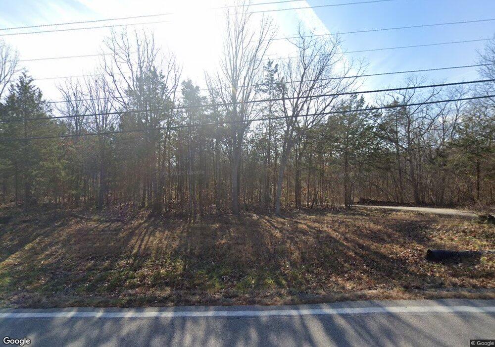
8656 Highway Nn Cedar Hill, MO 63016
Estimated Value: $194,817 - $230,000
--
Bed
--
Bath
1,213
Sq Ft
$178/Sq Ft
Est. Value
About This Home
This home is located at 8656 Highway Nn, Cedar Hill, MO 63016 and is currently estimated at $215,704, approximately $177 per square foot. 8656 Highway Nn is a home located in Jefferson County with nearby schools including Northwest High School.
Ownership History
Date
Name
Owned For
Owner Type
Purchase Details
Closed on
Sep 21, 2005
Sold by
Turnbough Harold K and Turnbough Beth Ann
Bought by
Morgan Michael D and Morgan Wendy L
Current Estimated Value
Home Financials for this Owner
Home Financials are based on the most recent Mortgage that was taken out on this home.
Original Mortgage
$114,800
Outstanding Balance
$61,534
Interest Rate
5.88%
Mortgage Type
Fannie Mae Freddie Mac
Estimated Equity
$154,170
Purchase Details
Closed on
Feb 25, 2004
Sold by
Citifinancial Mortgage Co
Bought by
Turnbough Harold K and Turnbough Beth Ann
Home Financials for this Owner
Home Financials are based on the most recent Mortgage that was taken out on this home.
Original Mortgage
$22,500
Interest Rate
5.68%
Mortgage Type
Credit Line Revolving
Purchase Details
Closed on
Jul 16, 2002
Sold by
Manula Donald F and Manula Norma Jean
Bought by
Citifinancial Mtg Company
Purchase Details
Closed on
Aug 14, 1998
Sold by
Manula Donald F and Manula Norma Jean
Bought by
Manula Donald F and Manula Norma Jean
Home Financials for this Owner
Home Financials are based on the most recent Mortgage that was taken out on this home.
Original Mortgage
$76,149
Interest Rate
6.9%
Purchase Details
Closed on
Oct 1, 1997
Sold by
Dale Gregory and Dale Phyllis
Bought by
Manula Donald F and Manula Norma Jean
Home Financials for this Owner
Home Financials are based on the most recent Mortgage that was taken out on this home.
Original Mortgage
$58,770
Interest Rate
11.43%
Create a Home Valuation Report for This Property
The Home Valuation Report is an in-depth analysis detailing your home's value as well as a comparison with similar homes in the area
Home Values in the Area
Average Home Value in this Area
Purchase History
| Date | Buyer | Sale Price | Title Company |
|---|---|---|---|
| Morgan Michael D | -- | -- | |
| Turnbough Harold K | -- | -- | |
| Citifinancial Mtg Company | $45,000 | -- | |
| Manula Donald F | -- | First American Title | |
| Manula Donald F | -- | Capital Title |
Source: Public Records
Mortgage History
| Date | Status | Borrower | Loan Amount |
|---|---|---|---|
| Open | Morgan Michael D | $114,800 | |
| Previous Owner | Turnbough Harold K | $22,500 | |
| Previous Owner | Manula Donald F | $76,149 | |
| Previous Owner | Manula Donald F | $58,770 |
Source: Public Records
Tax History Compared to Growth
Tax History
| Year | Tax Paid | Tax Assessment Tax Assessment Total Assessment is a certain percentage of the fair market value that is determined by local assessors to be the total taxable value of land and additions on the property. | Land | Improvement |
|---|---|---|---|---|
| 2025 | $1,538 | $21,800 | $2,700 | $19,100 |
| 2024 | $1,538 | $20,300 | $2,700 | $17,600 |
| 2023 | $1,538 | $20,300 | $2,700 | $17,600 |
| 2022 | $1,532 | $20,300 | $2,700 | $17,600 |
| 2021 | $1,517 | $20,300 | $2,700 | $17,600 |
| 2020 | $1,409 | $18,300 | $2,500 | $15,800 |
| 2019 | $1,409 | $18,300 | $2,500 | $15,800 |
| 2018 | $1,405 | $18,300 | $2,500 | $15,800 |
| 2017 | $1,338 | $18,300 | $2,500 | $15,800 |
| 2016 | $1,229 | $16,800 | $2,500 | $14,300 |
| 2015 | -- | $16,800 | $2,500 | $14,300 |
Source: Public Records
Map
Nearby Homes
- 0 Terri Hill Dr
- 8911 Kitson Ln
- 7016 Oakwood Dr
- 7205 Lakeshore Dr
- 7324 Lakeshore Dr
- 6207 Cedar Brook Dr
- 7320 Cedar Dr
- 7322 Springdale
- 7345 Woodland Dr
- 6899 Circle Dr
- 69 Cedar Hill Estates Unit C-15
- 8600 High St
- 8528 Red Rose Ct
- 6229 Twin Springs Blvd
- 8438 High St
- 7558 Riffle Island Dr
- 7562 Riffle Island Dr
- 7678 Burgess Ford Rd
- 8518 Lake Dr
- 0 Lake Dr
