866 Jacob Ct Stevensville, MT 59870
Estimated Value: $720,000 - $773,000
3
Beds
3
Baths
2,644
Sq Ft
$286/Sq Ft
Est. Value
About This Home
This home is located at 866 Jacob Ct, Stevensville, MT 59870 and is currently estimated at $755,953, approximately $285 per square foot. 866 Jacob Ct is a home with nearby schools including Lone Rock Elementary School, Lone Rock Junior High School, and Stevensville High School.
Ownership History
Date
Name
Owned For
Owner Type
Purchase Details
Closed on
Dec 3, 2004
Bought by
Durkin James R and Murray Maura
Current Estimated Value
Create a Home Valuation Report for This Property
The Home Valuation Report is an in-depth analysis detailing your home's value as well as a comparison with similar homes in the area
Home Values in the Area
Average Home Value in this Area
Purchase History
| Date | Buyer | Sale Price | Title Company |
|---|---|---|---|
| Durkin James R | -- | -- |
Source: Public Records
Tax History Compared to Growth
Tax History
| Year | Tax Paid | Tax Assessment Tax Assessment Total Assessment is a certain percentage of the fair market value that is determined by local assessors to be the total taxable value of land and additions on the property. | Land | Improvement |
|---|---|---|---|---|
| 2025 | $2,500 | $657,400 | $0 | $0 |
| 2024 | $3,210 | $543,600 | $0 | $0 |
| 2023 | $3,221 | $543,600 | $0 | $0 |
| 2022 | $2,858 | $426,200 | $0 | $0 |
| 2021 | $3,230 | $426,200 | $0 | $0 |
| 2020 | $2,831 | $357,900 | $0 | $0 |
| 2019 | $2,798 | $357,900 | $0 | $0 |
| 2018 | $2,613 | $340,500 | $0 | $0 |
| 2017 | $2,430 | $340,500 | $0 | $0 |
| 2016 | $2,197 | $293,500 | $0 | $0 |
| 2015 | $2,228 | $293,500 | $0 | $0 |
| 2014 | $2,095 | $165,095 | $0 | $0 |
Source: Public Records
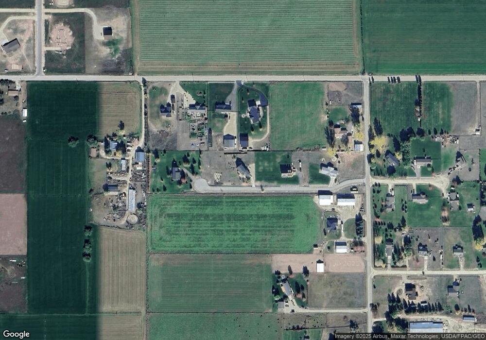
Map
Nearby Homes
- 4440 Sunburst Ln
- 4594 Broken Spoke Rd
- NHN - Lot 2, phase 3 Broken Spoke Rd
- Lot 3 - PHASE 2 Broken Spoke Rd
- Lot 4 - PHASE 2 Broken Spoke Rd
- Lot 5 - PHASE 2 Broken Spoke Rd
- 1084 Josie Ct
- 870 Chieftain Ct
- 1117 Hanlan Ln
- 1019 Leese Ln
- 4488 Collie Ct
- 4458 Ludwig Ln
- 4358 Charlotte Way
- 1206 Ambrose Creek Rd
- 571 Ridge Rd
- 4735 Drake Ln
- 1204 Ambrose Creek Rd
- 4283 Burro Ln
- 4301 Burro Ln
- 751 Lazy Heart Dr
- Lot 2 Jacob Ct
- Lot 4 Jacob Ct
- 918 Jacob Ct
- 965 3 Mile Creek Rd
- 967 3 Mile Creek Rd
- 834 Jacob Ct
- 957 Three Mile Creek Rd
- 974 Jacob Ct
- 953 Three Mile Creek Rd
- 953 3 Mile Creek Rd
- 4493 Sunnyside Cemetery Rd
- XOX Starburst Ln
- 4465 Sunnyside Cemetery Rd
- 4455 Sunnyside Cemetery Rd
- 1005 Starburst Ln
- 1004 Starburst Ln
- 4433 Sunburst Ln
- 1010 Starburst Ln
- 1011 Starburst Ln
- 4451 Sunnyside Cemetery Rd