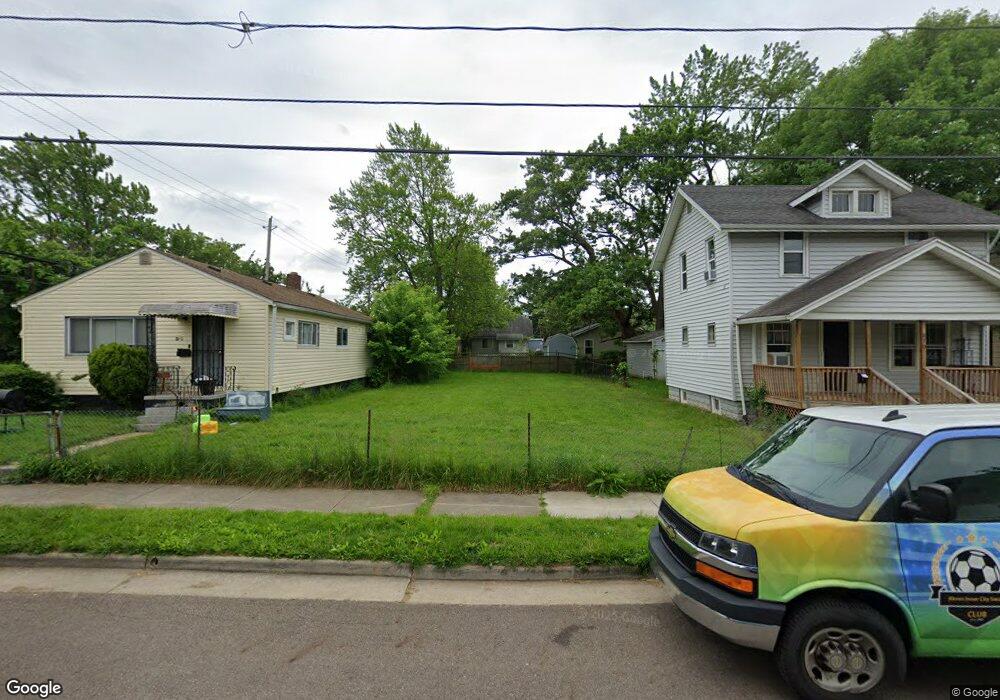
866 Saxon Ave Akron, OH 44314
Kenmore NeighborhoodEstimated Value: $97,000 - $172,000
3
Beds
1
Bath
1,075
Sq Ft
$114/Sq Ft
Est. Value
About This Home
This home is located at 866 Saxon Ave, Akron, OH 44314 and is currently estimated at $123,000, approximately $114 per square foot. 866 Saxon Ave is a home located in Summit County with nearby schools including Pfeiffer Elementary School, Emmanuel Christian Academy, and St. Bernard-St. Mary Elementary School.
Ownership History
Date
Name
Owned For
Owner Type
Purchase Details
Closed on
Jul 30, 2020
Sold by
Ruttig Benjamin A
Bought by
Talist Investments Llc
Current Estimated Value
Purchase Details
Closed on
Jul 29, 2020
Sold by
Ruttig Benjamin A
Bought by
Talist Investments Llc
Purchase Details
Closed on
Feb 21, 2019
Sold by
Summit County Land Reutilizationo Co
Bought by
Ruttg Benjamin A
Purchase Details
Closed on
Sep 29, 2017
Sold by
Gregory Joseph R and Gregory Joseph
Bought by
The Summit County Land Reutilization Cor
Purchase Details
Closed on
Apr 21, 2009
Sold by
Ferrebee Noel and Ferrebee Noel Sherman
Bought by
Gregory Merry L
Create a Home Valuation Report for This Property
The Home Valuation Report is an in-depth analysis detailing your home's value as well as a comparison with similar homes in the area
Home Values in the Area
Average Home Value in this Area
Purchase History
| Date | Buyer | Sale Price | Title Company |
|---|---|---|---|
| Talist Investments Llc | $10,390 | None Listed On Document | |
| Talist Investments Llc | $10,390 | None Listed On Document | |
| Ruttg Benjamin A | -- | None Available | |
| The Summit County Land Reutilization Cor | -- | None Available | |
| Gregory Merry L | -- | -- |
Source: Public Records
Tax History Compared to Growth
Tax History
| Year | Tax Paid | Tax Assessment Tax Assessment Total Assessment is a certain percentage of the fair market value that is determined by local assessors to be the total taxable value of land and additions on the property. | Land | Improvement |
|---|---|---|---|---|
| 2025 | $1,136 | $4,442 | $4,442 | -- |
| 2024 | $349 | $4,442 | $4,442 | -- |
| 2023 | $1,136 | $4,442 | $4,442 | $0 |
| 2022 | $321 | $3,066 | $3,066 | $0 |
| 2021 | $321 | $3,066 | $3,066 | $0 |
| 2020 | $269 | $3,070 | $3,070 | $0 |
| 2019 | $66 | $3,640 | $3,640 | $0 |
| 2018 | $66 | $3,640 | $3,640 | $0 |
| 2017 | $1,264 | $13,550 | $3,640 | $9,910 |
| 2016 | $1,501 | $16,930 | $3,640 | $13,290 |
| 2015 | $1,264 | $16,930 | $3,640 | $13,290 |
| 2014 | $1,254 | $16,930 | $3,640 | $13,290 |
| 2013 | $1,234 | $17,010 | $3,640 | $13,370 |
Source: Public Records
Map
Nearby Homes
- 905 National Ave
- 936 Jason Ave
- 809 Lakewood Blvd
- 788 Saxon Ave
- 1637 East Ave Unit 1639
- 828 Marie Ave
- 980 Jason Ave
- 771 Indian Trail
- 1866 17th St SW
- 918 Silvercrest Ave
- 0 East Ave
- 785 Silvercrest Ave
- 2001 13th St SW
- 1940 8th St SW
- 2016 13th St SW
- 1032 Silvercrest Ave
- 929 Iona Ave
- 989 Harrison Ave
- 545 Thelma Ave
- 543 Thelma Ave