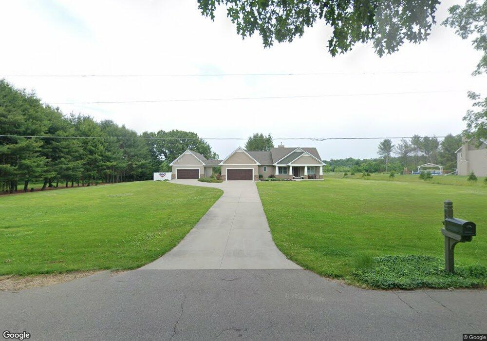
8661 S 10th St Kalamazoo, MI 49009
Estimated Value: $504,967 - $552,000
--
Bed
--
Bath
1,833
Sq Ft
$285/Sq Ft
Est. Value
About This Home
This home is located at 8661 S 10th St, Kalamazoo, MI 49009 and is currently estimated at $522,242, approximately $284 per square foot. 8661 S 10th St is a home with nearby schools including Amberly Elementary School, Portage West Middle School, and Portage Central High School.
Ownership History
Date
Name
Owned For
Owner Type
Purchase Details
Closed on
Aug 28, 2013
Sold by
The Eugenes Miller & Lois A Miller Trust
Bought by
Wespinter Mitchell and Wespinter Jodi
Current Estimated Value
Home Financials for this Owner
Home Financials are based on the most recent Mortgage that was taken out on this home.
Original Mortgage
$297,450
Outstanding Balance
$224,294
Interest Rate
4.33%
Mortgage Type
New Conventional
Estimated Equity
$297,948
Purchase Details
Closed on
May 18, 2006
Sold by
Miller Wilbur E and Miller Lois A
Bought by
Miller Eugene and Miller Lois A
Create a Home Valuation Report for This Property
The Home Valuation Report is an in-depth analysis detailing your home's value as well as a comparison with similar homes in the area
Home Values in the Area
Average Home Value in this Area
Purchase History
| Date | Buyer | Sale Price | Title Company |
|---|---|---|---|
| Wespinter Mitchell | $40,000 | Devon Title Agency | |
| Miller Eugene | -- | None Available |
Source: Public Records
Mortgage History
| Date | Status | Borrower | Loan Amount |
|---|---|---|---|
| Open | Wespinter Mitchell | $297,450 |
Source: Public Records
Tax History Compared to Growth
Tax History
| Year | Tax Paid | Tax Assessment Tax Assessment Total Assessment is a certain percentage of the fair market value that is determined by local assessors to be the total taxable value of land and additions on the property. | Land | Improvement |
|---|---|---|---|---|
| 2025 | $6,541 | $235,900 | $0 | $0 |
| 2024 | $1,936 | $210,600 | $0 | $0 |
| 2023 | $1,846 | $194,300 | $0 | $0 |
| 2022 | $5,940 | $176,300 | $0 | $0 |
| 2021 | $5,769 | $168,800 | $0 | $0 |
| 2020 | $5,635 | $170,800 | $0 | $0 |
| 2019 | $5,170 | $153,400 | $0 | $0 |
| 2018 | $3,236 | $150,000 | $0 | $0 |
| 2017 | -- | $151,500 | $0 | $0 |
| 2016 | -- | $147,600 | $0 | $0 |
| 2015 | -- | $141,000 | $19,600 | $121,400 |
| 2014 | -- | $141,000 | $0 | $0 |
Source: Public Records
Map
Nearby Homes
- 5727 Bob White Ave
- 5353 Chickadee Dr
- 5284 Green Pine Ln
- 5420 Whippoorwill Dr
- 5191 W R Ave
- 8022 Magistrate St
- 5151 W R Ave
- 5660 Saddle Club Dr
- 5825 Saddle Club Dr
- 8420 S 12th St
- 6737 W Q Ave
- 7839 Clydesdale Ave Unit 93
- 7620 Stablebrook Cir
- 9030 S 8th St
- 7873 Shepherds Glen Ct
- 6139 Delasala Ct
- 5260 Saddle Club Dr
- 7440 Brindle Trail Unit 194
- 6061 Equestrian Woods Ct
- 5456 Stoney Brook Rd
- 8675 S 10th St
- 8647 S 10th St
- 8672 S 10th St
- 8747 S 10th St
- 8678 S 10th St
- 8565 S 10th St
- 8781 S 10th St
- 8776 S 10th St
- 8539 S 10th St
- 8539 S 10th St
- 8819 S 10th St
- 5957 Swallow Ave
- 5939 Swallow Ave
- 8486 S 10th St
- 5915 Swallow Ave
- 8842 S 10th St
- 5891 Swallow Ave
- 8462 S 10th St
- 5954 Swallow Ave
- 5861 Swallow Ave