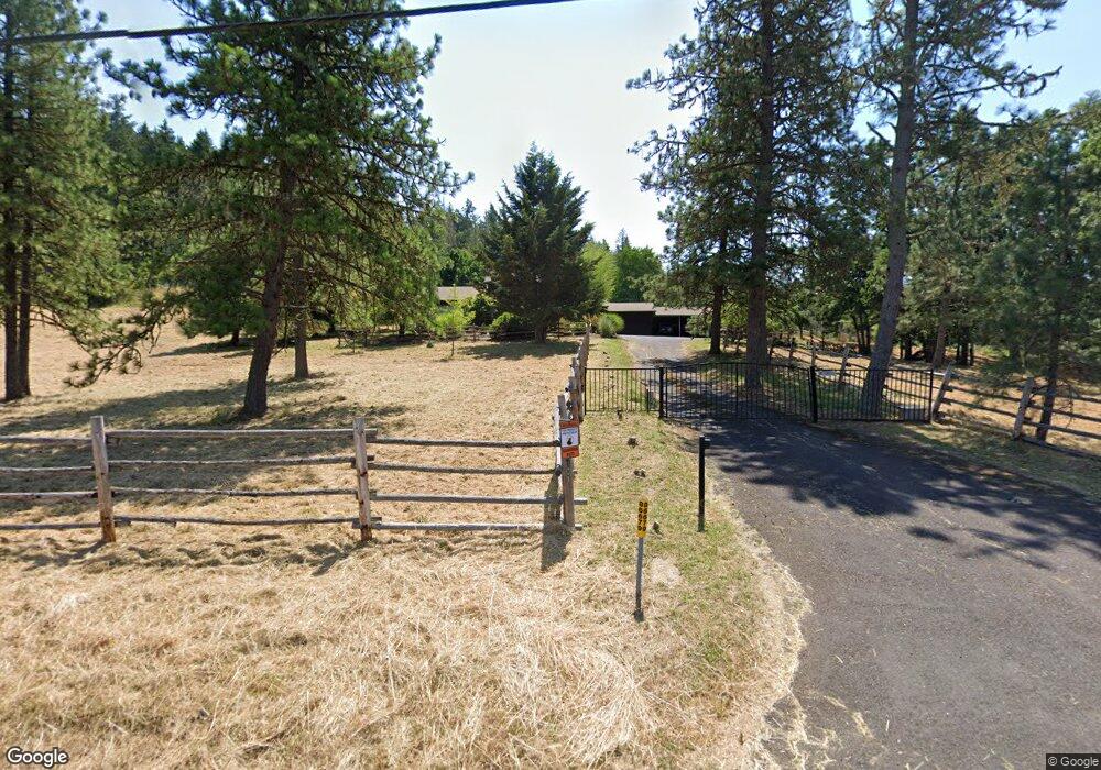
86679 Lorane Hwy Eugene, OR 97405
Estimated Value: $444,000 - $810,668
3
Beds
2
Baths
2,582
Sq Ft
$269/Sq Ft
Est. Value
About This Home
This home is located at 86679 Lorane Hwy, Eugene, OR 97405 and is currently estimated at $694,417, approximately $268 per square foot. 86679 Lorane Hwy is a home located in Lane County with nearby schools including Adams Elementary School, Arts And Technology Academy At Jefferson, and Churchill High School.
Ownership History
Date
Name
Owned For
Owner Type
Purchase Details
Closed on
Aug 6, 2024
Sold by
Davis Laoni H
Bought by
Davis Family Trust and Davis
Current Estimated Value
Purchase Details
Closed on
Feb 7, 2006
Sold by
Young William D and Young Diana K
Bought by
Fitz Michelle
Home Financials for this Owner
Home Financials are based on the most recent Mortgage that was taken out on this home.
Original Mortgage
$417,000
Interest Rate
6.12%
Mortgage Type
Fannie Mae Freddie Mac
Create a Home Valuation Report for This Property
The Home Valuation Report is an in-depth analysis detailing your home's value as well as a comparison with similar homes in the area
Purchase History
| Date | Buyer | Sale Price | Title Company |
|---|---|---|---|
| Davis Family Trust | -- | None Listed On Document | |
| Fitz Michelle | $528,000 | Western Title & Escrow Compa |
Source: Public Records
Mortgage History
| Date | Status | Borrower | Loan Amount |
|---|---|---|---|
| Previous Owner | Fitz Michelle | $417,000 |
Source: Public Records
Tax History
| Year | Tax Paid | Tax Assessment Tax Assessment Total Assessment is a certain percentage of the fair market value that is determined by local assessors to be the total taxable value of land and additions on the property. | Land | Improvement |
|---|---|---|---|---|
| 2025 | $4,635 | $339,456 | -- | -- |
| 2024 | $4,604 | $329,569 | -- | -- |
| 2023 | $4,604 | $319,970 | $0 | $0 |
| 2022 | $4,388 | $310,651 | $0 | $0 |
| 2021 | $4,043 | $301,603 | $0 | $0 |
| 2020 | $4,104 | $292,819 | $0 | $0 |
| 2019 | $3,954 | $284,291 | $0 | $0 |
| 2018 | $3,656 | $267,972 | $0 | $0 |
| 2017 | $3,515 | $267,972 | $0 | $0 |
| 2016 | $3,420 | $260,167 | $0 | $0 |
| 2015 | $3,340 | $252,589 | $0 | $0 |
| 2014 | $3,284 | $245,232 | $0 | $0 |
Source: Public Records
Map
Nearby Homes
- 2030 W 34th Ave
- 3023 Ashley Loop
- 0 W 40th Ave Unit 3 545854116
- 0 W 40th Ave Unit 3 639571582
- 0 Lorane Hwy Unit 1-3-5-A
- 0 Mclean Blvd Unit 24671448
- 0 Mclean Blvd Unit 697374759
- 3093 Soloman Loop
- 1783 Graham Dr
- 86134 Lorane Hwy
- 2191 Lorane Hwy
- 2850 Garfield St
- 4040 Southpointe Dr
- 2455 W 29th Ave
- 3147 Tanner Park Dr
- 2870 Hawkins Ln
- 2225 W 28th Ave
- 3490 Southview Dr
- 2315 W 28th Ave
- 2572 W 28th Ave
- 2324 Lorane Hwy
- 86671 Lorane Hwy
- 86661 Lorane Hwy
- 2250 Lorane Hwy
- 2240 Lorane Hwy
- 86639 Lorane Hwy
- 2141 Crest Dr
- 86673 Lorane Hwy
- 2172 Lorane Hwy
- 2201 Lorane Hwy
- 2146 Lorane Hwy
- 2085 Crest Dr
- 86621 Lorane Hwy
- 2119 Lorane Hwy
- 1900 Crest Dr
- 1975 Crest Dr
- 2060 Lorane Hwy
- 2071 Lorane Hwy
- 2000 Lorane Hwy
- 2111 Lorane Hwy
Your Personal Tour Guide
Ask me questions while you tour the home.