8668 N 380 Rd Locust Grove, OK 74352
Estimated Value: $340,223 - $507,000
3
Beds
2
Baths
1,120
Sq Ft
$356/Sq Ft
Est. Value
About This Home
This home is located at 8668 N 380 Rd, Locust Grove, OK 74352 and is currently estimated at $399,074, approximately $356 per square foot. 8668 N 380 Rd is a home located in Cherokee County with nearby schools including Locust Grove Early Lrning Center, Locust Grove Upper Elementary School, and Locust Grove Middle School.
Ownership History
Date
Name
Owned For
Owner Type
Purchase Details
Closed on
Jan 25, 2022
Sold by
Lawless Mike M and Lawless Kathryn M
Bought by
Pudewa Andrew and Pudewa Robin
Current Estimated Value
Purchase Details
Closed on
Nov 18, 2005
Sold by
Hogan Mark Wade
Bought by
Lawless Michael W
Home Financials for this Owner
Home Financials are based on the most recent Mortgage that was taken out on this home.
Original Mortgage
$314,500
Interest Rate
6.25%
Mortgage Type
Adjustable Rate Mortgage/ARM
Purchase Details
Closed on
Feb 2, 2001
Sold by
Troy and Lorene Spencer
Bought by
Mark Wade Hogan
Purchase Details
Closed on
Dec 19, 1994
Sold by
Reeder J B
Bought by
Troy W Spencer
Create a Home Valuation Report for This Property
The Home Valuation Report is an in-depth analysis detailing your home's value as well as a comparison with similar homes in the area
Home Values in the Area
Average Home Value in this Area
Purchase History
| Date | Buyer | Sale Price | Title Company |
|---|---|---|---|
| Pudewa Andrew | -- | None Listed On Document | |
| Lawless Michael W | $370,000 | Cherokee Capitol Closign Ser | |
| Mark Wade Hogan | $240,000 | -- | |
| Troy W Spencer | $175,000 | -- |
Source: Public Records
Mortgage History
| Date | Status | Borrower | Loan Amount |
|---|---|---|---|
| Previous Owner | Lawless Michael W | $314,500 |
Source: Public Records
Tax History Compared to Growth
Tax History
| Year | Tax Paid | Tax Assessment Tax Assessment Total Assessment is a certain percentage of the fair market value that is determined by local assessors to be the total taxable value of land and additions on the property. | Land | Improvement |
|---|---|---|---|---|
| 2024 | $1,583 | $16,712 | $3,879 | $12,833 |
| 2023 | $1,537 | $16,225 | $3,879 | $12,346 |
| 2022 | $1,723 | $18,353 | $1,453 | $16,900 |
| 2021 | $1,707 | $17,818 | $1,410 | $16,408 |
| 2020 | $1,681 | $17,299 | $1,369 | $15,930 |
| 2019 | $1,634 | $16,795 | $1,361 | $15,434 |
| 2018 | $1,617 | $16,306 | $1,253 | $15,053 |
| 2017 | $1,016 | $10,238 | $944 | $9,294 |
| 2016 | $973 | $10,037 | $950 | $9,087 |
| 2015 | $918 | $9,744 | $1,067 | $8,677 |
| 2014 | $918 | $9,461 | $1,014 | $8,447 |
Source: Public Records
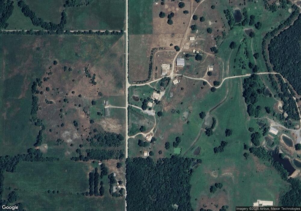
Map
Nearby Homes
- 14209 S 439
- 8465 W 660 Rd
- 8465 W 660 Rd Hulbert Unit OK 74441
- 0 Rural Route Unit 25-1842
- 0 Rural Route Unit 2536190
- 34190 E 651 Way
- 0 650 Rd E Unit 25-1213
- 0 W 710 Rd Unit 2438380
- 0 W 710 Rd Unit 2438372
- 0 W 710 Rd Unit 2438367
- Lake Crest
- Lake Crest
- E E 651 Rd
- S S 337 Rd
- 33684 E 650 Dr
- 13017 N Quail Ave
- 13235 Red Bud Dr
- 0 Crest Dr
- 0 W 650 Rd Unit 2529559
- 34159 E 698 Rd