8668 S Us Highway 27 Dewitt, MI 48820
Estimated Value: $349,000 - $422,000
3
Beds
2
Baths
2,102
Sq Ft
$189/Sq Ft
Est. Value
About This Home
This home is located at 8668 S Us Highway 27, Dewitt, MI 48820 and is currently estimated at $396,969, approximately $188 per square foot. 8668 S Us Highway 27 is a home located in Clinton County with nearby schools including St. Johns High School.
Ownership History
Date
Name
Owned For
Owner Type
Purchase Details
Closed on
Sep 12, 2005
Sold by
Mosher Jack B and Mosher Elizabeth J
Bought by
Krol Robert F and Krol Marilyn J
Current Estimated Value
Home Financials for this Owner
Home Financials are based on the most recent Mortgage that was taken out on this home.
Original Mortgage
$160,000
Outstanding Balance
$86,030
Interest Rate
5.93%
Mortgage Type
Fannie Mae Freddie Mac
Estimated Equity
$310,939
Create a Home Valuation Report for This Property
The Home Valuation Report is an in-depth analysis detailing your home's value as well as a comparison with similar homes in the area
Home Values in the Area
Average Home Value in this Area
Purchase History
| Date | Buyer | Sale Price | Title Company |
|---|---|---|---|
| Krol Robert F | $244,000 | Fatic |
Source: Public Records
Mortgage History
| Date | Status | Borrower | Loan Amount |
|---|---|---|---|
| Open | Krol Robert F | $160,000 |
Source: Public Records
Tax History Compared to Growth
Tax History
| Year | Tax Paid | Tax Assessment Tax Assessment Total Assessment is a certain percentage of the fair market value that is determined by local assessors to be the total taxable value of land and additions on the property. | Land | Improvement |
|---|---|---|---|---|
| 2025 | $3,205 | $175,900 | $48,800 | $127,100 |
| 2024 | $1,419 | $164,400 | $41,300 | $123,100 |
| 2023 | $1,344 | $153,200 | $0 | $0 |
| 2022 | $2,871 | $145,700 | $46,100 | $99,600 |
| 2021 | $2,728 | $127,800 | $40,600 | $87,200 |
| 2020 | $2,661 | $122,400 | $40,600 | $81,800 |
| 2019 | $2,514 | $118,400 | $40,200 | $78,200 |
| 2018 | $2,450 | $119,100 | $35,000 | $84,100 |
| 2017 | $2,426 | $117,500 | $35,000 | $82,500 |
| 2016 | $2,376 | $115,500 | $31,300 | $84,200 |
| 2015 | -- | $106,900 | $0 | $0 |
| 2011 | -- | $95,200 | $0 | $0 |
Source: Public Records
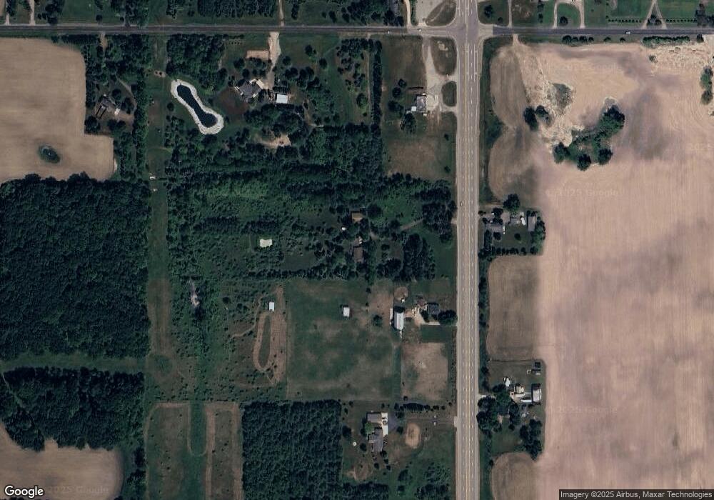
Map
Nearby Homes
- 2615 Alward Rd
- 2604 Green Rd
- 1661 W Cutler Rd
- 7225 S Krepps Rd
- 11549 S Us Highway 27
- 2531 Fedewood
- 2469 Brookview Ln
- 1346 E Howe Rd
- 3031 Crofton Dr
- 4240 E Round Lake Rd
- 10510 S Airport Rd
- 10600 S Airport Rd
- 11423 Hidden Spring Trail
- 407 Westbrook Dr
- 1111 Lacosta Dr
- 12359 Mission Hills Dr
- 12370 Oakland Hills Dr
- 11625 Murano Dr Unit 63
- 7897 S Grove Rd
- 12600 Holly Ln
- 8720 S Us Highway 27
- 8720 S Us Highway 27
- 8665 Old U S 27
- 1245 W Alward Rd
- 8665 S Us Highway 27
- 8544 S Us Highway 27
- 8544 S Us Highway 27
- 8850 S Us Highway 27
- 8833 S Us Highway 27
- 8833 S Us Highway 27
- 1114 W Alward Rd
- 8430 S Us Highway 27
- 00 W Alward Rd
- 8934 S Us Highway 27
- 8423 S Us Highway 27
- 8423 Old U S 27
- 1077 E Alward Rd
- 1400 W Alward Rd
- 8387 S Us Highway 27
- 9020 S Us Highway 27