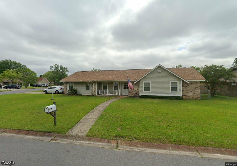
867 Carolee Cir Biloxi, MS 39532
Estimated Value: $188,700 - $219,000
4
Beds
2
Baths
1,424
Sq Ft
$143/Sq Ft
Est. Value
About This Home
This home is located at 867 Carolee Cir, Biloxi, MS 39532 and is currently estimated at $202,925, approximately $142 per square foot. 867 Carolee Cir is a home located in Harrison County with nearby schools including North Bay Elementary School, Biloxi Junior High School, and Biloxi High School.
Ownership History
Date
Name
Owned For
Owner Type
Purchase Details
Closed on
May 1, 2024
Sold by
Fields Linda
Bought by
Davidson Richard and Davidson Shirley A
Current Estimated Value
Purchase Details
Closed on
Jun 28, 2022
Sold by
Martin Betty L
Bought by
Fields Linda
Home Financials for this Owner
Home Financials are based on the most recent Mortgage that was taken out on this home.
Original Mortgage
$150,000
Interest Rate
5.25%
Mortgage Type
New Conventional
Purchase Details
Closed on
May 12, 2022
Sold by
Martin Betty L and Martin Charles F
Bought by
Martin Betty L and Fields Linda
Home Financials for this Owner
Home Financials are based on the most recent Mortgage that was taken out on this home.
Original Mortgage
$150,000
Interest Rate
5.25%
Mortgage Type
New Conventional
Create a Home Valuation Report for This Property
The Home Valuation Report is an in-depth analysis detailing your home's value as well as a comparison with similar homes in the area
Home Values in the Area
Average Home Value in this Area
Purchase History
| Date | Buyer | Sale Price | Title Company |
|---|---|---|---|
| Davidson Richard | -- | None Listed On Document | |
| Fields Linda | -- | None Listed On Document | |
| Martin Betty L | -- | None Listed On Document |
Source: Public Records
Mortgage History
| Date | Status | Borrower | Loan Amount |
|---|---|---|---|
| Previous Owner | Fields Linda | $150,000 |
Source: Public Records
Tax History
| Year | Tax Paid | Tax Assessment Tax Assessment Total Assessment is a certain percentage of the fair market value that is determined by local assessors to be the total taxable value of land and additions on the property. | Land | Improvement |
|---|---|---|---|---|
| 2025 | $246 | $9,700 | $0 | $0 |
| 2024 | $1,603 | $14,468 | $0 | $0 |
| 2023 | $1,588 | $14,468 | $0 | $0 |
| 2022 | $175 | $9,645 | $0 | $0 |
| 2021 | $175 | $9,645 | $0 | $0 |
| 2020 | $999 | $9,092 | $0 | $0 |
| 2019 | $175 | $9,092 | $0 | $0 |
| 2018 | $175 | $9,092 | $0 | $0 |
| 2017 | $175 | $9,092 | $0 | $0 |
| 2015 | $235 | $9,638 | $0 | $0 |
| 2014 | -- | $7,500 | $0 | $0 |
| 2013 | -- | $9,638 | $3,000 | $6,638 |
Source: Public Records
Map
Nearby Homes
- 873 Carolee Cir
- 844 Carolee Cir
- 2158 Baywood Dr
- 2208 Popp's Ferry Rd
- 856 Rustwood Dr
- 2091 Carolwood Dr
- 2011 Ivy Ct
- 2022 Lantana Cove
- 2233 Club Moss Cir
- 2225 Popps Ferry Rd
- 830 Bluewood Dr
- 825 Bilglade Dr
- 2032 Englewood Dr
- 0 Oleander Ln
- 796 Sharon Hills Dr
- 734 Canterbury Dr
- 821 Auburn Dr
- 719 Holly Hills Dr
- 726 Sharon Hills Dr
- 2106 Lauren Dr
- 839 Carolee Cir
- 835 Carolee Cir
- 831 Carolee Cir
- 868 Carolee Cir
- 864 Carolee Cir
- 877 Carolee Cir
- 856 Carolee Cir
- 852 Carolee Cir
- 860 Carolee Cir
- 872 Carolee Cir
- 848 Carolee Cir
- 881 Carolee Cir
- 876 Carolee Cir
- 2181 Baywood Dr
- 836 Carolee Cir
- 2179 Baywood Dr
- 2183 Baywood Dr
- 823 Carolee Cir
- 840 Carolee Cir
- 2165 Baywood Dr
Your Personal Tour Guide
Ask me questions while you tour the home.