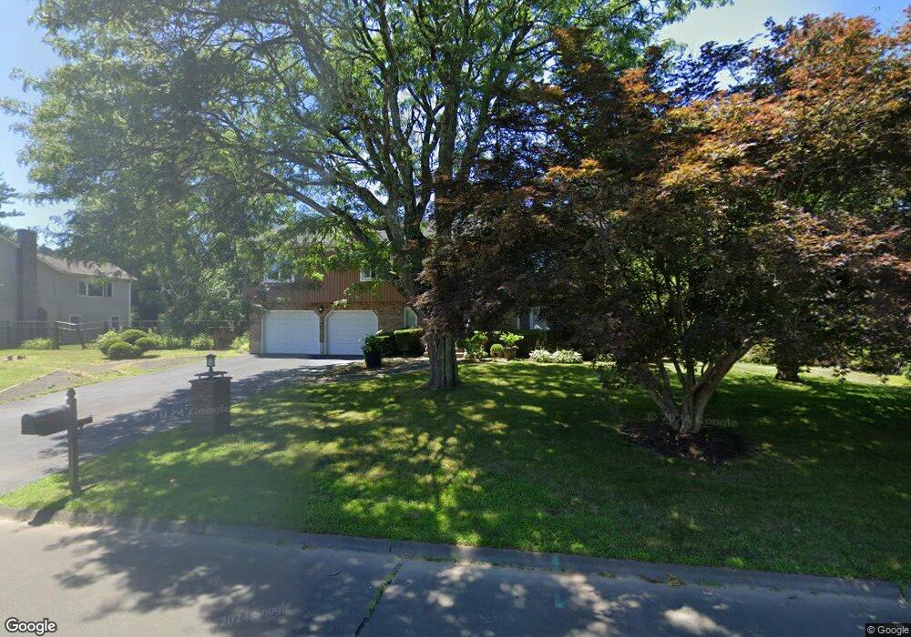
867 Delilah Dr Windsor, CT 06095
West Windsor NeighborhoodEstimated Value: $385,000 - $424,888
3
Beds
3
Baths
1,556
Sq Ft
$259/Sq Ft
Est. Value
About This Home
This home is located at 867 Delilah Dr, Windsor, CT 06095 and is currently estimated at $402,472, approximately $258 per square foot. 867 Delilah Dr is a home located in Hartford County with nearby schools including Poquonock Elementary School, Clover Street School, and Sage Park Middle School.
Ownership History
Date
Name
Owned For
Owner Type
Purchase Details
Closed on
Feb 11, 2003
Sold by
Privee Rita
Bought by
Jenkins Scott and Jenkins Jill
Current Estimated Value
Home Financials for this Owner
Home Financials are based on the most recent Mortgage that was taken out on this home.
Original Mortgage
$137,900
Interest Rate
5.99%
Mortgage Type
Purchase Money Mortgage
Create a Home Valuation Report for This Property
The Home Valuation Report is an in-depth analysis detailing your home's value as well as a comparison with similar homes in the area
Home Values in the Area
Average Home Value in this Area
Purchase History
| Date | Buyer | Sale Price | Title Company |
|---|---|---|---|
| Jenkins Scott | $197,000 | -- |
Source: Public Records
Mortgage History
| Date | Status | Borrower | Loan Amount |
|---|---|---|---|
| Open | Jenkins Scott | $168,000 | |
| Closed | Jenkins Scott | $137,900 | |
| Previous Owner | Jenkins Scott | $93,400 |
Source: Public Records
Tax History Compared to Growth
Tax History
| Year | Tax Paid | Tax Assessment Tax Assessment Total Assessment is a certain percentage of the fair market value that is determined by local assessors to be the total taxable value of land and additions on the property. | Land | Improvement |
|---|---|---|---|---|
| 2024 | $7,437 | $245,280 | $66,500 | $178,780 |
| 2023 | $5,593 | $166,460 | $52,710 | $113,750 |
| 2022 | $5,538 | $166,460 | $52,710 | $113,750 |
| 2021 | $5,538 | $166,460 | $52,710 | $113,750 |
| 2020 | $5,511 | $166,460 | $52,710 | $113,750 |
| 2019 | $5,390 | $166,460 | $52,710 | $113,750 |
| 2018 | $5,355 | $162,470 | $52,710 | $109,760 |
| 2017 | $5,272 | $162,470 | $52,710 | $109,760 |
| 2016 | $5,121 | $162,470 | $52,710 | $109,760 |
| 2015 | $5,024 | $162,470 | $52,710 | $109,760 |
| 2014 | $4,950 | $162,470 | $52,710 | $109,760 |
Source: Public Records
Map
Nearby Homes
- 33 Nod Rd
- 107 Sunnyfield Dr
- 29 Quail Hollow Dr
- 28 Sunnyfield Dr
- 41 Hale Dr
- 420 Tributary Ct
- 170 Rood Ave
- 77 Pine Lane Extension
- 149 Tobey Ave
- 99 Pepperbush Way
- 780 Park Ave
- 29 Alexander Rd
- 15 Alexander Rd
- 8 Matthew Ln
- 2 Sandra Dr
- 17 Mills Rd
- 18 Sandra Dr
- 145 Park Ave
- 45 E Wintonbury Ave
- 170 Dudley Town Rd
- 877 Delilah Dr
- 60 Craigs Rd
- 857 Delilah Dr
- 138 Country Club Dr
- 52 Craigs Rd
- 885 Delilah Dr
- 44 Craigs Rd
- 70 Craigs Rd
- 130 Country Club Dr
- 888 Delilah Dr
- 139 Country Club Dr
- 38 Craigs Rd
- 895 Delilah Dr
- 810 Matianuck Ave
- 59 Nod Rd
- 59 Craigs Rd
- 51 Craigs Rd
- 847 Delilah Dr
- 122 Country Club Dr
- 812 Matianuck Ave