867 Gunsmoke Dr Bailey, CO 80421
Estimated Value: $684,302 - $749,000
3
Beds
3
Baths
2,256
Sq Ft
$317/Sq Ft
Est. Value
About This Home
This home is located at 867 Gunsmoke Dr, Bailey, CO 80421 and is currently estimated at $714,826, approximately $316 per square foot. 867 Gunsmoke Dr is a home located in Park County with nearby schools including Deer Creek Elementary School, Fitzsimmons Middle School, and Platte Canyon High School.
Ownership History
Date
Name
Owned For
Owner Type
Purchase Details
Closed on
Oct 22, 2021
Sold by
Vanpatten William and Vanpatten Young
Bought by
Chatfield Thomas H and Chatfield Karin J
Current Estimated Value
Purchase Details
Closed on
May 31, 2017
Sold by
Barkdull Heidi Wynne
Bought by
Vanpatten William and Vanpatten Ok Young
Home Financials for this Owner
Home Financials are based on the most recent Mortgage that was taken out on this home.
Original Mortgage
$412,650
Interest Rate
3.97%
Mortgage Type
VA
Purchase Details
Closed on
Aug 21, 2009
Sold by
Lougheed Darren J and Lougheed Cindy J
Bought by
Barkdull Heidi Wynee
Home Financials for this Owner
Home Financials are based on the most recent Mortgage that was taken out on this home.
Original Mortgage
$155,550
Interest Rate
5.16%
Mortgage Type
New Conventional
Create a Home Valuation Report for This Property
The Home Valuation Report is an in-depth analysis detailing your home's value as well as a comparison with similar homes in the area
Home Values in the Area
Average Home Value in this Area
Purchase History
| Date | Buyer | Sale Price | Title Company |
|---|---|---|---|
| Chatfield Thomas H | $615,000 | Chicago Title | |
| Vanpatten William | $428,000 | Fidelity National Title | |
| Barkdull Heidi Wynee | $305,000 | Security Title |
Source: Public Records
Mortgage History
| Date | Status | Borrower | Loan Amount |
|---|---|---|---|
| Previous Owner | Vanpatten William | $412,650 | |
| Previous Owner | Barkdull Heidi Wynee | $155,550 |
Source: Public Records
Tax History Compared to Growth
Tax History
| Year | Tax Paid | Tax Assessment Tax Assessment Total Assessment is a certain percentage of the fair market value that is determined by local assessors to be the total taxable value of land and additions on the property. | Land | Improvement |
|---|---|---|---|---|
| 2024 | $2,353 | $39,770 | $6,000 | $33,770 |
| 2023 | $2,353 | $39,770 | $6,000 | $33,770 |
| 2022 | $1,995 | $31,515 | $3,991 | $27,524 |
| 2021 | $1,980 | $32,430 | $4,110 | $28,320 |
| 2020 | $1,936 | $30,470 | $2,290 | $28,180 |
| 2019 | $1,910 | $30,470 | $2,290 | $28,180 |
| 2018 | $1,670 | $30,470 | $2,290 | $28,180 |
| 2017 | $1,668 | $25,810 | $1,960 | $23,850 |
| 2016 | $1,521 | $23,430 | $2,290 | $21,140 |
| 2015 | $1,534 | $23,430 | $2,290 | $21,140 |
| 2014 | $1,238 | $0 | $0 | $0 |
Source: Public Records
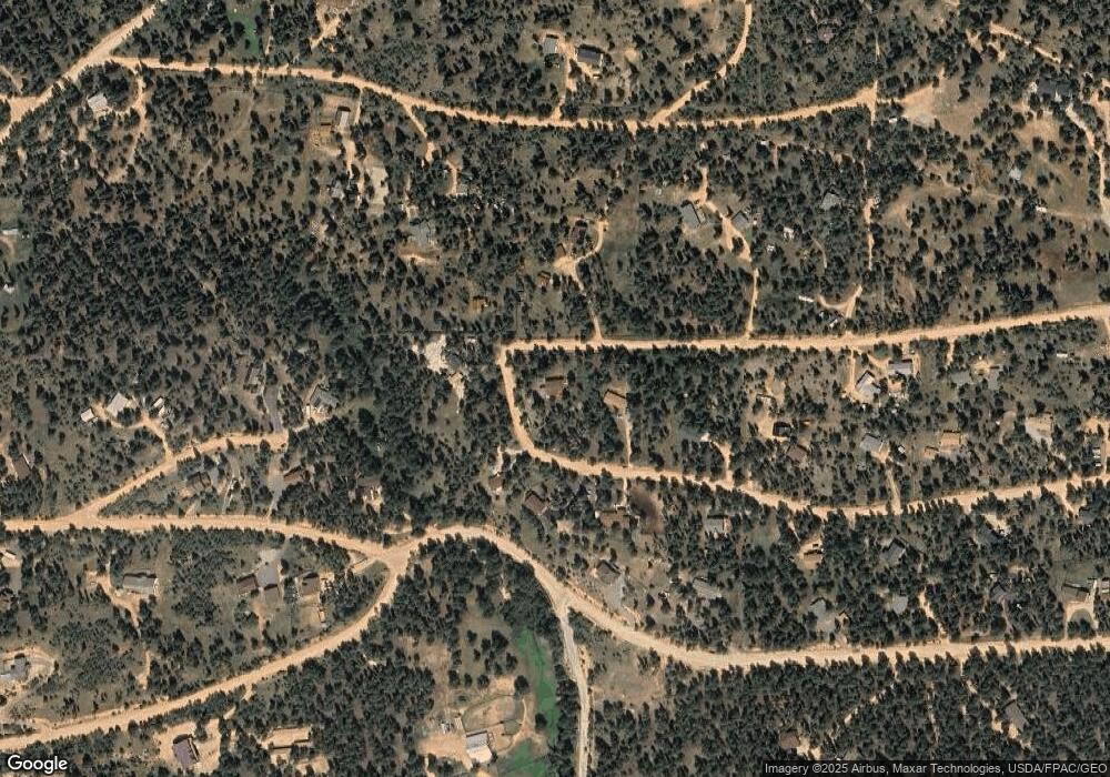
Map
Nearby Homes
- 64 Elk Horn Ct
- 560 Gunsmoke Dr
- 567 Forest Dr
- 84 Marys Ln
- 72 Ridge Ln
- 4346 County Road 43
- 700 Old Sawmill Rd
- 56 Bounty Hunter Ln
- 3763 County Road 43
- 131 Hitchrack Rd
- 1525 Vigilante Ave
- 225 Renaud Rd
- 430 Lakeview Rd Unit 10, 11, 12 AND 13
- 103 Gross Rd
- 1430 Shelton Dr Unit Block 099 Lot 20 AND
- 72 Hall Rd
- 414 Hall Rd
- 342 & 366 Brown Rd Unit 70,71,72,73
- 395 Jones Rd
- 50 Road P78
- 825 Gunsmoke Dr Unit 2
- 912 Gunsmoke Dr
- 856 Gunsmoke Dr
- 834 Gunsmoke Dr
- 826 Gunsmoke Dr
- 170 Elk Horn Ct
- 781 Gunsmoke Dr
- 170 Elk Horn Dr
- 429 Vigilante Ave
- 160 Elk Horn Dr
- 299 Vigilante Ave
- 160 Elk Horn Ct
- 778 Gunsmoke Dr
- 143 Bad Bandit Ct
- 250 Elk Horn Dr
- 250 Elk Horn Ct
- 739 Gunsmoke Dr
- 461 Vigilante Ave
- 142 Bad Bandit Ct
- 0 Elk Horn Ct Unit 4438787