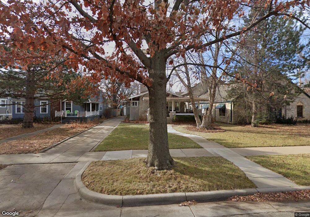
867 N Spaulding Ave Wichita, KS 67203
Riverside NeighborhoodEstimated Value: $234,352 - $266,000
2
Beds
2
Baths
1,686
Sq Ft
$148/Sq Ft
Est. Value
About This Home
This home is located at 867 N Spaulding Ave, Wichita, KS 67203 and is currently estimated at $250,176, approximately $148 per square foot. 867 N Spaulding Ave is a home located in Sedgwick County with nearby schools including Riverside Leadership Magnet Elementary School, Marshall Middle School, and Wichita North High School.
Ownership History
Date
Name
Owned For
Owner Type
Purchase Details
Closed on
Jul 25, 2016
Sold by
Bishop Kathryn D
Bought by
Coffman John D
Current Estimated Value
Purchase Details
Closed on
May 26, 1998
Sold by
Federal National Mortgage Association
Bought by
Coffman John D
Home Financials for this Owner
Home Financials are based on the most recent Mortgage that was taken out on this home.
Original Mortgage
$68,850
Interest Rate
7.27%
Create a Home Valuation Report for This Property
The Home Valuation Report is an in-depth analysis detailing your home's value as well as a comparison with similar homes in the area
Home Values in the Area
Average Home Value in this Area
Purchase History
| Date | Buyer | Sale Price | Title Company |
|---|---|---|---|
| Coffman John D | -- | Security 1St Title | |
| Coffman John D | -- | -- |
Source: Public Records
Mortgage History
| Date | Status | Borrower | Loan Amount |
|---|---|---|---|
| Previous Owner | Coffman John D | $68,850 |
Source: Public Records
Tax History Compared to Growth
Tax History
| Year | Tax Paid | Tax Assessment Tax Assessment Total Assessment is a certain percentage of the fair market value that is determined by local assessors to be the total taxable value of land and additions on the property. | Land | Improvement |
|---|---|---|---|---|
| 2025 | $2,328 | $23,564 | $5,014 | $18,550 |
| 2023 | $2,328 | $19,481 | $3,404 | $16,077 |
| 2022 | $2,159 | $19,482 | $3,209 | $16,273 |
| 2021 | $2,037 | $17,871 | $2,162 | $15,709 |
| 2020 | $1,874 | $16,399 | $2,162 | $14,237 |
| 2019 | $1,768 | $15,468 | $2,162 | $13,306 |
| 2018 | $1,673 | $14,617 | $2,346 | $12,271 |
| 2017 | $1,598 | $0 | $0 | $0 |
| 2016 | $1,551 | $0 | $0 | $0 |
| 2015 | $1,540 | $0 | $0 | $0 |
| 2014 | $1,433 | $0 | $0 | $0 |
Source: Public Records
Map
Nearby Homes
- 860 N Faulkner Ave
- 832 N Faulkner St
- 834 N Nims St
- 1201 W River Blvd
- 827 N Litchfield Ave
- 815 N Litchfield Ave
- 705 N Stackman Dr
- 939 N Litchfield Ave
- 1115 N Pearce St
- 1401 W River Blvd
- 1028 N Porter Ave
- 919 W 12th St N
- 906 N Perry Ave
- 1103 N Jackson Ave
- 2016 W 12th St N
- 2029 W 12th St N
- 2036 W 12th St N
- 2028 W 12th St N
- 1226 N Lewellen St
- 510 N Fern Ave
- 863 N Spaulding Ave
- 835 N Spaulding Ave
- 1117 W Franklin St
- 1117 W Franklin St Unit 872 N Spaulding and
- 831 N Spaulding Ave
- 868 N Gilman St
- 866 N Gilman St
- 1102 W Franklin St
- 856 N Gilman St
- 825 N Spaulding Ave
- 870 N Gilman St
- 850 N Gilman St
- 862 N Spaulding Ave
- 872 N Spaulding Ave Unit 1117 Franklin and mo
- 856 N Spaulding Ave
- 848 N Gilman St
- 1118 W Franklin St
- 901 N Spaulding Ave
- 840 N Spaulding Ave
- 821 N Spaulding Ave