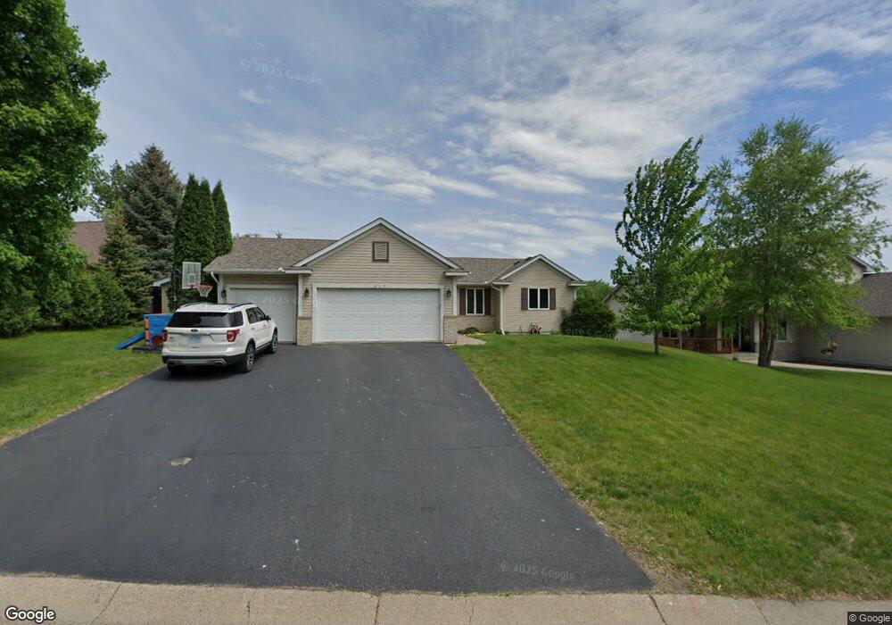
867 Quail Ct Watertown, MN 55388
Estimated Value: $345,000 - $359,000
4
Beds
2
Baths
1,192
Sq Ft
$295/Sq Ft
Est. Value
About This Home
This home is located at 867 Quail Ct, Watertown, MN 55388 and is currently estimated at $351,316, approximately $294 per square foot. 867 Quail Ct is a home located in Carver County with nearby schools including Watertown-Mayer Elementary School, Watertown-Mayer Middle School, and Watertown Mayer High School.
Ownership History
Date
Name
Owned For
Owner Type
Purchase Details
Closed on
May 17, 2010
Sold by
Lofquist Jeffrey D
Bought by
Lenz Charity J and Janikwa Rod W
Current Estimated Value
Home Financials for this Owner
Home Financials are based on the most recent Mortgage that was taken out on this home.
Original Mortgage
$180,568
Outstanding Balance
$123,663
Interest Rate
5.5%
Mortgage Type
FHA
Estimated Equity
$227,653
Purchase Details
Closed on
Jun 2, 1998
Sold by
Ground Development Inc
Bought by
Lofquist Jeffrey D
Create a Home Valuation Report for This Property
The Home Valuation Report is an in-depth analysis detailing your home's value as well as a comparison with similar homes in the area
Home Values in the Area
Average Home Value in this Area
Purchase History
| Date | Buyer | Sale Price | Title Company |
|---|---|---|---|
| Lenz Charity J | $183,000 | -- | |
| Lofquist Jeffrey D | $35,900 | -- |
Source: Public Records
Mortgage History
| Date | Status | Borrower | Loan Amount |
|---|---|---|---|
| Open | Lenz Charity J | $180,568 |
Source: Public Records
Tax History Compared to Growth
Tax History
| Year | Tax Paid | Tax Assessment Tax Assessment Total Assessment is a certain percentage of the fair market value that is determined by local assessors to be the total taxable value of land and additions on the property. | Land | Improvement |
|---|---|---|---|---|
| 2025 | $3,348 | $297,400 | $80,000 | $217,400 |
| 2024 | $3,326 | $284,000 | $80,000 | $204,000 |
| 2023 | $3,256 | $283,700 | $80,000 | $203,700 |
| 2022 | $3,000 | $282,900 | $72,600 | $210,300 |
| 2021 | $3,048 | $219,500 | $60,500 | $159,000 |
| 2020 | $3,076 | $219,500 | $60,500 | $159,000 |
| 2019 | $2,918 | $210,800 | $57,600 | $153,200 |
| 2018 | $2,622 | $210,800 | $57,600 | $153,200 |
| 2017 | $2,796 | $182,400 | $47,600 | $134,800 |
| 2016 | $2,768 | $168,600 | $0 | $0 |
| 2015 | $2,412 | $152,000 | $0 | $0 |
| 2014 | $2,412 | $131,500 | $0 | $0 |
Source: Public Records
Map
Nearby Homes
- 865 Quail Ct
- XXX Newton Ave SE
- 593 Sienna Dr
- 578 Sienna Dr
- 1201 Bishop Cir
- 1221 Bishop Cir
- 1290 Knight Ln
- 12120 County Road 24
- 313 Angel Ave SW
- 555 Industrial Blvd
- 829 Reo Rd
- 536 Industrial Blvd
- 575 Industrial Blvd
- 115 Riverside Terrace Dr Unit 115
- 408 Franklin Ave SW
- 516 Industrial Blvd
- 600 Jefferson Ave SW
- 1316 Balsam Ln
- xxx Stevens St SW
- 613 Hawthorne Ln