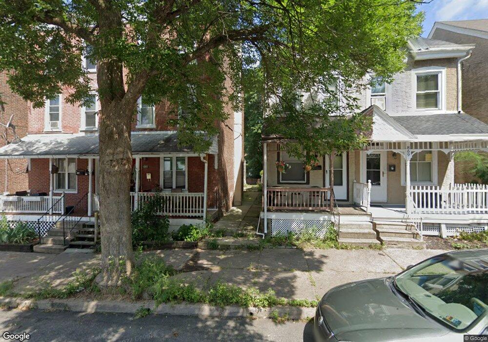
867 Queen St Pottstown, PA 19464
East End South NeighborhoodEstimated Value: $126,294 - $203,000
2
Beds
1
Bath
1,104
Sq Ft
$162/Sq Ft
Est. Value
About This Home
This home is located at 867 Queen St, Pottstown, PA 19464 and is currently estimated at $178,824, approximately $161 per square foot. 867 Queen St is a home located in Montgomery County with nearby schools including Pottstown Middle School, Pottstown Senior High School, and Saint Aloysius Parish School.
Ownership History
Date
Name
Owned For
Owner Type
Purchase Details
Closed on
Jan 9, 2006
Sold by
Fisher Robert W and Fisher Michelle R
Bought by
Mcblane George and Mcblane Amy
Current Estimated Value
Purchase Details
Closed on
Jul 24, 2003
Sold by
Lombardi James P
Bought by
Fisher Michelle R and Fisher Robert W
Purchase Details
Closed on
Apr 20, 2001
Sold by
Lombardi James P and Lombardi Vincent J
Bought by
Lombardi James P
Purchase Details
Closed on
Feb 19, 1999
Sold by
Federal National Mortgage Association
Bought by
Lombardi James P and Lombardi Vincent J
Purchase Details
Closed on
Aug 11, 1998
Sold by
Pnc Mtg Corp Of America
Bought by
Federal National Mortgage Association
Create a Home Valuation Report for This Property
The Home Valuation Report is an in-depth analysis detailing your home's value as well as a comparison with similar homes in the area
Home Values in the Area
Average Home Value in this Area
Purchase History
| Date | Buyer | Sale Price | Title Company |
|---|---|---|---|
| Mcblane George | $73,500 | None Available | |
| Fisher Michelle R | $67,000 | -- | |
| Lombardi James P | -- | -- | |
| Lombardi James P | $25,000 | -- | |
| Federal National Mortgage Association | $5,000 | -- |
Source: Public Records
Tax History
| Year | Tax Paid | Tax Assessment Tax Assessment Total Assessment is a certain percentage of the fair market value that is determined by local assessors to be the total taxable value of land and additions on the property. | Land | Improvement |
|---|---|---|---|---|
| 2025 | $2,940 | $47,900 | -- | -- |
| 2024 | $2,940 | $47,900 | -- | -- |
| 2023 | $2,900 | $47,900 | $0 | $0 |
| 2022 | $2,885 | $47,900 | $0 | $0 |
| 2021 | $2,852 | $47,900 | $0 | $0 |
| 2020 | $2,802 | $47,900 | $0 | $0 |
| 2019 | $2,737 | $47,900 | $0 | $0 |
Source: Public Records
Map
Nearby Homes
- 923 Queen St Unit 32
- 944 E High St
- 55 Edgewood St
- 1009 Queen St
- 635 Chestnut St
- 642 Walnut St
- 1115 South St
- 725 Lincoln Ave
- 648 Lincoln Ave
- 1150 Queen St
- 535 E High St
- 226 N Warren St
- 544 Walnut St
- 556 Beech St Unit 102
- 184 S Roland St
- 1239 South St
- 1240 E High St
- 431 Cherry St
- 527 May St
- 551 West St
Your Personal Tour Guide
Ask me questions while you tour the home.