867 River Rd Bluemont, VA 20135
Estimated Value: $815,000 - $2,067,753
5
Beds
4
Baths
5,064
Sq Ft
$297/Sq Ft
Est. Value
About This Home
This home is located at 867 River Rd, Bluemont, VA 20135 and is currently estimated at $1,505,918, approximately $297 per square foot. 867 River Rd is a home located in Clarke County with nearby schools including Clarke County High School.
Ownership History
Date
Name
Owned For
Owner Type
Purchase Details
Closed on
Feb 25, 2025
Sold by
North Oliver L
Bought by
Oliver North Revocable Agreement Of Trust and North
Current Estimated Value
Purchase Details
Closed on
Apr 29, 2022
Sold by
North Oliver L and North Elizabeth S
Bought by
North Oliver L and North Elizabeth S
Purchase Details
Closed on
Dec 24, 2012
Sold by
North Oliver and North Elizabeth S
Bought by
North Dornin Anne
Purchase Details
Closed on
Aug 1, 2012
Sold by
North Oliver L and North Elizabeth S
Bought by
North Oliver
Create a Home Valuation Report for This Property
The Home Valuation Report is an in-depth analysis detailing your home's value as well as a comparison with similar homes in the area
Home Values in the Area
Average Home Value in this Area
Purchase History
| Date | Buyer | Sale Price | Title Company |
|---|---|---|---|
| Oliver North Revocable Agreement Of Trust | -- | None Listed On Document | |
| North Oliver L | -- | -- | |
| North Oliver L | -- | None Listed On Document | |
| North Dornin Anne | -- | None Available | |
| North Oliver | -- | None Available |
Source: Public Records
Tax History Compared to Growth
Tax History
| Year | Tax Paid | Tax Assessment Tax Assessment Total Assessment is a certain percentage of the fair market value that is determined by local assessors to be the total taxable value of land and additions on the property. | Land | Improvement |
|---|---|---|---|---|
| 2025 | $4,528 | $1,937,700 | $1,164,000 | $773,700 |
| 2024 | $5,031 | $1,333,900 | $671,800 | $662,100 |
| 2023 | $5,031 | $1,333,900 | $671,800 | $662,100 |
| 2022 | $5,115 | $1,333,900 | $671,800 | $662,100 |
| 2021 | $8,137 | $1,333,900 | $671,800 | $662,100 |
| 2020 | $5,287 | $1,333,900 | $671,800 | $662,100 |
| 2019 | $5,287 | $1,240,100 | $645,800 | $594,300 |
| 2018 | $5,287 | $1,240,100 | $645,800 | $594,300 |
| 2017 | $5,287 | $1,240,100 | $645,800 | $594,300 |
| 2016 | -- | $1,240,100 | $645,800 | $594,300 |
| 2015 | -- | $1,403,400 | $791,000 | $612,400 |
| 2014 | -- | $1,403,400 | $791,000 | $612,400 |
Source: Public Records
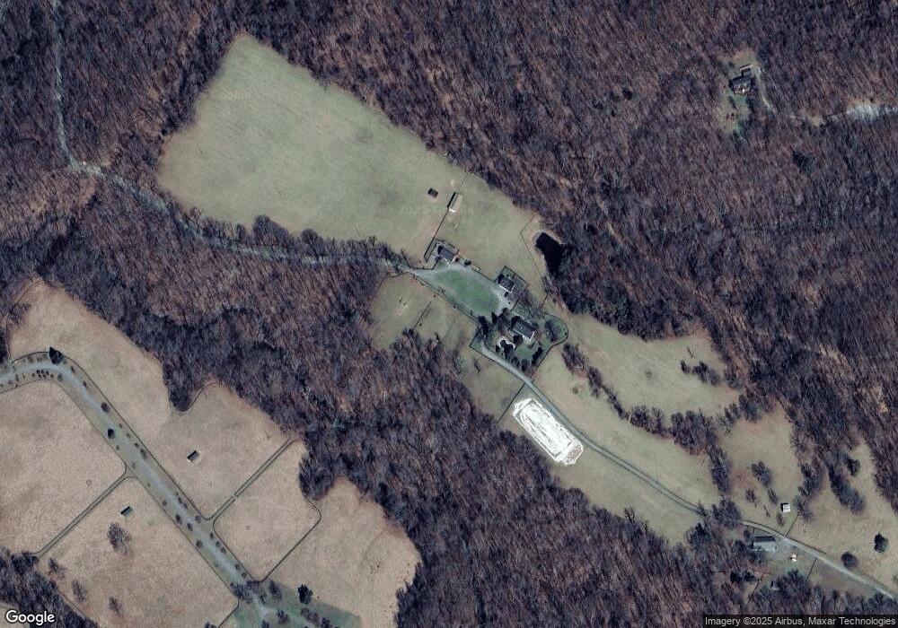
Map
Nearby Homes
- 0 Parker Ln
- 246 Laurel Ln
- 0 Laurel Ln Unit VACL2003392
- 387 Laurel Ln
- 0 Timber Ln
- 17A1-5-15 Timber Ln
- 598 Timber Ln
- 0 Honeysuckle Ln Unit VACL2003904
- 622 Timber Ln
- 0 Beechwood Ln Unit VACL2003394
- 303 Alder Ln
- 420 White Oak Ln
- 32651 Mount Weather Rd
- Lot 24 Maple Ln
- 19488 Blueridge Mountain Rd
- 558 Hemlock Ln
- Lot 6 Hackberry Ln
- 440 Redbud Ln
- 33563 Snickersville Turnpike
- 18344 Railroad St