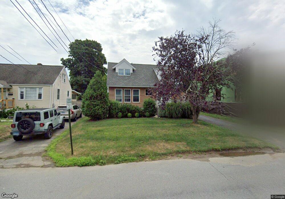
867 Riverside Dr Fairfield, CT 06824
Fairfield Beach NeighborhoodEstimated Value: $974,112 - $1,031,000
3
Beds
3
Baths
1,352
Sq Ft
$744/Sq Ft
Est. Value
About This Home
This home is located at 867 Riverside Dr, Fairfield, CT 06824 and is currently estimated at $1,006,028, approximately $744 per square foot. 867 Riverside Dr is a home located in Fairfield County with nearby schools including Roger Sherman Elementary School, Roger Ludlowe Middle School, and Fairfield Ludlowe High School.
Ownership History
Date
Name
Owned For
Owner Type
Purchase Details
Closed on
May 15, 2012
Sold by
Motasky Richard
Bought by
Black Janette
Current Estimated Value
Home Financials for this Owner
Home Financials are based on the most recent Mortgage that was taken out on this home.
Original Mortgage
$265,520
Outstanding Balance
$184,826
Interest Rate
4%
Estimated Equity
$821,202
Purchase Details
Closed on
Jul 29, 1999
Sold by
Dickinson George and Dickinson Vivian M
Bought by
Motasky Richard F and Dickinson Patricia E
Create a Home Valuation Report for This Property
The Home Valuation Report is an in-depth analysis detailing your home's value as well as a comparison with similar homes in the area
Home Values in the Area
Average Home Value in this Area
Purchase History
| Date | Buyer | Sale Price | Title Company |
|---|---|---|---|
| Black Janette | $331,900 | -- | |
| Black Janette | $331,900 | -- | |
| Motasky Richard F | $165,000 | -- | |
| Motasky Richard F | $165,000 | -- |
Source: Public Records
Mortgage History
| Date | Status | Borrower | Loan Amount |
|---|---|---|---|
| Open | Motasky Richard F | $100,000 | |
| Open | Motasky Richard F | $265,520 | |
| Closed | Motasky Richard F | $265,520 |
Source: Public Records
Tax History
| Year | Tax Paid | Tax Assessment Tax Assessment Total Assessment is a certain percentage of the fair market value that is determined by local assessors to be the total taxable value of land and additions on the property. | Land | Improvement |
|---|---|---|---|---|
| 2025 | $10,982 | $386,820 | $291,480 | $95,340 |
| 2024 | $10,792 | $386,820 | $291,480 | $95,340 |
| 2023 | $10,641 | $386,820 | $291,480 | $95,340 |
| 2022 | $10,537 | $386,820 | $291,480 | $95,340 |
| 2021 | $10,436 | $386,820 | $291,480 | $95,340 |
| 2020 | $8,932 | $333,410 | $258,370 | $75,040 |
| 2019 | $8,932 | $333,410 | $258,370 | $75,040 |
| 2018 | $8,789 | $333,410 | $258,370 | $75,040 |
| 2017 | $8,609 | $333,410 | $258,370 | $75,040 |
| 2016 | $8,485 | $333,410 | $258,370 | $75,040 |
| 2015 | $7,896 | $318,500 | $265,300 | $53,200 |
| 2014 | $7,771 | $318,500 | $265,300 | $53,200 |
Source: Public Records
Map
Nearby Homes
- 855 Riverside Dr
- 598 S Benson Rd
- 378 Penfield Rd
- 394 Penfield Rd
- 126 Lalley Blvd
- 164 Wakeman Rd
- 20 Ermine St
- 345 Reef Rd Unit B6
- 345 Reef Rd Unit C9
- 315 Seaside Ave
- 77 Meadowbrook Rd
- 510 Reef Rd
- 245 Unquowa Rd Unit 82
- 187 Catherine Terrace
- 783 Reef Rd
- 88 Veres St
- 90 Clarkson St
- 377 Midland St
- 610 Unquowa Rd
- 3250 Fairfield Ave Unit 302
- 887 Riverside Dr
- 847 Riverside Dr
- 96 Clinton St
- 118 Clinton St
- 110 Clinton St
- 897 Riverside Dr
- 835 Riverside Dr
- 86 Clinton St
- 128 Clinton St
- 836 Riverside Dr
- 836 Riverside Dr Unit A
- 836 Riverside Dr Unit B
- 856 Riverside Dr
- 876 Riverside Dr
- 76 Clinton St
- 844 Riverside Dr
- 827 Riverside Dr
- 375 S Benson Rd
- 896 Riverside Dr
- 66 Clinton St
Your Personal Tour Guide
Ask me questions while you tour the home.