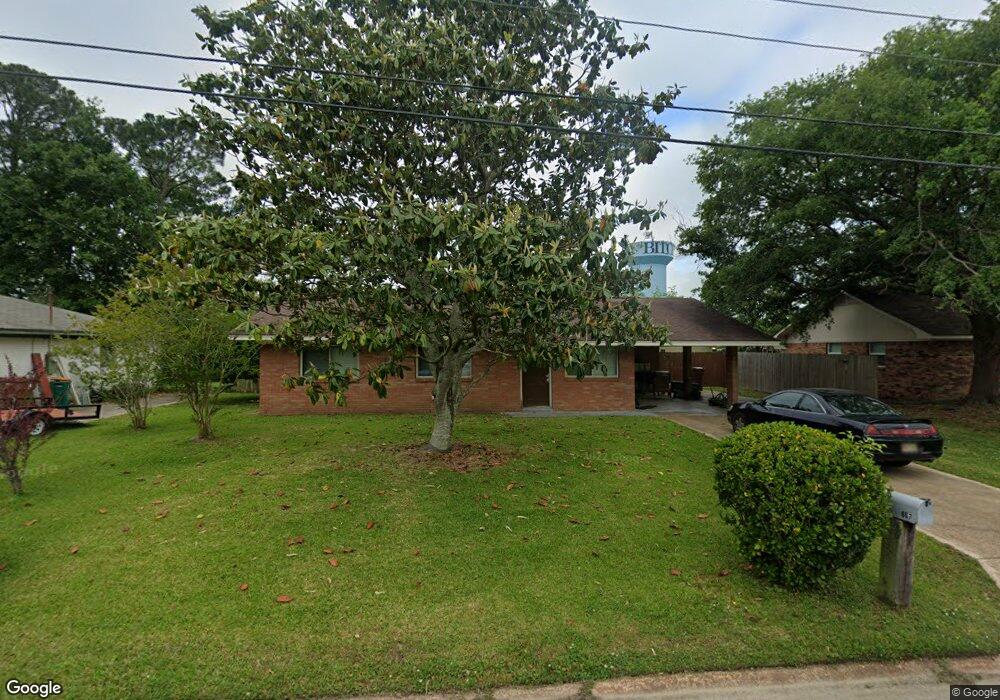
867 Rustwood Dr Biloxi, MS 39532
Biloxi AreaEstimated Value: $157,925 - $214,000
About This Home
This home is located at 867 Rustwood Dr, Biloxi, MS 39532 and is currently estimated at $188,981, approximately $134 per square foot. 867 Rustwood Dr is a home located in Harrison County with nearby schools including North Bay Elementary School, Biloxi Junior High School, and Biloxi High School.
Ownership History
We collect this data history from publicly available records. To have your information removed, we recommend requesting removal directly through your county’s website.
Purchase Details
Purchase Details
Purchase Details
Home Values in the Area
Average Home Value in this Area
Purchase History
We collect this data history from publicly available records. To have your information removed, we recommend requesting removal directly through your county’s website.
| Date | Buyer | Sale Price | Title Company |
|---|---|---|---|
| -- | None Listed On Document | ||
| -- | None Listed On Document | ||
| -- | -- | ||
| -- | -- |
Tax History
We collect this data history from publicly available records. To have your information removed, we recommend requesting removal directly through your county’s website.
| Year | Tax Paid | Tax Assessment Tax Assessment Total Assessment is a certain percentage of the fair market value that is determined by local assessors to be the total taxable value of land and additions on the property. | Land | Improvement |
|---|---|---|---|---|
| 2025 | $903 | $9,422 | $0 | $0 |
| 2024 | $1,354 | $12,225 | $0 | $0 |
| 2023 | $745 | $8,150 | $0 | $0 |
| 2022 | $745 | $8,150 | $0 | $0 |
| 2021 | $745 | $8,150 | $0 | $0 |
| 2020 | $666 | $7,425 | $0 | $0 |
| 2019 | $641 | $7,148 | $0 | $0 |
| 2018 | $641 | $7,148 | $0 | $0 |
| 2017 | $641 | $7,148 | $0 | $0 |
| 2015 | $673 | $7,493 | $0 | $0 |
| 2014 | -- | $4,618 | $0 | $0 |
| 2013 | -- | $7,493 | $2,875 | $4,618 |
Map
- 2071 Stone Bridge Dr
- 2187 Baywood Dr
- 0 Popps Ferry Rd Unit 4138386
- 0 Popps Ferry Rd Unit 4108141
- 0 Popps Ferry Rd Unit 4108136
- 897 Auburn Dr
- 915 Wildwood Ln
- 751 Canterbury Dr
- 757 Highland Dr
- 2215 Popps Ferry Rd
- 918 N Country Club Ln
- 734 Canterbury Dr
- 2022 Lantana Cove
- 2225 Popps Ferry Rd
- 2033 S Hill Dr
- 0 Jam Ln
- 745 Champagne Dr
- 1990 Brasher Rd
- 615 N Haven Dr
- 2265 Popp's Ferry Rd
- 866 Rustwood Dr
- 862 Rustwood Dr
- 870 Rustwood Dr
- 2068 Carolwood Dr
- 2066 Carolwood Dr
- 863 Rustwood Dr
- 2070 Carolwood Dr
- 859 Rustwood Dr
- 871 Rustwood Dr
- 2073 Stone Bridge Dr
- 852 Rustwood Dr
- 2072 Carolwood Dr
- 2064 Carolwood Dr
- 855 Rustwood Dr
- 878 Rustwood Dr
- 854 Ravenwood Ct
- 875 Rustwood Dr
- 850 Ravenwood Ct
- 858 Ravenwood Ct
- 2069 Stone Bridge Dr
Ask me questions while you tour the home.