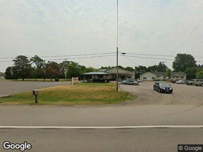
867 W Chicago Rd Bronson, MI 49028
--
Bed
--
Bath
--
Sq Ft
0.47
Acres
About This Home
This home is located at 867 W Chicago Rd, Bronson, MI 49028. 867 W Chicago Rd is a home located in Branch County with nearby schools including Ryan Elementary School, Anderson Elementary School, and Bronson Junior/Senior High School.
Ownership History
Date
Name
Owned For
Owner Type
Purchase Details
Closed on
Jun 9, 2014
Sold by
Consumers Credit Union
Bought by
Discount Foods Of Bronsom Llc
Purchase Details
Closed on
Feb 14, 2012
Sold by
Labelle Ron A and Labelle Vicki L
Bought by
Consumers Credit Union
Purchase Details
Closed on
Sep 15, 2010
Sold by
Stempien Leonard and Stempien Julie
Bought by
Labelle Ron A and Labelle Vicki L
Purchase Details
Closed on
Jun 21, 2010
Sold by
Labelle Ron A and Labelle Vicki L
Bought by
Stempien Leonard and Stempien Julie
Purchase Details
Closed on
Feb 10, 2004
Sold by
Cranson Michael M and Cranson Alice M
Bought by
Labelle Ron and Labelle Vicki
Home Financials for this Owner
Home Financials are based on the most recent Mortgage that was taken out on this home.
Original Mortgage
$14,800
Interest Rate
5.91%
Mortgage Type
Commercial
Create a Home Valuation Report for This Property
The Home Valuation Report is an in-depth analysis detailing your home's value as well as a comparison with similar homes in the area
Home Values in the Area
Average Home Value in this Area
Purchase History
| Date | Buyer | Sale Price | Title Company |
|---|---|---|---|
| Discount Foods Of Bronsom Llc | $38,900 | Devon Title Agency | |
| Consumers Credit Union | -- | None Available | |
| Labelle Ron A | -- | None Available | |
| Stempien Leonard | -- | Branch County Abstract & Tit | |
| Labelle Ron | $18,500 | Branch County Abstract & Tit |
Source: Public Records
Mortgage History
| Date | Status | Borrower | Loan Amount |
|---|---|---|---|
| Previous Owner | Labelle Ron | $0 | |
| Previous Owner | Labelle Ron | $14,800 |
Source: Public Records
Tax History Compared to Growth
Tax History
| Year | Tax Paid | Tax Assessment Tax Assessment Total Assessment is a certain percentage of the fair market value that is determined by local assessors to be the total taxable value of land and additions on the property. | Land | Improvement |
|---|---|---|---|---|
| 2024 | $995 | $101,636 | $0 | $0 |
| 2023 | $995 | $100,871 | $0 | $0 |
| 2022 | $995 | $98,651 | $0 | $0 |
| 2021 | -- | $89,034 | $0 | $0 |
| 2020 | -- | $94,972 | $0 | $0 |
| 2019 | -- | $64,886 | $0 | $0 |
| 2018 | -- | $63,388 | $0 | $0 |
| 2017 | -- | $63,929 | $0 | $0 |
| 2016 | -- | $65,830 | $0 | $0 |
| 2015 | -- | $82,826 | $0 | $0 |
| 2014 | -- | $46,765 | $0 | $0 |
| 2013 | -- | $51,489 | $0 | $0 |
Source: Public Records
Map
Nearby Homes
- 521 W Chicago St
- 235 N Douglas St
- 640 S Walker St
- 150 Washington St
- 737 N Matteson St
- 850 Horkey Rd
- 130 Osborn Rd
- 363 Cove Resort Dr
- 234 S Snow Prairie Rd
- 440 Sprung Lake Dr
- 0 S Snow Prairie Rd
- 812 George Rd
- 789 Gilead Shores Dr
- 814 Shawnee Beach Dr
- 674 Booth Rd
- 0 Langwell Rd Unit 50169256
- 63810 Middle Colon Rd
- 63890 Middle Colon Rd
- 60180 S Burr Oak Rd
- 204 W Hatmaker Rd