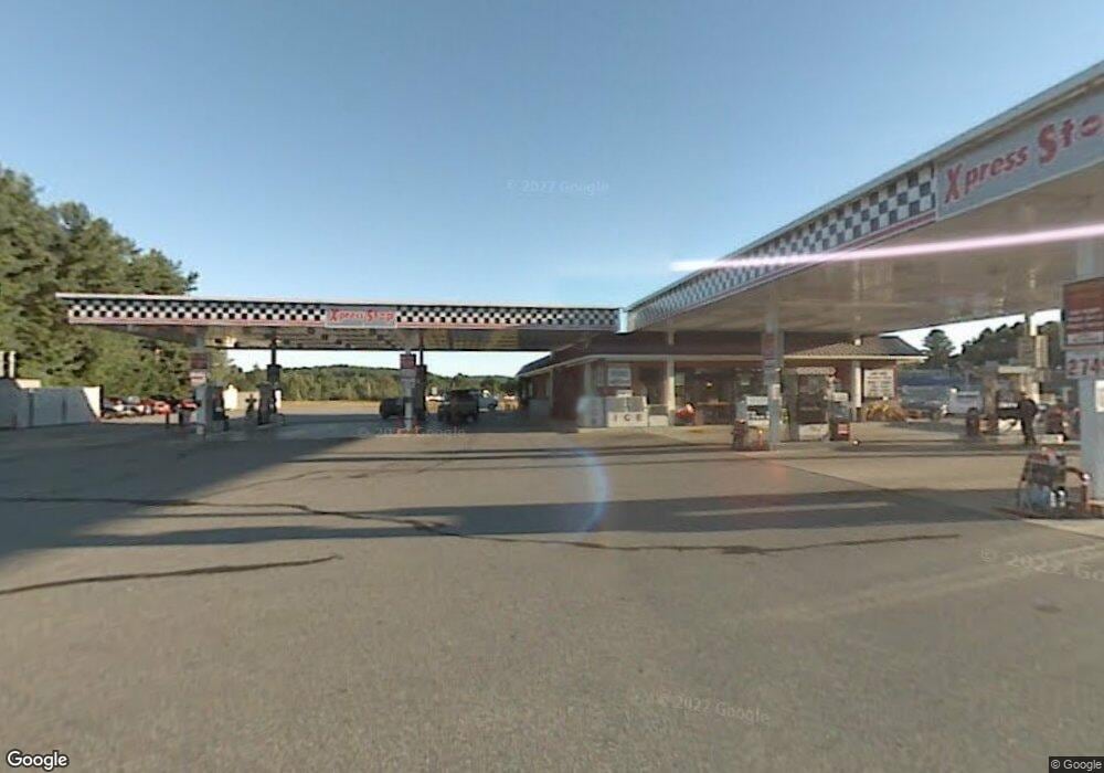
867 Western Ave Manchester, ME 04351
Estimated Value: $1,833,314
--
Bed
--
Bath
19,360
Sq Ft
$95/Sq Ft
Est. Value
About This Home
This home is located at 867 Western Ave, Manchester, ME 04351 and is currently priced at $1,833,314, approximately $94 per square foot. 867 Western Ave is a home located in Kennebec County with nearby schools including St. Michael School.
Ownership History
Date
Name
Owned For
Owner Type
Purchase Details
Closed on
Oct 18, 2021
Sold by
F L Roberts & Co Inc
Bought by
E23 Llc
Current Estimated Value
Purchase Details
Closed on
Aug 21, 2020
Sold by
F L Roberts & Co Inc
Bought by
Reb Holdings Llc
Home Financials for this Owner
Home Financials are based on the most recent Mortgage that was taken out on this home.
Original Mortgage
$1,150,000
Interest Rate
3.1%
Mortgage Type
New Conventional
Purchase Details
Closed on
Jun 24, 2020
Sold by
Nouria Energy Manchester
Bought by
F L Roberts & Co Inc
Home Financials for this Owner
Home Financials are based on the most recent Mortgage that was taken out on this home.
Original Mortgage
$1,150,000
Interest Rate
3.1%
Mortgage Type
New Conventional
Create a Home Valuation Report for This Property
The Home Valuation Report is an in-depth analysis detailing your home's value as well as a comparison with similar homes in the area
Home Values in the Area
Average Home Value in this Area
Purchase History
| Date | Buyer | Sale Price | Title Company |
|---|---|---|---|
| E23 Llc | $1,625,000 | None Available | |
| Reb Holdings Llc | -- | None Available | |
| Reb Holdings Llc | -- | None Available | |
| Reb Holdings Llc | -- | None Available | |
| F L Roberts & Co Inc | $1,270,000 | None Available | |
| F L Roberts & Co Inc | $1,270,000 | None Available | |
| F L Roberts & Co Inc | $1,270,000 | None Available |
Source: Public Records
Mortgage History
| Date | Status | Borrower | Loan Amount |
|---|---|---|---|
| Previous Owner | F L Roberts & Co Inc | $1,150,000 |
Source: Public Records
Tax History Compared to Growth
Tax History
| Year | Tax Paid | Tax Assessment Tax Assessment Total Assessment is a certain percentage of the fair market value that is determined by local assessors to be the total taxable value of land and additions on the property. | Land | Improvement |
|---|---|---|---|---|
| 2024 | $19,487 | $1,173,900 | $239,200 | $934,700 |
| 2023 | $18,765 | $1,130,400 | $239,200 | $891,200 |
| 2022 | $18,489 | $1,173,900 | $239,200 | $934,700 |
| 2021 | $18,778 | $1,173,600 | $239,200 | $934,400 |
Source: Public Records
Map
Nearby Homes
- 693- B Western Ave
- 0 Cross St
- 0 Ingraham St
- 33 Woodridge Dr
- 26 Peggy Ln
- 43 Estates Dr Unit 1
- 35 Estates Dr Unit 3
- 226 Pond Rd
- 2549 US Route 202
- 424 Winthrop St
- 0 Allen Hill Ln
- 165 Wade Rd
- 3 Tallwood Rd
- TBD Pond Rd
- 19 Windy Meadows Dr
- 11 Sunrise Dr
- 13 Tibbetts St
- Lot 14D Western Ave
- Lot 14 Western Ave
- 252 Meadowhill Rd
- 6 Old Winthrop Rd
- 0 Rt 202 Western
- 0 Route 202 Unit 494055
- 0 Route 202 Unit 493505
- 0 Route 202 Unit 467427
- 0 Route 202 Unit 470117
- 0 Route 202 Unit 467431
- 0 Rt 17 Lot #2
- 0 Route 202 Unit 374599
- 0 Route 202 Unit 310507
- 0 Route 202 Unit 310505
- 0 Route 202 Unit 276086
- 0 Route 202 Unit 271431
- 0 Route 202 Unit 271430
- 0 Route 202 Unit 260274
- 0 Route 202 Unit 259716
- 0 Route 202 Unit 257806
- 0 Route 202 Unit 231192
- 0 Route 202 Unit 214800
- 0 Route 202 Unit 214801