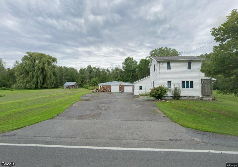
8678 Lewis Point Rd Canastota, NY 13032
Estimated Value: $152,000 - $259,000
3
Beds
1
Bath
1,384
Sq Ft
$140/Sq Ft
Est. Value
About This Home
This home is located at 8678 Lewis Point Rd, Canastota, NY 13032 and is currently estimated at $193,659, approximately $139 per square foot. 8678 Lewis Point Rd is a home located in Madison County with nearby schools including Peterboro Street Elementary School, Roberts Street Middle School, and South Side Elementary School.
Ownership History
Date
Name
Owned For
Owner Type
Purchase Details
Closed on
Aug 27, 2014
Sold by
Gratton Leighton J
Bought by
Curtis Thomas J and Curtis
Current Estimated Value
Home Financials for this Owner
Home Financials are based on the most recent Mortgage that was taken out on this home.
Original Mortgage
$96,021
Outstanding Balance
$73,510
Interest Rate
4.14%
Mortgage Type
Purchase Money Mortgage
Estimated Equity
$120,149
Purchase Details
Closed on
Aug 4, 2003
Create a Home Valuation Report for This Property
The Home Valuation Report is an in-depth analysis detailing your home's value as well as a comparison with similar homes in the area
Home Values in the Area
Average Home Value in this Area
Purchase History
| Date | Buyer | Sale Price | Title Company |
|---|---|---|---|
| Curtis Thomas J | $94,000 | James W Betro | |
| -- | $31,250 | -- |
Source: Public Records
Mortgage History
| Date | Status | Borrower | Loan Amount |
|---|---|---|---|
| Open | Curtis Thomas J | $96,021 |
Source: Public Records
Tax History
| Year | Tax Paid | Tax Assessment Tax Assessment Total Assessment is a certain percentage of the fair market value that is determined by local assessors to be the total taxable value of land and additions on the property. | Land | Improvement |
|---|---|---|---|---|
| 2024 | $3,787 | $82,000 | $42,600 | $39,400 |
| 2023 | $3,159 | $82,000 | $42,600 | $39,400 |
| 2022 | $3,122 | $82,000 | $42,600 | $39,400 |
| 2021 | $3,118 | $82,000 | $42,600 | $39,400 |
| 2020 | $2,840 | $82,000 | $42,600 | $39,400 |
| 2019 | $2,679 | $82,000 | $42,600 | $39,400 |
| 2018 | $2,679 | $82,000 | $42,600 | $39,400 |
| 2017 | $2,645 | $82,000 | $42,600 | $39,400 |
| 2016 | $2,624 | $82,000 | $42,600 | $39,400 |
| 2015 | -- | $82,000 | $42,600 | $39,400 |
| 2014 | -- | $82,000 | $42,600 | $39,400 |
Source: Public Records
Map
Nearby Homes
- 0 Stephens Rd Unit S1580888
- 3605 Route 31
- 2970 Whitelaw Rd W
- 3912 Pine Ridge Rd
- 9106 Arthur Jenkins Rd
- 9181 Old Orchard Rd
- 9176 Arthur Jenkins Rd
- 7988 Warners Rd
- 3006 New York 31
- 0 Route 13 Unit S1355477
- 0 Edward Ohara Ave Unit S1418644
- 0 Edward Ohara Ave Unit S1418656
- 8750 Lake Rd
- 8935 Eddy Rd
- 4 Maple Ave
- 343 N Peterboro St
- 337 N Peterboro St
- 2408 Lake Rd
- 302 N Main St
- 107 Ball Ave
- 8692 Lewis Point Rd
- 8675 Lewis Point Rd
- 3449 Whitelaw Rd
- 8660 Lewis Point Rd
- 3444 Whitelaw Rd
- 8711 Lewis Point Rd
- 8714 Lewis Point Rd
- 3433 Whitelaw Rd
- 8655 Lewis Point Rd
- 8720 Lewis Point Rd
- 8643 Lewis Point Rd
- 3423 Whitelaw Rd
- 3438 Whitelaw Rd E
- 8618 Stephens Rd
- 8632 Lewis Point Rd
- 8599 Stephens Rd
- 8615 Stephens Rd
- 8739 Lewis Point Rd
- 8627 Stephens Rd
- 3401 Whitelaw Rd
Your Personal Tour Guide
Ask me questions while you tour the home.