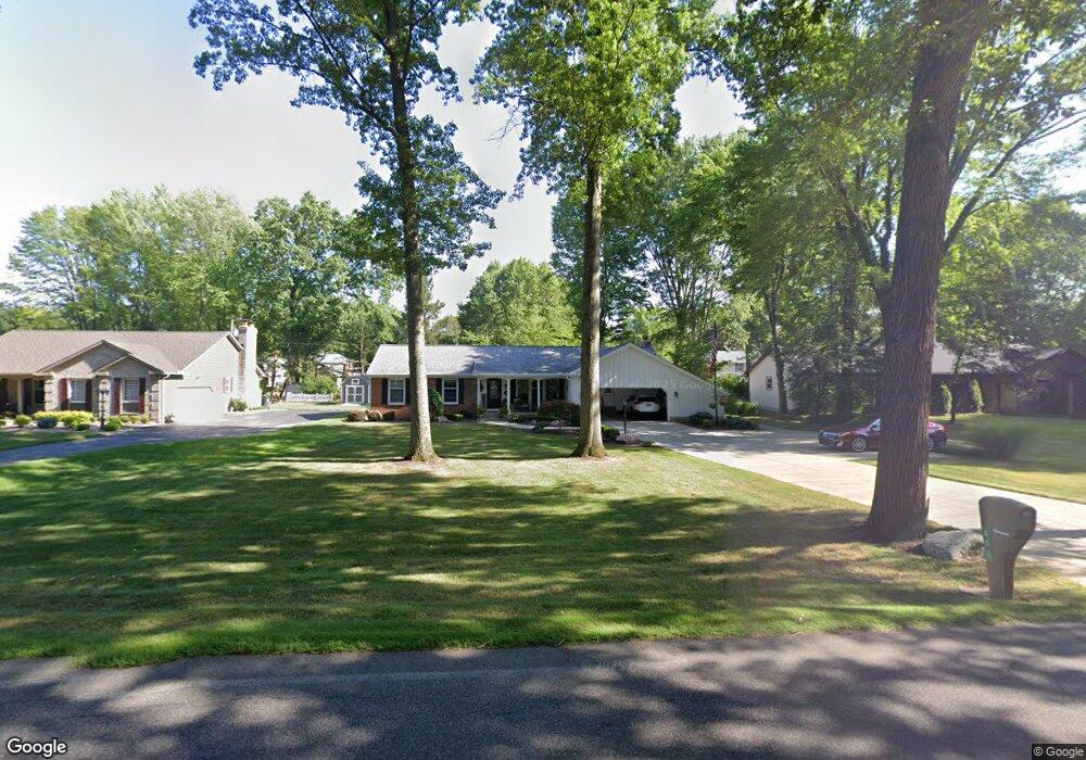
868 Shields Rd Youngstown, OH 44511
Estimated Value: $217,000 - $264,000
3
Beds
2
Baths
1,692
Sq Ft
$143/Sq Ft
Est. Value
About This Home
This home is located at 868 Shields Rd, Youngstown, OH 44511 and is currently estimated at $242,516, approximately $143 per square foot. 868 Shields Rd is a home located in Mahoning County with nearby schools including West Boulevard Elementary School, Boardman Center Middle School, and Boardman High School.
Ownership History
Date
Name
Owned For
Owner Type
Purchase Details
Closed on
Aug 30, 2007
Sold by
Fabrizio Joanne M
Bought by
Luther Ronald T and Luther Maureen
Current Estimated Value
Home Financials for this Owner
Home Financials are based on the most recent Mortgage that was taken out on this home.
Original Mortgage
$58,000
Outstanding Balance
$37,003
Interest Rate
6.72%
Mortgage Type
Purchase Money Mortgage
Estimated Equity
$205,513
Purchase Details
Closed on
Aug 12, 1992
Bought by
Fabrizio Joanne M
Create a Home Valuation Report for This Property
The Home Valuation Report is an in-depth analysis detailing your home's value as well as a comparison with similar homes in the area
Home Values in the Area
Average Home Value in this Area
Purchase History
| Date | Buyer | Sale Price | Title Company |
|---|---|---|---|
| Luther Ronald T | $128,000 | Commonwealth | |
| Fabrizio Joanne M | -- | -- |
Source: Public Records
Mortgage History
| Date | Status | Borrower | Loan Amount |
|---|---|---|---|
| Open | Luther Ronald T | $58,000 |
Source: Public Records
Tax History Compared to Growth
Tax History
| Year | Tax Paid | Tax Assessment Tax Assessment Total Assessment is a certain percentage of the fair market value that is determined by local assessors to be the total taxable value of land and additions on the property. | Land | Improvement |
|---|---|---|---|---|
| 2024 | $2,724 | $63,510 | $11,650 | $51,860 |
| 2023 | $2,719 | $63,510 | $11,650 | $51,860 |
| 2022 | $2,539 | $47,540 | $10,570 | $36,970 |
| 2021 | $2,540 | $47,540 | $10,570 | $36,970 |
| 2020 | $2,553 | $47,540 | $10,570 | $36,970 |
| 2019 | $2,721 | $45,710 | $10,160 | $35,550 |
| 2018 | $2,343 | $45,710 | $10,160 | $35,550 |
| 2017 | $2,249 | $45,710 | $10,160 | $35,550 |
| 2016 | $2,159 | $42,520 | $10,160 | $32,360 |
| 2015 | $2,116 | $42,520 | $10,160 | $32,360 |
| 2014 | $2,122 | $42,520 | $10,160 | $32,360 |
| 2013 | $2,095 | $42,520 | $10,160 | $32,360 |
Source: Public Records
Map
Nearby Homes
- 990 Westport Dr
- 21.19 acres Truesdale and Lockwood Rd
- 29 Gillian Ln
- 537 W Glen Dr
- 5200 West Blvd Unit 505
- 5670 Tracy Dr
- 715 Crestview Dr
- 272 Shields Rd
- 4478 Devonshire Dr Unit 1B
- 3927 Hopkins Rd
- 772 Ewing Rd
- 1342 Shields Rd
- 4042 Baymar Dr
- 138 Robinhood Way
- 5020 Friendship Ave
- 5097 Tippwood Ct
- 813 Brookfield Ave
- 6632 Harrington Ave
- 4225 Stratford Rd
- 4506 Green Glen Dr
- 854 Shields Rd
- 880 Shields Rd
- 849 Westport Dr
- 853 Westport Dr
- 842 Shields Rd
- 900 Shields Rd
- 845 Westport Dr
- 867 Westport Dr
- 841 Westport Dr
- 838 Shields Rd
- 918 Shields Rd
- 5211 Oyster Bay Dr
- 5231 Oyster Bay Dr
- 881 Westport Dr
- 835 Westport Dr
- 917 Greyledge Place
- 852 Westport Dr
- 5210 Royal Palm Dr
- 830 Shields Rd
- 936 Shields Rd