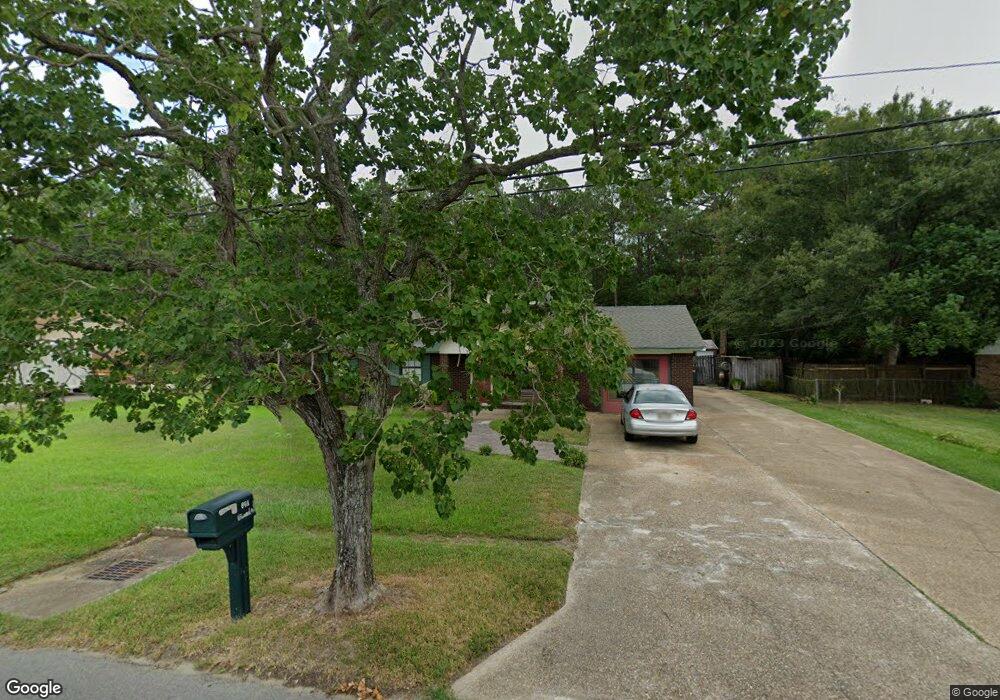
868 Vee St Biloxi, MS 39532
Estimated Value: $183,000 - $362,000
3
Beds
1
Bath
2,760
Sq Ft
$94/Sq Ft
Est. Value
About This Home
This home is located at 868 Vee St, Biloxi, MS 39532 and is currently estimated at $260,031, approximately $94 per square foot. 868 Vee St is a home located in Harrison County with nearby schools including North Bay Elementary School, Biloxi Junior High School, and Biloxi High School.
Ownership History
Date
Name
Owned For
Owner Type
Purchase Details
Closed on
Sep 29, 2023
Sold by
Gruich Thomas Joseph and Gruich Lola Ann
Bought by
Gruich Luke C
Current Estimated Value
Home Financials for this Owner
Home Financials are based on the most recent Mortgage that was taken out on this home.
Original Mortgage
$90,000
Outstanding Balance
$82,115
Interest Rate
6.55%
Mortgage Type
New Conventional
Estimated Equity
$177,916
Create a Home Valuation Report for This Property
The Home Valuation Report is an in-depth analysis detailing your home's value as well as a comparison with similar homes in the area
Home Values in the Area
Average Home Value in this Area
Purchase History
| Date | Buyer | Sale Price | Title Company |
|---|---|---|---|
| Gruich Luke C | -- | Pilger Title |
Source: Public Records
Mortgage History
| Date | Status | Borrower | Loan Amount |
|---|---|---|---|
| Open | Gruich Luke C | $90,000 |
Source: Public Records
Tax History
| Year | Tax Paid | Tax Assessment Tax Assessment Total Assessment is a certain percentage of the fair market value that is determined by local assessors to be the total taxable value of land and additions on the property. | Land | Improvement |
|---|---|---|---|---|
| 2025 | $1,348 | $14,749 | $0 | $0 |
| 2024 | $2,362 | $21,327 | $0 | $0 |
| 2023 | $1,235 | $13,981 | $0 | $0 |
| 2022 | $1,235 | $13,981 | $0 | $0 |
| 2021 | $1,223 | $13,876 | $0 | $0 |
| 2020 | $1,166 | $13,341 | $0 | $0 |
| 2019 | $1,166 | $13,341 | $0 | $0 |
| 2018 | $1,166 | $13,341 | $0 | $0 |
| 2017 | $1,166 | $13,341 | $0 | $0 |
| 2015 | $1,222 | $13,852 | $0 | $0 |
| 2014 | -- | $11,892 | $0 | $0 |
| 2013 | -- | $13,852 | $1,960 | $11,892 |
Source: Public Records
Map
Nearby Homes
- 0 Popps Ferry Rd Unit 4138386
- 0 Popps Ferry Rd Unit 4108141
- 0 Popps Ferry Rd Unit 4108136
- 0 Jam Ln
- 830 Bluewood Dr
- 2091 Carolwood Dr
- 796 Sharon Hills Dr
- 856 Rustwood Dr
- 712 Champagne Dr
- 774 Sharon Hills Dr
- 2033 S Hill Dr
- 844 Carolee Cir
- 694 Water's View Dr
- 2106 Lauren Dr
- 726 Sharon Hills Dr
- 873 Carolee Cir
- 734 Canterbury Dr
- 1985 Kornman Dr
- 0 Royale Dr
- 1910 Marsh Cove
Your Personal Tour Guide
Ask me questions while you tour the home.