8681 Wayland Ct Pilot Point, TX 76258
Estimated Value: $563,000 - $690,000
--
Bed
2
Baths
2,154
Sq Ft
$290/Sq Ft
Est. Value
About This Home
This home is located at 8681 Wayland Ct, Pilot Point, TX 76258 and is currently estimated at $624,302, approximately $289 per square foot. 8681 Wayland Ct is a home located in Denton County with nearby schools including Pilot Point Early Childhood Center, Pilot Point Elementary School, and Pilot Point Middle School.
Ownership History
Date
Name
Owned For
Owner Type
Purchase Details
Closed on
Oct 3, 1997
Sold by
Evans Edgar
Bought by
Southard Alan D and Southard Casey L
Current Estimated Value
Home Financials for this Owner
Home Financials are based on the most recent Mortgage that was taken out on this home.
Original Mortgage
$12,000
Interest Rate
8.5%
Create a Home Valuation Report for This Property
The Home Valuation Report is an in-depth analysis detailing your home's value as well as a comparison with similar homes in the area
Home Values in the Area
Average Home Value in this Area
Purchase History
| Date | Buyer | Sale Price | Title Company |
|---|---|---|---|
| Southard Alan D | -- | -- |
Source: Public Records
Mortgage History
| Date | Status | Borrower | Loan Amount |
|---|---|---|---|
| Closed | Southard Alan D | $12,000 |
Source: Public Records
Tax History Compared to Growth
Tax History
| Year | Tax Paid | Tax Assessment Tax Assessment Total Assessment is a certain percentage of the fair market value that is determined by local assessors to be the total taxable value of land and additions on the property. | Land | Improvement |
|---|---|---|---|---|
| 2025 | $3,680 | $518,289 | $167,406 | $440,594 |
| 2024 | $5,664 | $466,512 | $0 | $0 |
| 2023 | $3,686 | $410,478 | $158,685 | $335,315 |
| 2022 | $5,463 | $382,206 | $102,033 | $379,967 |
| 2021 | $4,986 | $368,000 | $77,579 | $290,421 |
| 2020 | $4,705 | $315,000 | $77,579 | $237,421 |
| 2019 | $5,031 | $315,338 | $77,579 | $237,759 |
| 2018 | $4,795 | $298,236 | $77,579 | $252,466 |
| 2017 | $4,370 | $270,000 | $67,460 | $202,540 |
| 2016 | $3,999 | $258,000 | $67,460 | $190,540 |
| 2015 | $3,628 | $251,105 | $67,460 | $183,645 |
| 2013 | -- | $212,000 | $62,401 | $149,599 |
Source: Public Records
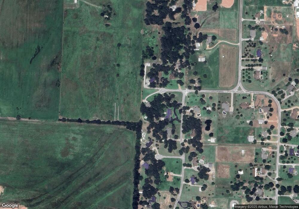
Map
Nearby Homes
- 9577 Vail Eton Dr
- 9039 Vail Eton Dr
- TBD Bell Rd
- 10040 Horseshoe Nail Rd
- 12041 Bell Rd
- 9940 Cole Rd
- 12024 Friendship Rd
- 9470 U S 377
- 9009 Saratoga St
- 435 Belew Rd
- McClellan II Plan at Saratoga - Saratoga 40's
- Holbrook II Plan at Saratoga - Saratoga 40's
- Cedar Plan at Saratoga - Saratoga 40's
- Rayburn III Plan at Saratoga - Saratoga 40's
- Caddo II Plan at Saratoga - Saratoga 40's
- Olive III Plan at Saratoga - Saratoga 50's
- Rowan Plan at Saratoga - Saratoga 50's
- Cypress II Plan at Saratoga - Saratoga 50's
- Rosewood Plan at Saratoga - Saratoga 50's
- Basswood II Plan at Saratoga - Saratoga 50's
- 9342 Vail Eton Dr
- 9370 Vail Eton Dr
- 8688 Wayland Ct
- 8616 Wayland Ct
- 9371 Vail Eton Dr
- 9327 Vail Eton Dr
- 8581 Wendell Ct
- 9436 Vail Eton Dr
- 9417 Vail Eton Dr
- 9042 Vail Eton Dr
- 9225 Vail Eton Dr
- 9443 Vail Eton Dr
- 8476 Wynelle Ct
- 10299 Copeland Place
- 10132 Copeland Place
- 9117 Vail Eton Dr
- 10133 Copeland Place
- 9077 Vail Eton Dr
- 10037 Copeland Place
- 9616 Vail Eton Dr