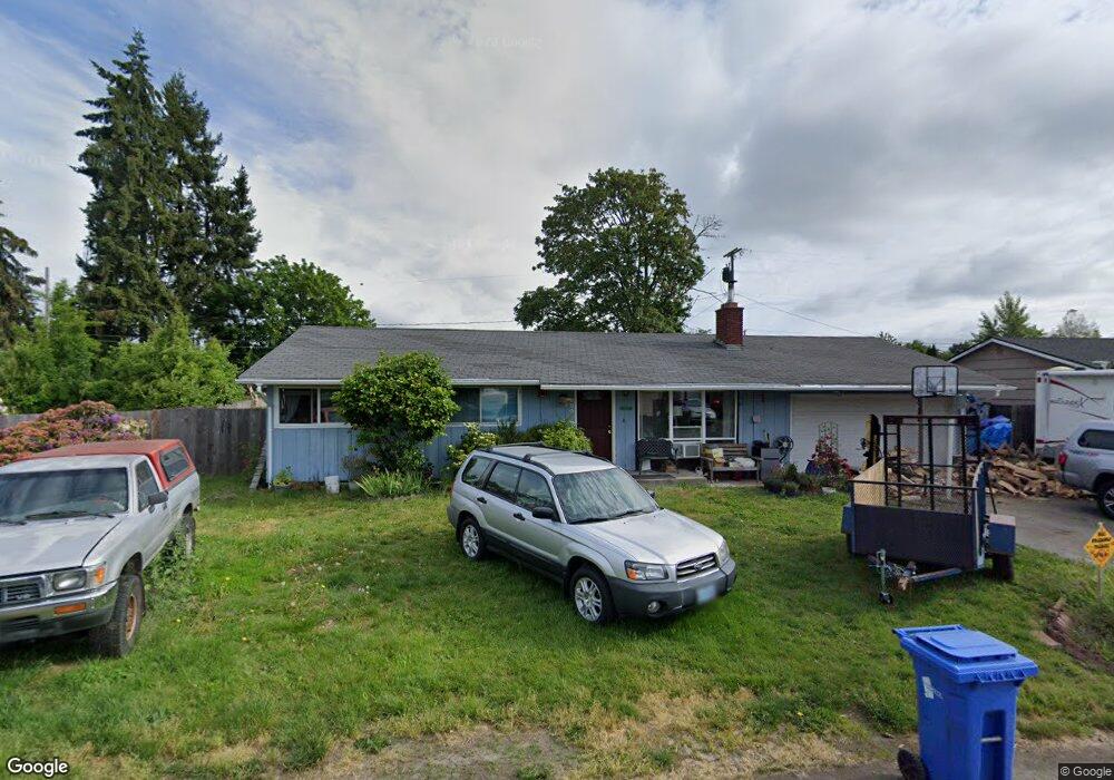
869 Elm Dr Eugene, OR 97404
River Road NeighborhoodEstimated Value: $437,941 - $454,000
4
Beds
2
Baths
1,520
Sq Ft
$294/Sq Ft
Est. Value
About This Home
This home is located at 869 Elm Dr, Eugene, OR 97404 and is currently estimated at $447,235, approximately $294 per square foot. 869 Elm Dr is a home located in Lane County with nearby schools including Howard Elementary School, Kelly Middle School, and North Eugene High School.
Ownership History
Date
Name
Owned For
Owner Type
Purchase Details
Closed on
Sep 17, 2010
Sold by
Wilson Gary R
Bought by
Holton Archer Holly
Current Estimated Value
Purchase Details
Closed on
Oct 15, 2008
Sold by
Burrington Megan Marie and Hefner Shane Christian
Bought by
Wilson Jeffery S
Home Financials for this Owner
Home Financials are based on the most recent Mortgage that was taken out on this home.
Original Mortgage
$153,545
Interest Rate
6.31%
Mortgage Type
VA
Purchase Details
Closed on
Jul 17, 2007
Sold by
Henkaline Roger Wayne
Bought by
Burrington Megan Marie and Hefner Shane Christian
Home Financials for this Owner
Home Financials are based on the most recent Mortgage that was taken out on this home.
Original Mortgage
$185,600
Interest Rate
9.05%
Mortgage Type
Stand Alone First
Create a Home Valuation Report for This Property
The Home Valuation Report is an in-depth analysis detailing your home's value as well as a comparison with similar homes in the area
Home Values in the Area
Average Home Value in this Area
Purchase History
| Date | Buyer | Sale Price | Title Company |
|---|---|---|---|
| Holton Archer Holly | -- | None Available | |
| Wilson Jeffery S | $168,500 | Western Title & Escrow Compa | |
| Burrington Megan Marie | $232,000 | First American Title Ins Co |
Source: Public Records
Mortgage History
| Date | Status | Borrower | Loan Amount |
|---|---|---|---|
| Previous Owner | Wilson Jeffery S | $153,545 | |
| Previous Owner | Burrington Megan Marie | $185,600 |
Source: Public Records
Tax History
| Year | Tax Paid | Tax Assessment Tax Assessment Total Assessment is a certain percentage of the fair market value that is determined by local assessors to be the total taxable value of land and additions on the property. | Land | Improvement |
|---|---|---|---|---|
| 2025 | $3,835 | $228,292 | -- | -- |
| 2024 | $3,794 | $221,643 | -- | -- |
| 2023 | $3,794 | $215,188 | $0 | $0 |
| 2022 | $3,568 | $208,921 | $0 | $0 |
| 2021 | $3,318 | $202,836 | $0 | $0 |
| 2020 | $3,342 | $196,929 | $0 | $0 |
| 2019 | $3,224 | $191,194 | $0 | $0 |
| 2018 | $3,007 | $180,219 | $0 | $0 |
| 2017 | $2,876 | $180,219 | $0 | $0 |
| 2016 | $2,692 | $174,970 | $0 | $0 |
| 2015 | $2,630 | $169,874 | $0 | $0 |
| 2014 | $2,634 | $164,926 | $0 | $0 |
Source: Public Records
Map
Nearby Homes
- 1682 Hemlock St
- 1755 Brentwood Ave
- 1566 Maywood Ave
- 1307 Bramblewood Ln
- 389 Maxwell Rd
- 1314 Dalton Dr
- 1880 Manihi Dr
- 401 Sterling Dr
- 788 Cornwall Ave
- 2002 Kintyre St
- 1487 Barton St
- 1483 Barton St
- 541 Durham Ave
- 303 Lenore Loop
- 1360 Andersen Ln
- 2418 Kalmia St
- 1164 Veronica Ln
- 2439 Quince St
- 2563 York St
- 1010 Horn Ln
Your Personal Tour Guide
Ask me questions while you tour the home.